Updates to SoilWeb Mobile: Distance from Nearest Map Unit Boundary
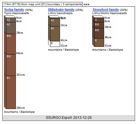
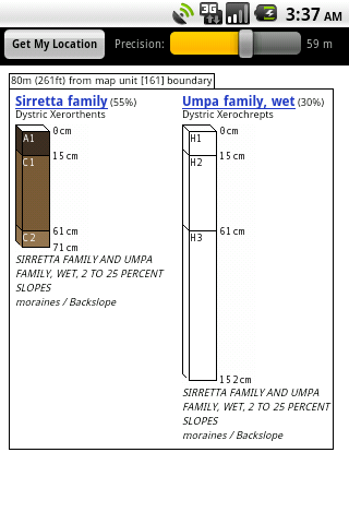
Mar 16, 2011 metroadminWorking on some new ideas on how map unit data can be summarized on small screens-- particularly for our mobile version of SoilWeb. The distance from the nearest map unit polygon boundary is now printed above mini soil profile sketches. This gives the user a little more information that can be used to judge a relative degree of confidence in the returned soils data; the closer you are to the boundary the less likely you are actually standing in displayed map unit.
Here is an example:

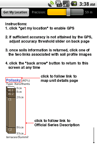
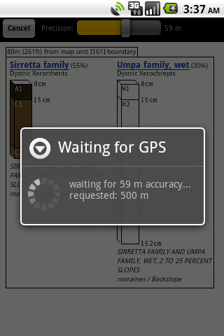
Should have a new version of SoilWeb for the Android operating system with a much cleaner interface, and user-selectable GPS precision. And here are some screen shots:


