Accessing PINN Soils Data in Google Earth
Overview
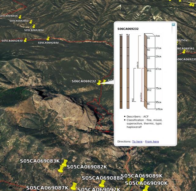
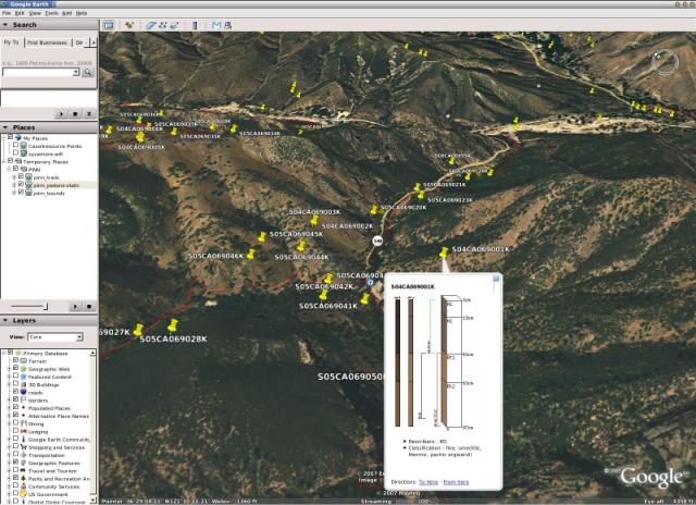
Google Earth provides a flexible and open ended vizualization system for geographic data. We intend to present PINN soils data thorugh our own, 2 dimensional, interface (to avoid dependence on a quasi-free setup like GE). However, there are considerable extra features that can be added onto our presentation of the data through GE. For example, synthesized pedon data, photographs, and even geologic diagrams can be presented to the user in a 3D environment with little work on our end: we have the data, GE does the hard work of presenting it in 3D. Some early examples of what this might be like, along with links to the actual data, are presented below. Download GE and our data to give it a try for yourself.

PINN Data in Google Earth
Get Google Earth
http://earth.google.com/
Live Data (use a network link)
Static Data (download and open locally)
Converting GIS data to KML
Projects
- BMP's for Irrigated Agriculture
- Pedology and Soil Survey
- Geographic Nutrient Management Zones for Winegrape Production
- GIS and Digital Soil Survey Projects
- New Technologies in Soil Survey
- Other Information
- Pinnacles National Monument
- Terrain Classification Experiment 2: GRASS, R, and the raster package
- Images from Pinnacles Soil Profile Analysis
- Accessing PINN Soils Data in Google Earth
- Computing terrain-specific slope classes by region
- Finding pockets of soil between the Pinnacles
- Islands of Fertility: Oak Tree vs. Buckwheat Savannah Soils
- Pedon Data collection and entry graphs
- Restored 1933 Geologic Map of Pinnacles
- Soil Color Ideas
- Soil Properties by Parent Material and Rock Type
- Some panoramic pictures
- Insolation Time Experiments
- Pinnacles National Monument
- Rangeland Soil Management and Hydrology


