GRASS GIS: raster, vector, and imagery analysis
A geographic information system (GIS) can be useful tool for describing, modeling, and interpreting data with a spatial reference. Unlike commerical GIS software GRASS is free, and its source code is available for review, modification, or updating. Soil scientists interested in using digital soil survey information, or 3D visualization of soils data may find that GRASS will fit their needs. In addition, GRASS contains hundreds of raster-based operations, such as DEM creation, hydrologic modeling, and solar radiation modeling.
If you have a Macintosh, installation of GRASS is quite simple. Please see Lorenzo Moretti's great website with instructions and an installer: here.
If you have a UNIX machine it is possible to install a pre-compiled binary version of GRASS. However, not every source has an updated version. For the latest updates, I would suggest compiling GRASS from source code.
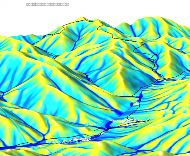
 Hydrologic Modeling |
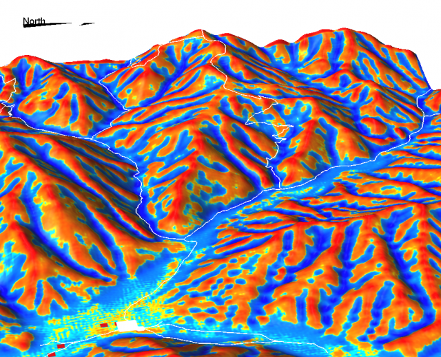
 Surface Curvatures |
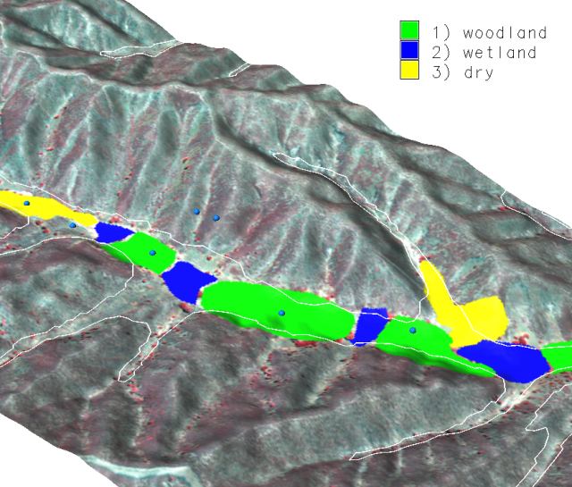
 3D Visualization |
Articles:
QGIS GRASS Recipes
GRASS6 in a nutshell by Markus Neteler
More:
Links from OSS for Soil Scientists Class
Pages in Section
Software
- General Purpose Programming with Scripting Languages
- LaTeX Tips and Tricks
- PostGIS: Spatially enabled Relational Database Sytem
- PROJ: forward and reverse geographic projections
- GDAL and OGR: geodata conversion and re-projection tools
- R: advanced statistical package
- GRASS GIS: raster, vector, and imagery analysis
- Generic Mapping Tools: high quality map production

