Geologic-Scale Erosion
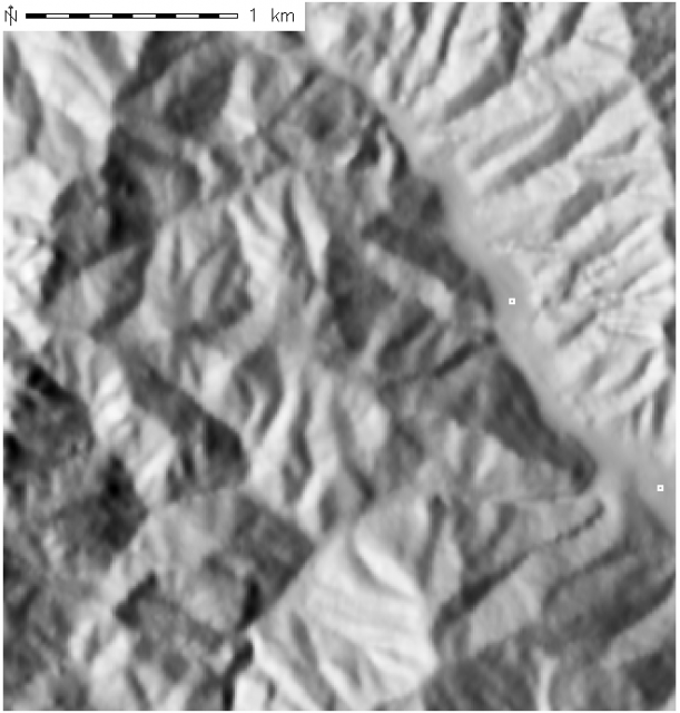
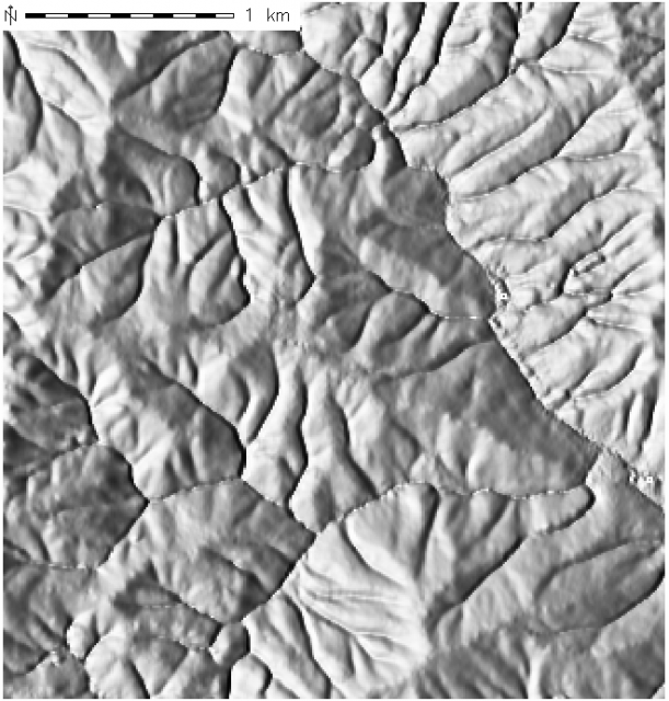
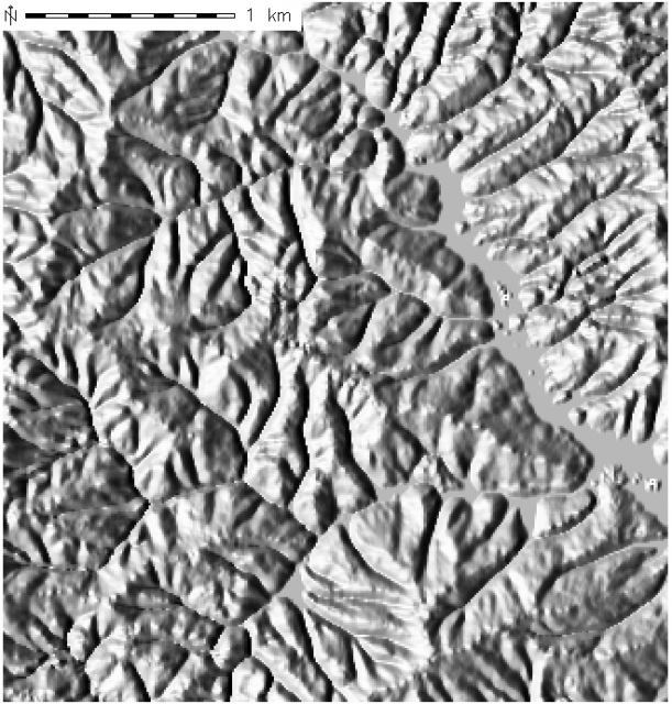
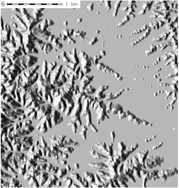
Aug 11, 2005 metroadmin100 iterations of mass removal based on preferential flow of water as calculated by r.topidx in GRASS. Notice how landform is cutdown most in stream channels, least at the ridges. The basins between ridges appear to "fill" with sediment near the 50th iteration as the entire landform is lowered to sea level (0m). Absolute change in elevation is visble in the elevation profiles below. Example GRASS commands below. Here is a link to a movie, containing all 100 iterations.
Note that this is *not* a direct measure of sediment removal, mearly one means of visualizing the qualitative effects of sediment removal. Actual sediment flow values could possibly be calculated with r.terraflow and some expert knowledge of the area. In addition, sediment transport models such as RUSLE, USPED, and SIMWE will provide a quantitative erosion AND deposition estimate. Details here:
- Comparision of the three methods by H. Mitasova
- Explanation of SIMWE by H. Mitasova
- Explanation of USPED by H. Mitasova
- Additional erosion modeling information by H. Mitasova
- http://skagit.meas.ncsu.edu/~chris/terradyn/lw.html

Elevation profiles for selected time steps.
 Initial Landform |
 10 Iterations |
 50 Iterations |
 100 Iterations |
 r.topidx in=elev_meters out=ti
#
for x in `seq 0 1 100`
  do r.mapcalc "e = if( float(elev_meters - float($x*ti)) > 0.0 ,float(elev_meters - float($x*ti) ), 0.0 )"
 r.shaded.relief map=e shade=s1
 d.rast s1
 d.barscale at=0,0
 d.out.png out=e_$x res=1
 d.erase
done
convert `ls *.png | sort -n -k2 -t"_"` movie.mpg

#make an elevation profile
r.profile in=e100 profile=663451.38153808,4038227.40942676,663719.16510544,4041226.58538121 > e100.profile
Links:
Raster Operations
GRASS GIS: raster, vector, and imagery analysis
Geologic-Scale Erosion
Software
- General Purpose Programming with Scripting Languages
- LaTeX Tips and Tricks
- PostGIS: Spatially enabled Relational Database Sytem
- PROJ: forward and reverse geographic projections
- GDAL and OGR: geodata conversion and re-projection tools
- R: advanced statistical package
- GRASS GIS: raster, vector, and imagery analysis
- Generic Mapping Tools: high quality map production

