Establishing the Optimal Number of Survey Points
First Pass: Terrain Skeleton
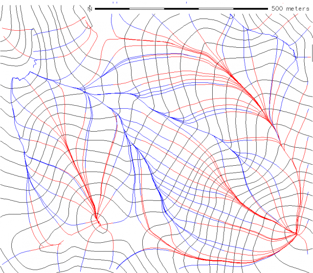
Terrain Skeleton
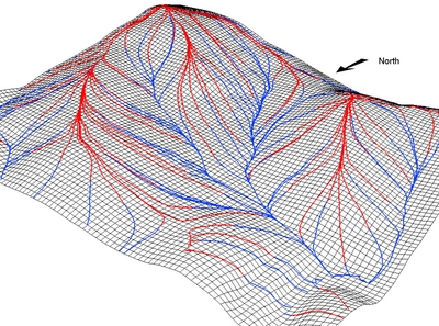
Terrain Skeleton 3D
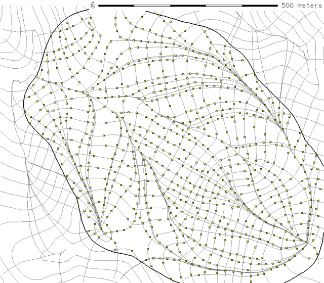
Initial Estimation
- 50 meter interval sampling of contours
- 10 meter interval sampling of terrain skeleton
- 15 meter thinning (snapping) radius