
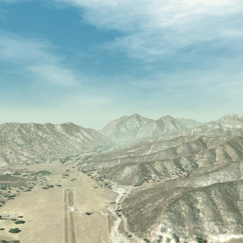
View of Mt. Defiance from Bear Valley, Pinnacles National Monument. Pan Chromatic 2m res.
Thanks to Markus Neteler for initial insight on how to build an appropriate POVRAY script file.
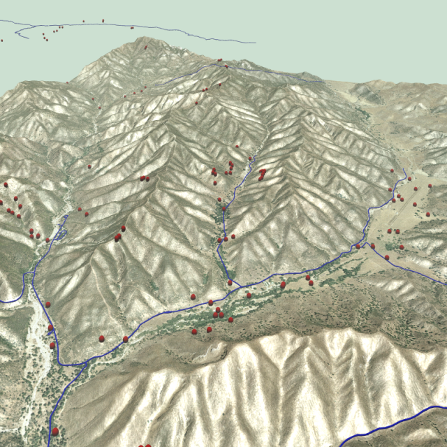 GRASS Vectors |
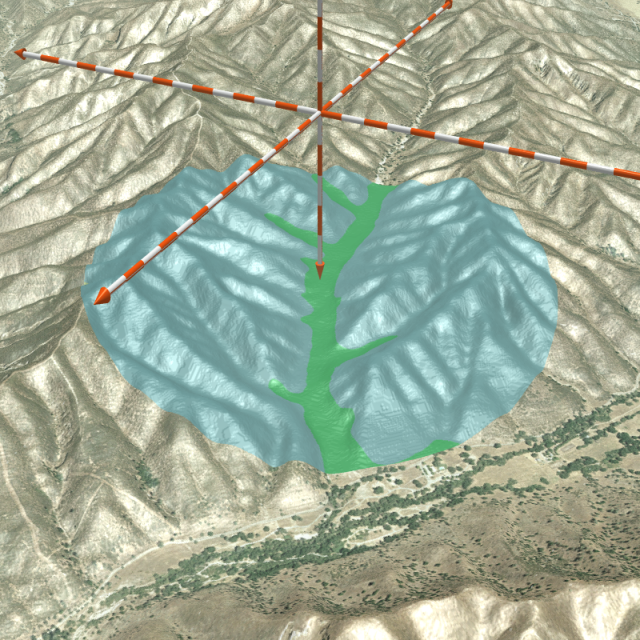 SSURGO cutaway |
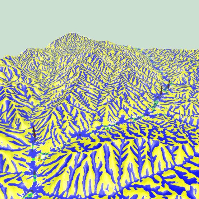
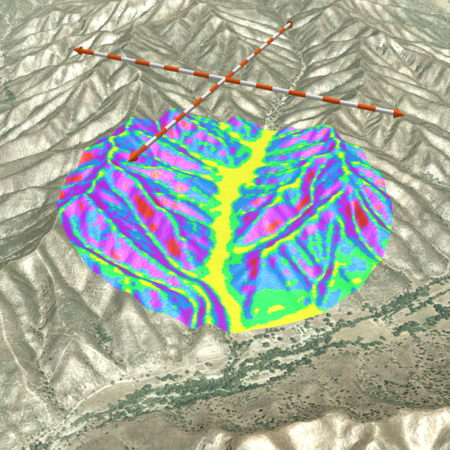 Slope class cutaway |
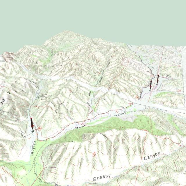 Topomap |
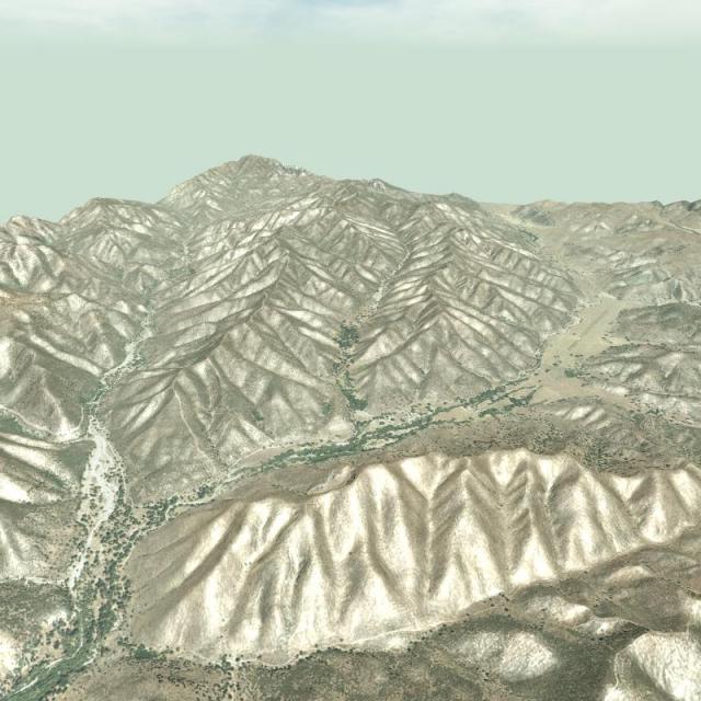 Panchromatic |
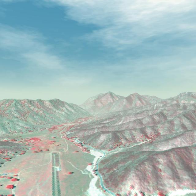 Near infrared |
 Geomorphic features |
GRASS pre-processing
 # C/O  Markus Neteler
# modified by Dylan Beaudette for UTM projections
# 8/22/2005

#GRASS procedures:

# Note that elevation and overlay must be the same size (dx, dy)

# set the region:
g.region res=4

# dem export cubic-resample from 10m to 4m resolution:
r.resamp.interp method=cubic in=elev_meters out=elev.4m

# reset resolution to match resampled DEM
# this might be required if your DEM does not extend beyond the extent of the resampling step
# r.resamp.interp will automatically extend the region when performing resampling, if the raster is large enough
# g.region rast=elev.4m
r.out.pov map=elev.4m tga=elev.4m.tga

# overlay export
r.out.png in=ikonos.rgb out=ikonos.4m.png

# Render with POVRAY:
povray +Ipinn.pov +Opinn.png +D +P +W800 +H800 +A
pinn.pov
# include "shapes.inc"
# include "colors.inc"
# include "textures.inc"
# include "skies.inc"

# declare Sun = color rgb <0.8, 0.8, 0.8>;
# declare Scale = 1;


light_source { < 667167, 70000, 4040564 > color White }

fog {
 fog_type 2
 fog_offset 50
 fog_alt 65
 color rgb <0.80, 0.88, 0.82>
 distance 80
 up y }

camera {
   //looking at Mt. Defiance from Bear Valley
   location <667101.25310945, 600, 4042753.78420398 > //easting, elev, northing
   look_at < 664250.03420398, 618, 4037343.47947761 > //easting, elev, northing

   //looking at McCabe Canyon
   //location < 667259.00497512, 2000, 4036823.48258706 > //easting, elev, northing
   //look_at < 665225.75870647, 300, 4041018.51368159> //easting, elev, northing

   angle  60 // vertical camera aperture

}


height_field  {
   tga "elev.4m.tga"
   smooth
   texture {
      pigment {
          image_map { // image is always projected from -z, with front facing +z, top to +Y
             png "ikonos.4m.png"        //our overlay image
//           png "tci.4m.png"
             once
          }
          rotate x*90 // align map to height_field
      }
   }
   finish {
          ambient 0.2         // Very dark shadows
          diffuse 0.8         // Whiten the whites
          phong 0.2          // shiny
          phong_size 100.0    // with tight highlights
          specular 0.5
          roughness 0.05
   }
   scale < 9270, 65535, 9395 > // dx,dz,dy of extent in meters
   translate  < 660575, 0, 4036730> // west_corner, 0, south_corner
}


sky_sphere{
    pigment {planar colour_map{[0,rgb <0.9,0.9,1>][1, rgb <0.1,0.2,1>]}}
    pigment{P_Cloud4}
    scale 2 //avoid repetion
    translate 300  //dx, dz, dy
}
