
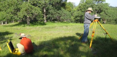
Elevation Survey by RTK
Draft Elevation Model
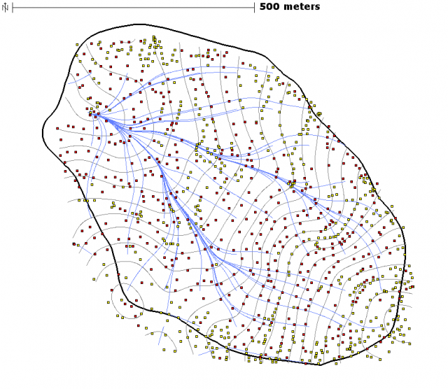
Vertical Precision: Yellow points represent vertical precisions less than 10cm, red points are for precisions greater than 10cm. 10 meter contour interval.
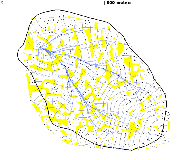
Regions with low point coverage: in yellow. 10 meter contour interval.
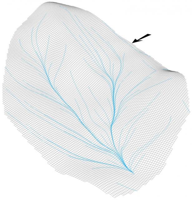
Draft SFREC elevation model: viewed from the north-west
