
Welcome to the UC Davis Soil Resource Laboratory. Our research covers many aspects of soil science including:
- Soil genesis and morphology
- Rangeland soils
- Hydropedology
- Water quality and constructed wetlands
- Soil-landscape relationships and modeling
- Watershed-scale digital soil mapping and quantitative pedology
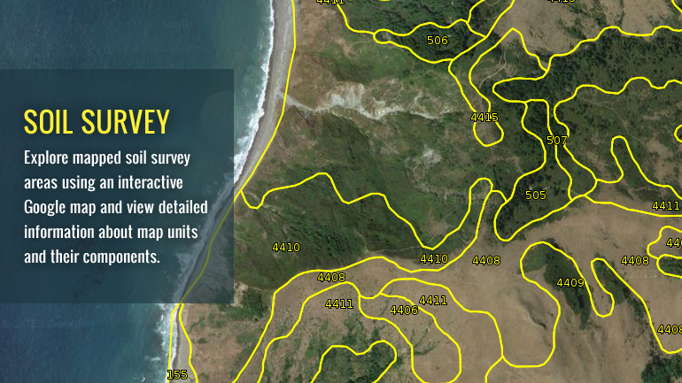
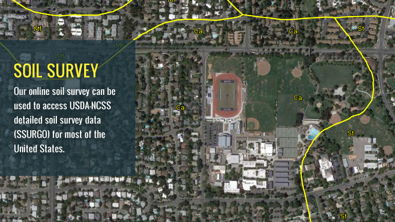
- Repackaging soil survey into interactive decision support tools
- Soil survey related outreach, including one of the first online soil surveys, SoilWeb
For more information about the people in our lab, please click on the "People" link at the top of the page.The content on this website is frequently updated. Please utilize our RSS feeds to stay informed of progress. Here is a list of RSS aggregator software packages.

California Soil Resource Lab. Metro Cluster. All rights reserved.