Vernon-Clairemont frequently flooded complex, 0 to 12 percent slopes
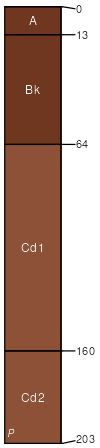
Vernon
(55%)
Red Clay (South) 23-30 PZ
Typic Haplustepts
Well drained
Hydric: No
PAWS: 14 cm
hillslopes / Backslope
hillslopes / Footslope
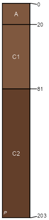
Clairemont
(30%)
Loamy Bottomland 23-31 PZ
Typic Ustifluvents
Well drained
Hydric: No
PAWS: 38 cm
flood plains
Tillman
(8%)
Clay Loam 23-30 PZ
Vertic Paleustolls
Well drained
Hydric: No
PAWS: NA
hillslopes / Footslope
hillslopes / Toeslope
Ashport
(6%)
Loamy Bottomland
Fluventic Haplustolls
Well drained
Hydric: No
PAWS: NA
flood plains
Rock outcrop
(1%)
Hydric: No
PAWS: NA
hillslopes / Backslope
SSA
Scale
Published
Export
ok031
1:24,000
1965
2025-08-29