Badland-Menefee complex, 15 to 35 percent slopes
Badland
(50%)
Hydric: No
PAWS: NA
Menefee
(30%)
Pinyon Upland
Aridic Ustorthents
Well drained
Hydric: No
PAWS: 4 cm
hillslopes / Backslope
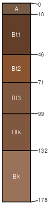
Parkelei
(9%)
Loamy
Aridic Haplustalfs
Well drained
Hydric: No
PAWS: 31 cm
hills / Summit
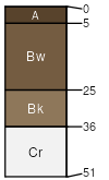
Sparham
(7%)
Clayey
Aridic Ustifluvents
Well drained
Hydric: No
PAWS: 28 cm
stream terraces
Vessilla
(4%)
Sandstone Upland (JUOS, PIED) 13-17 p.z. (Provisional)
Aridic Lithic Ustorthents
Well drained
Hydric: No
PAWS: 5 cm
ridges
SSA
Scale
Published
Export
nm678
1:24,000
2025-09-09