| Badlands, sea cliffs | 36SE01 | 34 | 2661463 | 2rpw3 | ak636 | 2015 | 1:63360 |
Badland, sea cliffs-Typic Cryorthents complex, very steep | 504 | 1403 | 1487939 | 1lyb1 | ak652 | 2005 | 1:25000 |
Badland, sea cliffs | 503 | 1291 | 1487938 | 1lyb0 | ak652 | 2005 | 1:25000 |
Gypill-Badland association, 10 to 70 percent slopes | 28 | 9563 | 52311 | 1rfg | az623 | 1994 | 1:24000 |
Badland | 6 | 456 | 52398 | 1rj8 | az623 | 1994 | 1:24000 |
Badland | 1 | 582 | 52443 | 1rkq | az625 | 1992 | 1:24000 |
Badland-Torriorthents complex, moderately steep | 5 | 584 | 52684 | 1rth | az631 | 1980 | 1:24000 |
Badland-Torriorthents complex, 0 to 8 percent slopes | 205 | 363 | 3051056 | 2v1cb | az631 | 1980 | 1:24000 |
Badland-Torriorthents association, 1 to 30 percent slopes | 3 | 66000 | 54202 | 1tdg | az633 | 1994 | 1:24000 |
Badland | BA | 94290 | 1718461 | 1vp67 | az635 | 1968 | 1:31680 |
Badland | Ba | 21560 | 52821 | 1ryx | az637 | 1968 | 1:31680 |
Badland-Torriorthents-Torripsamments complex, 10 to 60 percent slopes | 4 | 24457 | 54798 | 1v0p | az656 | 1983 | 1:20000 |
Claysprings-Badland-Farb family complex, 2 to 35 percent slopes, very stony | 7 | 1177 | 2515659 | 20b18 | az712 | | 1:24000 |
Badland-Torriorthents complex, 8 to 50 percent slopes | 2 | 28465 | 54705 | 1txp | az714 | 1985 | 1:24000 |
Badland-Claysprings family complex, 3 to 60 percent slopes | 6 | 58386 | 58029 | 2qsyr | az715 | 2007 | 1:24000 |
Badland-Hanksville complex, 35 to 60 percent slopes | 7 | 37816 | 58012 | 2qsy6 | az715 | 2007 | 1:24000 |
Badland-Torriorthents association, 1 to 30 percent slopes | 8 | 25398 | 1650646 | 2sflr | az715 | 2007 | 1:24000 |
Chipeta family-Badland-Moncisco complex, 2 to 45 percent slopes | 22 | 3307 | 58017 | 2qsyc | az715 | 2007 | 1:24000 |
Badland | 105 | 144 | 459508 | hf4v | ca033 | 1985 | 1:24000 |
Badland | Ba | 25000 | 455562 | h91k | ca053 | 1972 | 1:24000 |
Badland | BaG | 29539 | 456162 | h9nx | ca069 | 1965 | 1:20000 |
Ordeal-Passion-Badland association, 50 to 100 percent slopes | 101 | 678 | 1861967 | 20hjg | ca069 | 1965 | 1:20000 |
Badland | 146 | 6 | 1861995 | 20hkc | ca069 | 1965 | 1:20000 |
Badland | Bamo | 3 | 849244 | xhpz | ca069 | 1965 | 1:20000 |
Badland | BaG | 2936 | 456733 | hb8b | ca638 | 1967 | 1:24000 |
Monoridge-Exclose-Badland association, 30 to 65 percent slopes | 710 | 12554 | 467083 | hp16 | ca653 | 2000 | 1:24000 |
Badland-Kettleman-Mercey association, 15 to 50 percent slopes | 670 | 11761 | 467081 | hp14 | ca653 | 2000 | 1:24000 |
Grazer-Badland-Wisflat association, 15 to 75 percent slopes | 737 | 1941 | 467093 | hp1j | ca653 | 2000 | 1:24000 |
BADLAND | 112 | 2885 | 457215 | hbrw | ca665 | 1977 | 1:24000 |
Badland | 113 | 1140 | 463658 | hkgq | ca666 | 1983 | 1:24000 |
Xerorthents-Badland complex, 30 to 75 percent slopes | 219 | 6890 | 458457 | hd1y | ca667 | 2003 | 1:24000 |
Semper-Badland association, 50 to 100 percent slopes | 375 | 2775 | 458501 | hd3c | ca667 | 2003 | 1:24000 |
Xeric Torriorthents-Badland complex, 30 to 75 percent slopes | 249 | 2475 | 458469 | hd2b | ca667 | 2003 | 1:24000 |
Pyxo-Cochora-Badland association, 15 to 75 percent slopes | 250 | 210 | 458549 | hd4x | ca667 | 2003 | 1:24000 |
BADLAND | 103 | 3500 | 463922 | hkr7 | ca671 | 1978 | 1:24000 |
Badland | BdG | 25597 | 457667 | hc7g | ca674 | 1968 | 1:24000 |
Badland | 102 | 2180 | 456004 | h9ht | ca676 | 1975 | 1:24000 |
Badland | BaG | 30845 | 458160 | hcrc | ca679 | 1967 | 1:15840 |
Badland | BA | 22710 | 464002 | hktt | ca680 | 1974 | 1:24000 |
Badland | BaG | 3238 | 464063 | hkws | ca681 | 1968 | 1:24000 |
Badland | 102 | 4390 | 455491 | h8z8 | ca683 | 1976 | 1:24000 |
Delphine-Badland-Miasotus complex, 30 to 75 percent slopes | 241 | 2575 | 1020161 | 137kf | ca688 | 2008 | 1:24000 |
Livigne-Macool-Badland complex, 30 to 70 percent slopes | 310 | 1717 | 1020176 | 137kx | ca688 | 2008 | 1:24000 |
Loslobos-Xeric Torriorthents, very gravelly-Badland association, 30 to 50 percent slopes | 400 | 14282 | 466417 | hnbq | ca691 | 2008 | 1:24000 |
Littlesignal-Badland-Cochora association, 15 to 75 percent slopes | 432 | 11961 | 466552 | hnh2 | ca691 | 2008 | 1:24000 |
Xeric Torriorthents-Badland complex, 30 to 75 percent slopes | 540 | 7429 | 466430 | hnc4 | ca691 | 2008 | 1:24000 |
Pyxo-Cochora-Badland association, 15 to 75 percent slopes | 471 | 6212 | 466554 | hnh4 | ca691 | 2008 | 1:24000 |
Calcic Haploxerepts-Xerorthents, shallow-Badland complex, 30 to 100 percent slopes | 955 | 3662 | 628327 | p2tm | ca691 | 2008 | 1:24000 |
Elkhills-Badland complex, 30 to 50 percent slopes | 443 | 1846 | 466421 | hnbv | ca691 | 2008 | 1:24000 |
Zonap-Badland-Beam complex, 30 to 75 percent slopes | 515 | 401 | 628322 | p2tg | ca691 | 2008 | 1:24000 |
Xerorthents-Badland complex, 30 to 75 percent slopes | 219 | 345 | 2389936 | 2l6xq | ca691 | 2008 | 1:24000 |
Badland | 122bo | 186 | 2390646 | 2l7nm | ca763 | 1984 | 1:24000 |
Trigo-Modesto families-Badland association, 45 to 90 percent slopes | 46 | 18246 | 465314 | hm64 | ca772 | 1981 | 1:24000 |
Reliz-Trigo families-Badland association, 40 to 90 percent slopes | 40 | 16133 | 465308 | hm5y | ca772 | 1981 | 1:24000 |
Typic Xerorthents, warm-Typic Haploxeralfs-Badland complex, 30 to 100 percent slopes | ChFG | 17190 | 471618 | htrh | ca777 | 1981 | 1:24000 |
Badland | G | 3460 | 471649 | htsh | ca777 | 1981 | 1:24000 |
Morical family, dry-Badland association, 15 to 50 percent slopes | BgEF | 2790 | 471612 | htr9 | ca777 | 1981 | 1:24000 |
Ordeal-Passion-Badlands association, 50 to 100 percent slopes | 101 | 3171 | 2426418 | 2mfwk | ca788 | 2007 | 1:24000 |
Badlands | 146 | 59 | 2426446 | 2mfxg | ca788 | 2007 | 1:24000 |
Lithic Torriorthents-Badland complex, 15 to 75 percent slopes | 230 | 2715 | 488157 | jcz0 | ca802 | 1996 | 1:24000 |
Badland | 122 | 802 | 488015 | jctf | ca802 | 1996 | 1:24000 |
Badland | 102 | 22 | 3441671 | h8z8 | ca803 | 2012 | 1:24000 |
Badland | 13 | 9288 | 94492 | 35b4 | co075 | 1974 | 1:24000 |
Badland | 6 | 2977 | 95023 | 35w8 | co121 | 1982 | 1:24000 |
Badland | 11 | 7433 | 95101 | 35ys | co617 | 1980 | 1:24000 |
Badland | Ba | 1340 | 497760 | jpys | co646 | 1973 | 1:24000 |
Haplustepts-Badland complex, 40 to 75 percent slopes, eroded | 341D | 5578 | 1414951 | 1jhcl | co654 | | 1:24000 |
Typic Haplustepts, gypsic-Badland complex, 40 to 75 percent slopes | 321D | 2217 | 3243231 | 2zsc3 | co654 | | 1:24000 |
Badland | 300D | 1120 | 1414902 | 1jhb0 | co654 | | 1:24000 |
Haplustepts-Badland complex, 40 to 75 percent slopes, eroded | 341D | 5150 | 3177016 | 1jhcl | co657 | | 1:24000 |
Badland | Ba | 5180 | 498050 | jq84 | co658 | 1968 | 1:20000 |
Badland-Deaver-Chipeta complex, 25 to 65 percent slopes, extremely stony | MC52 | 2540 | 3170436 | k09n | co660 | 1994 | 1:24000 |
Badland | 102 | 166 | 509442 | k33m | co660 | 1994 | 1:24000 |
Badland | 3 | 5761 | 500902 | jt74 | co666 | 1974 | 1:31680 |
Badland | Bd | 1457 | 499265 | jrjb | co668 | 2018 | 1:24000 |
Badland | 9 | 6371 | 58348 | 1yq6 | co669 | 1982 | 1:24000 |
Torriorthents-Badland complex, 25 to 100 percent slopes | 106 | 20855 | 59483 | 1zwt | co670 | 2005 | 1:24000 |
Decorock-Salamander-Badlands association, 3 to 60 percent slopes | 27 | 2672 | 59402 | 1zt6 | co670 | 2005 | 1:24000 |
Badland-Rock outcrop complex | 3 | 942 | 59495 | 1zx6 | co670 | 2005 | 1:24000 |
Littlehat-Persayo-Badland complex, 3 to 45 percent slopes | 50 | 651 | 59506 | 1zxk | co670 | 2005 | 1:24000 |
Camac-Kimbeto-Badland association, 0 to 50 percent slopes | 18 | 454 | 59499 | 1zxb | co670 | 2005 | 1:24000 |
Claysprings-Badland complex, 35 to 60 percent slopes | 21 | 380 | 59500 | 1zxc | co670 | 2005 | 1:24000 |
Hoskay-Patel-Badland complex, 1 to 25 percent slopes | 42 | 49 | 59503 | 1zxg | co670 | 2005 | 1:24000 |
Torriorthents-Badland complex, 25 to 100 percent slopes | 130 | 3692 | 57579 | 1xxd | co671 | 1997 | 1:24000 |
Badland | 493 | 295 | 737663 | srll | co672 | 2003 | 1:24000 |
Badland | 11 | 6779 | 501969 | jvbk | co675 | 1986 | 1:24000 |
Persayo-Badland complex, 25 to 75 percent slopes | 801 | 10018 | 508796 | k2fs | co677 | 2018 | 1:24000 |
Barboncito, extremely flaggy-Badland complex, 15 to 65 percent slopes | 896 | 8910 | 824366 | wntg | co677 | 2018 | 1:24000 |
Xeribrush, extremely stony-Wellsbasin, extremely-Badland complex, 15 to 60 percent slopes | 847 | 8536 | 1149397 | 17l1b | co677 | 2018 | 1:24000 |
Badland | 11 | 202 | 2927462 | jnqx | co677 | 2018 | 1:24000 |
Badland | 11 | 35243 | 496586 | jnqx | co679 | 1976 | 1:24000 |
Persayo-Badland complex, 25 to 75 percent slopes | 801 | 763 | 2990934 | k2fs | co679 | 1976 | 1:24000 |
Barboncito, extremely flaggy-Badland complex, 15 to 65 percent slopes | 896 | 233 | 2927465 | wntg | co679 | 1976 | 1:24000 |
Badland-Deaver-Chipeta complex, 25 to 65 percent slopes, extremely stony | MC52 | 160 | 3170498 | k09n | co679 | 1976 | 1:24000 |
Sili-Winnett-Badland complex, 3 to 25 percent slopes, extremely bouldery | MC42 | 134 | 3170493 | k09c | co679 | 1976 | 1:24000 |
Killpack-Badland-Persayo complex, 3 to 25 percent slopes | 68 | 57599 | 506760 | k0b3 | co680 | 1970 | 1:31680 |
Badland-Deaver-Chipeta complex, 25 to 65 percent slopes, extremely stony | 52 | 28513 | 506746 | k09n | co680 | 1970 | 1:31680 |
Mathis-Badland-Gravier complex, 12 to 50 percent slopes, extremely stony | 60 | 16901 | 506662 | k06y | co680 | 1970 | 1:31680 |
Sili-Winnett-Badland complex, 3 to 25 percent slopes, extremely bouldery | 42 | 9583 | 506737 | k09c | co680 | 1970 | 1:31680 |
Badland | 2 | 21234 | 496679 | jntx | co682 | 1986 | 1:24000 |
Killpack-Badland-Persayo complex, 3 to 25 percent slopes | MC68 | 1651 | 3170527 | k0b3 | co682 | 1986 | 1:24000 |
Badland-Deaver-Chipeta complex, 25 to 65 percent slopes, extremely stony | MC52 | 650 | 3170520 | k09n | co682 | 1986 | 1:24000 |
Badland | 9 | 9500 | 496819 | jnzf | co683 | 1977 | 1:24000 |
Badland | 5 | 15765 | 497001 | jp59 | co685 | 1979 | 1:24000 |
Walknolls-Badland-Rock outcrop complex, 25 to 50 percent slopes | 126 | 864 | 929004 | 105pw | co685 | 1979 | 1:24000 |
Badland-Rock outcrop complex, 1 to 100 percent slopes | 109 | 663 | 927321 | 103yl | co685 | 1979 | 1:24000 |
Badland-Walknolls-Rock outcrop complex, 50 to 90 percent slopes | 110 | 236 | 927320 | 103yk | co685 | 1979 | 1:24000 |
Badland | 8 | 15552 | 497259 | jpfm | co686 | 1992 | 1:31680 |
Badland-Renegade complex, 50 to 80 percent slopes | 251 | 1722 | 629857 | p4dz | co686 | 1992 | 1:31680 |
Walknolls-Badland-Rock outcrop complex, 25 to 50 percent slopes | 269 | 214 | 629979 | p4jx | co686 | 1992 | 1:31680 |
Windcomb-Badland-Rock outcrop complex, 8 to 25 percent slopes, extremely flaggy | 70 | 2427 | 506304 | jzvd | co692 | 1998 | 1:24000 |
Badland-Polychrome-Rock outcrop complex, 50 to 75 percent slopes | 3 | 1887 | 506259 | jzsy | co692 | 1998 | 1:24000 |
Badland-Rock outcrop complex | 4 | 1584 | 506271 | jztb | co692 | 1998 | 1:24000 |
Akina-Badland complex, 15 to 30 percent slopes, MLRA 192 | 19 | 3715 | 465534 | 2x1vr | gu640 | 1985 | 1:25000 |
Akina-Badland association, steep | 21 | 3069 | 465537 | hmfb | gu640 | 1985 | 1:25000 |
Akina-Badland complex, 7 to 15 percent slopes | 18 | 1615 | 465533 | hmf6 | gu640 | 1985 | 1:25000 |
Akina-Badland complex, 30 to 60 percent slopes, MLRA 192 | 20 | 554 | 465536 | 2w047 | gu640 | 1985 | 1:25000 |
Badland, geothermal, 2 to 40 percent slopes | 24 | 124 | 2371901 | 2km4y | hi701 | 2008 | 1:24000 |
Badland, 10 to 50 percent slopes | 25 | 702 | 2371586 | 2klts | hi801 | 2012 | 1:24000 |
Koele-Badland complex, moist, MLRA 164 | KRL | 572 | 468166 | 2v0pv | hi950 | 1966 | 1:24000 |
Badland-Mahana complex | BM | 3411 | 467800 | hpsb | hi960 | 1967 | 1:24000 |
Badland | BL | 1735 | 467799 | hps9 | hi960 | 1967 | 1:24000 |
Koele-Badland complex, 7 to 70 percent slopes, MLRA 158 | KRL | 6497 | 467934 | 2yybr | hi970 | 1966 | 1:24000 |
Paumalu-Badland complex | PZ | 5627 | 468490 | hqhl | hi990 | 1966 | 1:24000 |
Mahana-Badland complex | MBL | 2343 | 468460 | hqgm | hi990 | 1966 | 1:24000 |
Kemoo-Badland complex | KPZ | 1175 | 468408 | hqdy | hi990 | 1966 | 1:24000 |
Badland, 1 to 8 percent slopes | 9908 | 244 | 2519303 | 2prj5 | id001 | 2012 | 1:24000 |
Vanderhoff-Badland complex, 20 to 80 percent slopes | VbG | 2554 | 80887 | 2q58 | id665 | 1967 | 1:20000 |
Badland-Typic Torriorthents-Xeric Torriorthents complex, very steep | 13 | 17867 | 485950 | j9nt | id675 | 1992 | 1:24000 |
Tindahay-Royal-Badland complex, 1 to 90 percent slopes | 178 | 10606 | 486057 | j9s8 | id675 | 1992 | 1:24000 |
Xeric Torriorthents-Typic Torriorthents-Badland complex, very steep | 212 | 6086 | 486133 | j9vq | id675 | 1992 | 1:24000 |
Typic Haploxerolls-Pachic Argixerolls-Badland complex, very steep | 184 | 5656 | 486070 | j9sp | id675 | 1992 | 1:24000 |
Typic Torriorthents-Badland complex, 20 to 70 percent slopes | 164 | 52852 | 2519525 | 2qz4 | id685 | 2012 | 1:24000 |
Badland, 1 to 8 percent slopes | 9908 | 390 | 2519650 | 2prj5 | id685 | 2012 | 1:24000 |
Badland-Kudlac association, 30 to 90 percent slopes | 9 | 6765 | 80299 | 2pk9 | id704 | 1992 | 1:24000 |
Millhi-Badland complex, 5 to 25 percent slopes | 129 | 10816 | 83011 | 2scs | id752 | 1999 | 1:24000 |
Farvant-Badland-Gradco complex, 25 to 60 percent slopes | 68 | 5129 | 83228 | 2sls | id752 | 1999 | 1:24000 |
Badland-Millhi complex, 10 to 50 percent slopes | 5 | 4929 | 83205 | 2sl1 | id752 | 1999 | 1:24000 |
Calcids-Badland-Xerolls complex, rolling to very steep | 30 | 2550 | 83164 | 2sjq | id752 | 1999 | 1:24000 |
Snowslide-Badland-Perreau complex, 5 to 35 percent slopes | 200 | 2066 | 83091 | 2sgc | id752 | 1999 | 1:24000 |
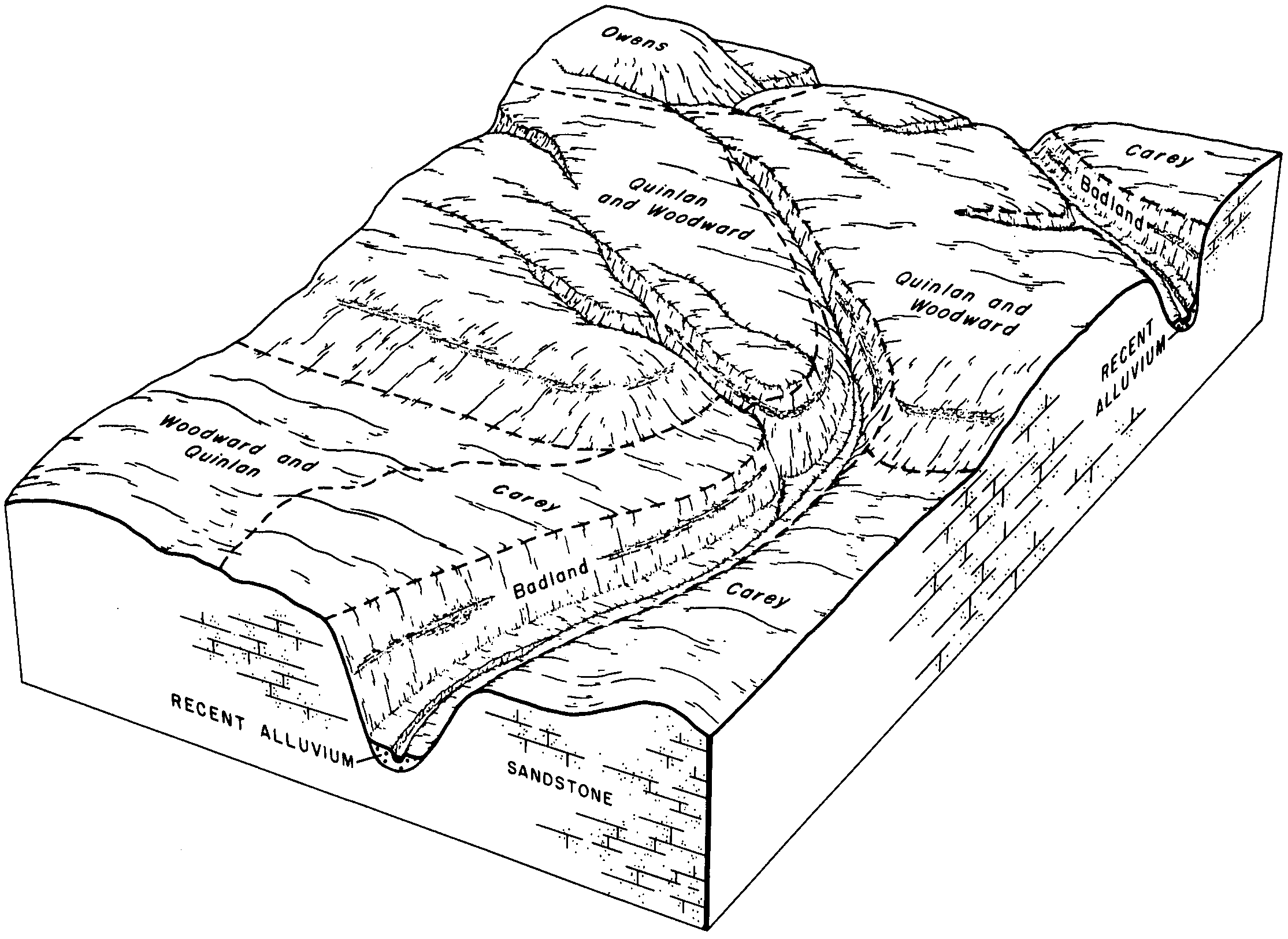
Badland-Woodward complex, 1 to 50 percent slopes | 5405 | 1328 | 1381698 | 1hcrx | ks025 | 1980 | 1:24000 |
Badland-Manvel complex, 3 to 20 percent slopes | 1520 | 296 | 1150102 | 2zwjp | ks051 | 1970 | 1:24000 |
Manvel-Badland complex, 6 to 40 percent slopes | 1691 | 38275 | 1150684 | 307pf | ks063 | 1974 | 1:24000 |
Minnequa-Badland complex, 1 to 50 percent slopes | 1694 | 2357 | 1152027 | 31rhg | ks101 | 1966 | 1:24000 |
Badland | 9973 | 1959 | 1150499 | 17m5w | ks109 | 1962 | 1:24000 |
Manvel-Badland complex, 6 to 40 percent slopes | 1691 | 736 | 1150535 | 307pf | ks109 | 1962 | 1:24000 |
Manvel-Badland complex, 6 to 40 percent slopes | 1691 | 292 | 1151986 | 307pf | ks171 | 1963 | 1:24000 |
Badland | 9973 | 15 | 1151965 | 17nq5 | ks171 | 1963 | 1:24000 |
Manvel-Badland complex, 6 to 40 percent slopes | 1691 | 39 | 1150001 | 307pf | ks179 | 1982 | 1:24000 |
Badland-Manvel complex, 3 to 20 percent slopes | 1520 | 5435 | 1150832 | 2zwjp | ks195 | 1986 | 1:24000 |
Manvel-Badland complex, 6 to 40 percent slopes | 1691 | 690 | 1150863 | 307pf | ks195 | 1986 | 1:24000 |
Akina-Badland complex, 30 to 60 percent slopes, moderately deep, MLRA 191 | 4 | 965 | 465622 | 2x1vs | mp645 | 1986 | 1:10000 |
Akina-Badland complex, 15 to 30 percent slopes, moderately deep, MLRA 191 | 3 | 236 | 465611 | 2w046 | mp645 | 1986 | 1:10000 |
Badland | 13F | 6744 | 342883 | chsr | mt011 | 1992 | 1:24000 |
Badland | 17F | 60965 | 343324 | chk4 | mt017 | 1995 | 1:24000 |
Badland | Ba | 53794 | 341994 | cgw2 | mt021 | 1971 | 1:24000 |
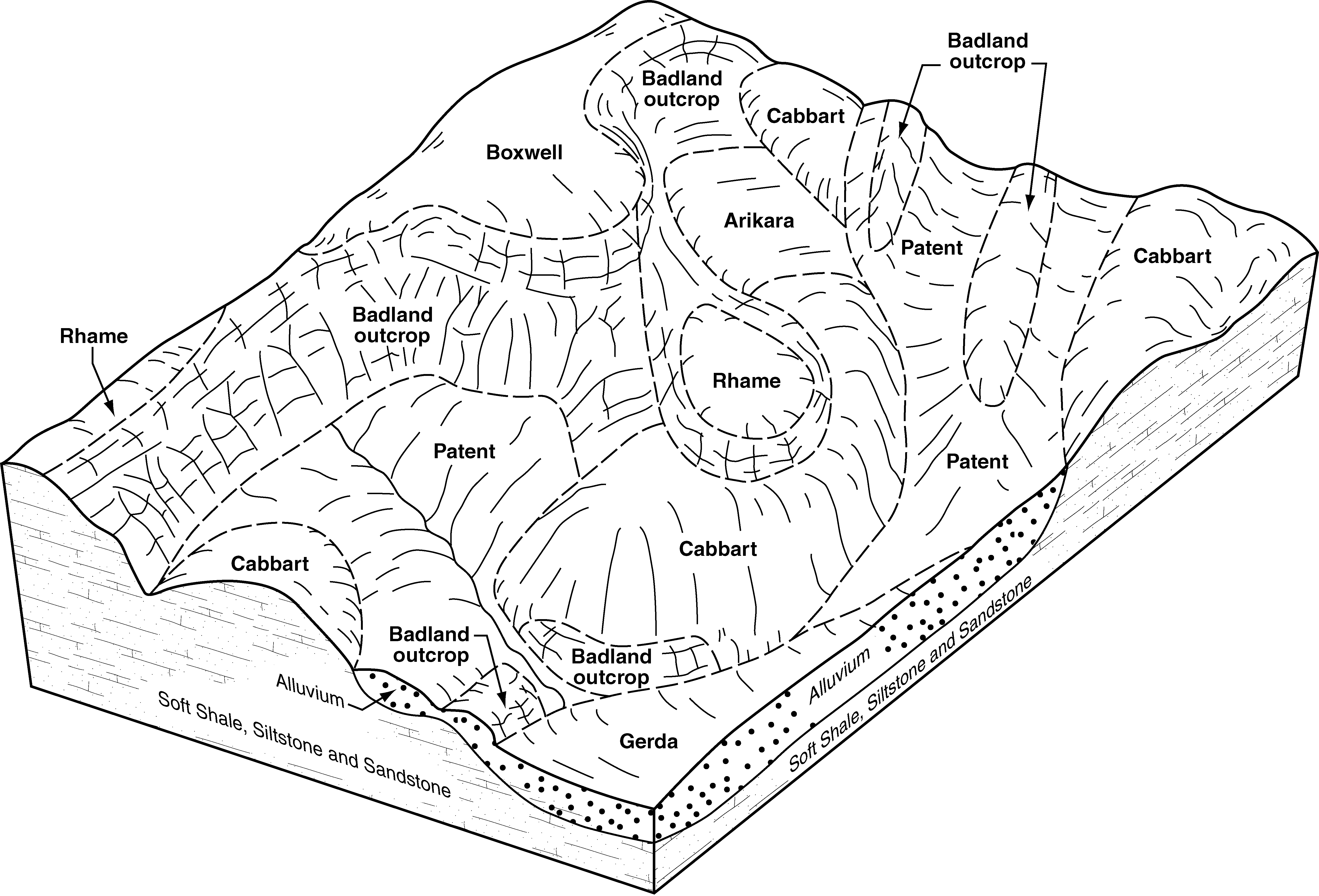
Badland-Patent complex, 6 to 25 percent slopes | L3105E | 7835 | 2837974 | 2q1xc | mt025 | 1991 | 1:24000 |
Badland-Benz-Parchin complex, 0 to 70 percent slopes | 113F | 5332 | 342069 | cgyh | mt025 | 1991 | 1:24000 |
Cabbart-Badland complex, 6 to 70 percent slopes | L3107F | 3871 | 2992144 | 2q2n0 | mt025 | 1991 | 1:24000 |
Badland | 13F | 3104 | 2837972 | cgyz | mt025 | 1991 | 1:24000 |
Badland, 9 to 150 percent slopes | L3197F | 2431 | 342084 | 2qxld | mt025 | 1991 | 1:24000 |
Fleak-Badland complex, 9 to 70 percent slopes | L3109F | 1124 | 2992076 | d353 | mt025 | 1991 | 1:24000 |
Badland-Cabbart complex, 6 to 70 percent slopes | L3101F | 1073 | 2837973 | 2q1xb | mt025 | 1991 | 1:24000 |
Kirby-Badland-Patent complex, 9 to 70 percent slopes | L3007F | 605 | 3223493 | 2q2mw | mt025 | 1991 | 1:24000 |
Badland-Cambeth association, 15 to 70 percent slopes | 1007F | 61561 | 342610 | chhy | mt033 | 2002 | 1:24000 |
Badland | 3F | 12476 | 342647 | chk4 | mt033 | 2002 | 1:24000 |
Yawdim-Badland-Gerdrum association, 15 to 45 percent slopes | 993F | 146 | 339749 | cdjn | mt033 | 2002 | 1:24000 |
Badland | 200F | 12326 | 343867 | cjth | mt041 | 1994 | 1:24000 |
Badland | 200F | 1435 | 344147 | ck3j | mt051 | 1992 | 1:24000 |
Badland | 7 | 38324 | 344435 | chk4 | mt055 | 1981 | 1:24000 |
Yawdim-Badland-Gerdrum association | 166 | 19858 | 344367 | ckbm | mt055 | 1981 | 1:24000 |
Cabba-Badland complex, 15 to 45 percent slopes | 26 | 17923 | 344387 | ckc8 | mt055 | 1981 | 1:24000 |
Zahill-Badland complex, 25 to 45 percent slopes | 171 | 9854 | 344373 | ckbt | mt055 | 1981 | 1:24000 |
Hillon-Badland complex, 15 to 45 percent slopes | 94 | 2487 | 344462 | ckfp | mt055 | 1981 | 1:24000 |
Cabbart-Yawdim-Badland complex, 4 to 35 percent slopes | 84D | 17180 | 344635 | 2zg5z | mt065 | 1996 | 1:24000 |
Badland | 1E | 1158 | 344504 | wb0w | mt065 | 1996 | 1:24000 |
Badland | 7 | 391 | 344740 | ckqn | mt069 | 1989 | 1:24000 |
Badland | 7 | 31857 | 344993 | ckzt | mt079 | 1986 | 1:24000 |
Lambert-Badland complex | Lc | 80774 | 345343 | clc3 | mt083 | 1973 | 1:24000 |
Badland | Ba | 20125 | 345322 | clbf | mt083 | 1973 | 1:24000 |
Badland warm | Ba | 531 | 345382 | 2w7pd | mt103 | 1961 | 1:20000 |
Badland | 4 | 5709 | 345556 | clkz | mt105 | 1976 | 1:24000 |
Badland | Ba | 24289 | 345605 | clmk | mt109 | 1956 | 1:31680 |
Badland, 9 to 150 percent slopes | L3197F | 11007 | 2992178 | 2qxld | mt109 | 1956 | 1:31680 |
Cabbart-Yawdim-Badland complex, 4 to 35 percent slopes | 84D | 53 | 1913561 | 2zg5z | mt111 | 1966 | 1:20000 |
Badland | BL | 4765 | 146767 | 4xqf | mt600 | 1969 | 1:24000 |
Doolittle-Badland complex, 2 to 15 percents slopes | 392D | 154 | 2633460 | 2ppjm | mt605 | 2007 | 1:24000 |
Badland | 6 | 47278 | 346505 | cmkl | mt608 | 1976 | 1:24000 |
Absay-Badland-Dyce complex, 2 to 8 percent slopes | 111C | 2682 | 1862104 | 20hnw | mt612 | 2011 | 1:24000 |
Dyce-Badland complex, 8 to 35 percent slopes | 111E | 2573 | 1907910 | 221bh | mt612 | 2011 | 1:24000 |
Polaris stony-Shody-Badland complex, 15 to 45 percent slopes | 176F | 2549 | 2409987 | 2lwsj | mt612 | 2011 | 1:24000 |
Doolittle-Badland complex, 2 to 15 percents slopes | 392D | 597 | 2515393 | 2ppjm | mt612 | 2011 | 1:24000 |
Badland | 200 | 22509 | 3078246 | cmpd | mt615 | 1992 | 1:24000 |
Cabbart-Yawdim-Badland complex, 4 to 35 percent slopes | 84D | 227 | 2513990 | cglg | mt624 | 2021 | 1:24000 |
Badland | 2 | 526 | 145113 | 4w02 | mt629 | 1991 | 1:20000 |
Badland | 14 | 242 | 146414 | 4xc1 | mt636 | 1983 | 1:24000 |
Badland warm | Sl | 9747 | 347910 | 2w7pd | mt643 | 1967 | 1:20000 |
Fairburn-Samsil-Badland complex, 10 to 45 percent slopes | 278 | 2460 | 1387760 | 2wlrl | mt643 | 1967 | 1:20000 |
Cabbart-Yawdim-Badland complex, 6 to 45 percent slopes | 261 | 55 | 1387753 | 1hl27 | mt643 | 1967 | 1:20000 |
Badland | 12 | 22790 | 347942 | cp1y | mt649 | 1985 | 1:24000 |
Irvine-Lake sediment outcrop complex, 35 to 60 percent slopes | 116F | 1297 | 155797 | 573q | mt651 | 1997 | 1:24000 |
Vincom-Lake sediment outcrop complex, 35 to 60 percent slopes | 119F | 512 | 155803 | 573x | mt651 | 1997 | 1:24000 |
Cabbart-Yawdim-Badland complex, 4 to 35 percent slopes | 84D | 1070 | 1712557 | 2zg5z | mt655 | 1975 | 1:24000 |
Badland | 4 | 10666 | 348244 | cpcp | mt661 | 1982 | 1:24000 |
Cabbart-Yawdim-Badland complex, 4 to 35 percent slopes | 84D | 23677 | 341727 | 2zg5z | mt666 | 2008 | 1:24000 |
Badland | 1E | 206 | 813994 | wb0w | mt666 | 2008 | 1:24000 |
Patent-Badland-Cabbart complex, 6 to 50 percent slopes | L3185F | 105619 | 2707061 | 2q385 | nd007 | 1998 | 1:24000 |
Badland-Arikara-Cabbart complex, 15 to 70 percent slopes | L3191F | 41810 | 2707062 | 2q1x9 | nd007 | 1998 | 1:24000 |
Badland-Patent complex, 6 to 25 percent slopes | L3105E | 22265 | 2707058 | 2q1xc | nd007 | 1998 | 1:24000 |
Badland-Cabbart complex, 6 to 70 percent slopes | L3101F | 16294 | 2707056 | 2q1xb | nd007 | 1998 | 1:24000 |
Kirby-Badland-Patent complex, 9 to 70 percent slopes | L3007F | 11930 | 2707053 | 2q2mw | nd007 | 1998 | 1:24000 |
Cabbart-Badland complex, 6 to 70 percent slopes | L3107F | 8510 | 2707059 | 2q2n0 | nd007 | 1998 | 1:24000 |
Badland, 9 to 150 percent slopes | L3197F | 5163 | 2707063 | 2qxld | nd007 | 1998 | 1:24000 |
Kirby-Arikara-Badland complex, 9 to 70 percent slopes | L3104F | 4391 | 2707057 | 2q2mz | nd007 | 1998 | 1:24000 |
Lambert-Badland-Cabba complex, 6 to 45 percent slopes | E3185F | 2481 | 2707100 | 1vzvg | nd007 | 1998 | 1:24000 |
Badland, 9 to 150 percent slopes | E3197F | 30 | 2707101 | 1vzvh | nd007 | 1998 | 1:24000 |
Badland-Cabbart complex, 6 to 70 percent slopes | L3101F | 8845 | 2563484 | 2q1xb | nd011 | 1969 | 1:20000 |
Badland, 6 to 70 percent slopes | Ba | 3851 | 992784 | 12b29 | nd011 | 1969 | 1:20000 |
Cabba-Badland complex, 6 to 70 percent slopes | E3107F | 2771 | 2563535 | 1vzvf | nd011 | 1969 | 1:20000 |
Fleak-Badland complex, 9 to 70 percent slopes | L3109F | 2293 | 2758463 | d353 | nd011 | 1969 | 1:20000 |
Patent-Badland-Cabbart complex, 6 to 50 percent slopes | L3185F | 1832 | 2758464 | 2q385 | nd011 | 1969 | 1:20000 |
Cabbart-Badland complex, 6 to 70 percent slopes | L3107F | 1362 | 2563485 | 2q2n0 | nd011 | 1969 | 1:20000 |
Badland, 9 to 150 percent slopes | L3197F | 904 | 2563487 | 2qxld | nd011 | 1969 | 1:20000 |
Barren badland, 9 to 150 percent slopes | Bb | 586 | 992785 | 12b2b | nd011 | 1969 | 1:20000 |
Badland, 9 to 150 percent slopes | E3197F | 235 | 2563520 | 1vzvh | nd011 | 1969 | 1:20000 |
Badland-Cabba complex, 9 to 70 percent slopes | E3101F | 113 | 2563521 | 1vzvd | nd011 | 1969 | 1:20000 |
Cabba-Badland complex, 6 to 70 percent slopes | E3107F | 593 | 2661699 | 1vzvf | nd015 | 1967 | 1:20000 |
Badland-Arikara-Cabbart complex, 15 to 70 percent slopes | L3191F | 119620 | 2707125 | 2q1x9 | nd025 | 1981 | 1:20000 |
Cabba-Badland complex, 6 to 70 percent slopes | E3107F | 17440 | 2707219 | 1vzvf | nd025 | 1981 | 1:20000 |
Cabba-Badland-Arikara complex, 9 to 70 percent slopes | E3103F | 7850 | 2707218 | 2qz6w | nd025 | 1981 | 1:20000 |
Badland, 9 to 150 percent slopes | L3197F | 5550 | 2707159 | 2qxld | nd025 | 1981 | 1:20000 |
Cabbart-Badland complex, 6 to 70 percent slopes | L3107F | 1449 | 2707129 | 2q2n0 | nd025 | 1981 | 1:20000 |
Lambert-Badland-Cabba complex, 6 to 45 percent slopes | E3185F | 385 | 2758486 | 1vzvg | nd025 | 1981 | 1:20000 |
Patent-Badland-Cabbart complex, 6 to 50 percent slopes | L3185F | 343 | 2758501 | 2q385 | nd025 | 1981 | 1:20000 |
Badland, 9 to 150 percent slopes | E3197F | 145 | 2707221 | 1vzvh | nd025 | 1981 | 1:20000 |
Kirby-Badland-Patent complex, 9 to 70 percent slopes | L3007F | 73 | 2758498 | 2q2mw | nd025 | 1981 | 1:20000 |
Badland-Cabba complex, 9 to 70 percent slopes | E3101F | 16 | 2758485 | 1vzvd | nd025 | 1981 | 1:20000 |
Cabba-Badland complex, 6 to 70 percent slopes | E3107F | 8 | 2661785 | 1vzvf | nd029 | 1979 | 1:20000 |
Patent-Badland-Cabbart complex, 6 to 50 percent slopes | L3185F | 86070 | 2707339 | 2q385 | nd033 | 1985 | 1:24000 |
Badland-Patent complex, 6 to 25 percent slopes | L3105E | 55370 | 2707337 | 2q1xc | nd033 | 1985 | 1:24000 |
Cabba-Badland complex, 6 to 70 percent slopes | E3107F | 4290 | 2707302 | 1vzvf | nd033 | 1985 | 1:24000 |
Badland-Arikara-Cabbart complex, 15 to 70 percent slopes | L3191F | 3544 | 2759770 | 2q1x9 | nd033 | 1985 | 1:24000 |
Badland, 9 to 150 percent slopes | L3197F | 1649 | 2759771 | 2qxld | nd033 | 1985 | 1:24000 |
Lambert-Badland-Cabba complex, 6 to 45 percent slopes | E3185F | 1156 | 2707304 | 1vzvg | nd033 | 1985 | 1:24000 |
Cabbart-Badland complex, 6 to 70 percent slopes | L3107F | 901 | 2759768 | 2q2n0 | nd033 | 1985 | 1:24000 |
Badland-Cabbart complex, 6 to 70 percent slopes | L3101F | 276 | 2759767 | 2q1xb | nd033 | 1985 | 1:24000 |
Badland-Cabba complex, 9 to 70 percent slopes | E3101F | 111 | 2759749 | 1vzvd | nd033 | 1985 | 1:24000 |
Brandenburg-Cabba-Badland complex, 9 to 70 percent slopes | E3009F | 64 | 2759746 | cdtt | nd033 | 1985 | 1:24000 |
Fleak-Badland complex, 9 to 70 percent slopes | L3109F | 49 | 2759769 | d353 | nd033 | 1985 | 1:24000 |
Kirby-Badland-Patent complex, 9 to 70 percent slopes | L3007F | 35 | 2759765 | 2q2mw | nd033 | 1985 | 1:24000 |