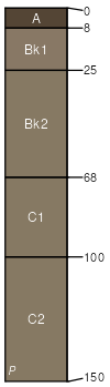
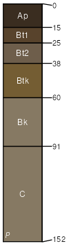
Zahill (45%)
Thin Loamy
Typic Calciustepts
Well drained
Hydric: No
PAWS: 34 cm |
ridges / Summit ridges / Shoulder
|
|
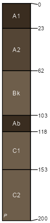
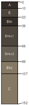
Straw (20%)
Loamy Overflow
Cumulic Haplustolls
Well drained
Hydric: No
PAWS: 36 cm |
|
|
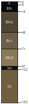
Fluvaquents (10%)
Non-site
Very poorly drained
Hydric: Yes
PAWS: 36 cm |
channels flood plains / Toeslope
|
|
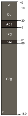
Bowbells (6%)
Loamy Overflow
Pachic Argiustolls
Moderately well drained
Hydric: No
PAWS: 35 cm |
|
|
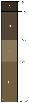
Williams (5%)
Loamy
Typic Argiustolls
Well drained
Hydric: No
PAWS: 34 cm |
|
|
Ranslo (5%)
Claypan
Typic Natraquolls
Somewhat poorly drained
Hydric: No
PAWS: 22 cm |
|
|
Harriet (5%)
Saline Lowland
Typic Natraquolls
Poorly drained
Hydric: Yes
PAWS: 19 cm |
alluvial flats drainageways
|
|
Wabek (4%)
Very Shallow
Entic Haplustolls
Excessively drained
Hydric: No
PAWS: 10 cm |
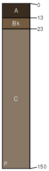
ridges / Summit ridges / Shoulder
|
|