Odark-Booneville loams, 15 to 45 percent slopes
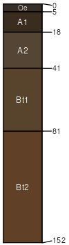
Odark
(50%)
Upland Sagebrush Shrubland Group
Pachic Argicryolls
Well drained
Hydric: No
PAWS: NA
mountain slopes
landslides / Backslope
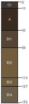
Booneville
(30%)
Upland Sagebrush Shrubland Group
Pachic Argicryolls
Well drained
Hydric: No
PAWS: 16 cm
landslides / Backslope
mountain slopes
Bachus
(10%)
Pachic Argicryolls
Well drained
Hydric: No
PAWS: 9 cm
mountain slopes
landslides / Summit
landslides / Shoulder
landslides / Backslope
Gilispie
(5%)
Lithic Argicryolls
Well drained
Hydric: No
PAWS: 5 cm
mountain slopes
landslides / Summit
Rock outcrop
(5%)
Hydric:
PAWS: NA
SSA
Scale
Published
Export
mt669
1:24,000
2025-09-03