Moderately well drained soils with a lighter colored surface (%)
Hydric:
PAWS: NA |

|
|
Lighter colored surface layer (%)
Hydric:
PAWS: NA |
|
|
|
Till at 60 to 80 inches (%)
Hydric:
PAWS: NA |
|
|
|
Surface layer less than 10 inches thick (%)
Hydric:
PAWS: NA |
|
|
|
Darroch (90%)
Lake Plain Flats
Aquic Argiudolls
Somewhat poorly drained
Hydric: No
PAWS: 37 cm |
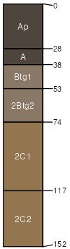
lake plains / Summit rises
|
|
Colwood (8%)
Hydric: Yes
PAWS: NA |
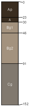
depressions outwash plains
|
|
Rarely flooded areas adjacent to the Blanchard River and its (2%)
Hydric: No
PAWS: NA |
|
|
|