Gerst-Strych-Badland complex, 30 to 70 percent slopes
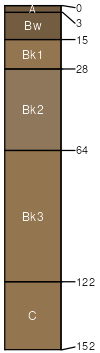
Gerst
(40%)
Semidesert Very Steep Shallow Clay (Utah Juniper)
Ustic Torriorthents
Well drained
Hydric: No
PAWS: 4 cm
hills / Backslope
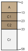
Strych
(25%)
Semidesert Very Steep Loam (Utah Juniper - Pinyon)
Ustic Haplocalcids
Well drained
Hydric: No
PAWS: 10 cm
hillslopes / Footslope
Badland
(20%)
Hydric: No
PAWS: NA
erosion remnants
hills / Backslope
ridges
Rock outcrop
(5%)
Hydric: No
PAWS: NA
cliffs
erosion remnants
escarpments
ledges
Molen
(5%)
Semidesert Loam (Salina wildrye)
Well drained
Hydric: No
PAWS: NA
hills / Backslope
Gerst
(3%)
Semidesert Very Steep Shallow Clay (Utah Juniper)
Well drained
Hydric: No
PAWS: NA
hills / Backslope
Rubble land
(2%)
Hydric: No
PAWS: 0 cm
talus slopes
SSA
Scale
Published
Export
ut623
1:24,000
2011
2025-08-27