Rubble land-Ustic Torriorthents, bouldery, complex, 20 to 60 percent slopes
Rubble land
(50%)
Excessively drained
Hydric: No
PAWS: 8 cm
hills / Footslope
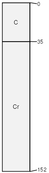
Ustic Torriorthents
(30%)
Shallow Breaks High Plains Southeast (SwBr)
Ustic Torriorthents
Well drained
Hydric: No
PAWS: 3 cm
hills / Backslope
hills / Shoulder
hills / Footslope
Chincap
(10%)
Loamy (Foothills And Mountains Southeast)
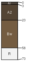
Typic Haplustolls
Well drained
Hydric: No
PAWS: 7 cm
hills / Backslope
Bosler
(5%)
Sandy High Plains Southeast (Sy)
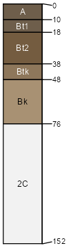
Ustic Calciargids
Well drained
Hydric: No
PAWS: 13 cm
hills / Footslope
Rock outcrop
(5%)
Hydric: No
PAWS: NA
hills / Backslope
hills / Shoulder
SSA
Scale
Published
Export
wy625
1:24,000
1985
2025-09-04