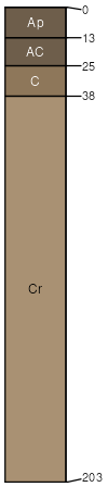
Badland (50%)
Non-site
Excessively drained
Hydric: No
PAWS: 15 cm |

|
|
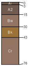
Imlay (30%)
Shallow
Ustic Torriorthents
Well drained
Hydric: No
PAWS: 5 cm |

|
|
Epping (5%)
Shallow
Ustic Torriorthents
Well drained
Hydric: No
PAWS: 9 cm |
hills / Shoulder hills / Backslope
|
|
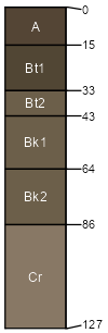
Conata (5%)
Shallow Clay
Ustollic Camborthids
Well drained
Hydric: No
PAWS: 5 cm |
hills / Shoulder hills / Backslope
|
|
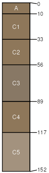
Blackpipe (5%)
Loamy 17-20 PZ
Aridic Argiustolls
Well drained
Hydric: No
PAWS: 14 cm |
plains / Summit plains / Backslope
|
|
Interior (4%)
Badlands Overflow
Ustic Torrifluvents
Well drained
Hydric: No
PAWS: 25 cm |
drainageways / Toeslope alluvial fans / Toeslope
|
|
Herdcamp (1%)
Wet Land
Vertic Endoaquolls
Very poorly drained
Hydric: Yes
PAWS: 22 cm |
|
|