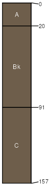
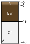
Xeric Torriorthents-Bigbernie association, 30 to 75 percent slopes

Xeric Torriorthents (45%)
Sandy Xeric-Intergrade Slopes
Xeric Torriorthents
Somewhat excessively drained
Hydric: No
PAWS: 6 cm
mountains / Backslope
Bigbernie (25%)
Moderately Deep Gravelly Mountain Slopes
Typic Torriorthents
Somewhat excessively drained
Hydric: No
PAWS: 3 cm
mountains / Backslope
Rock outcrop (8%)


Hydric:
PAWS: NA
mountains / Backslope
Goldenhills (8%)
Hyperthermic Steep North Slopes
Typic Torriorthents
Somewhat excessively drained
Hydric: No
PAWS: 5 cm
mountains / Backslope
Chutes (5%)


Hydric:
PAWS: NA
Pinecity (3%)
Moderately Deep Gravelly Mountain Slopes
Typic Torripsamments
Somewhat excessively drained
Hydric: No
PAWS: 2 cm
mountains / Backslope
Smithcanyon (2%)
Dry Sandy Mountain Slopes
Xeric Torripsamments
Somewhat excessively drained
Hydric: No
PAWS: 2 cm
mountains / Backslope
Pinecity (2%)
Shallow Cool Hills
Typic Torripsamments
Somewhat excessively drained
Hydric: No
PAWS: 2 cm
ridges / Summit
Arizo (2%)
Mid Size Thermic To Hyperthermic Ephemeral Stream
Typic Torriorthents
Excessively drained
Hydric: No
PAWS: 3 cm
drainageways / Footslope
SSAScalePublishedExport
ca6801:24,00019742023-08-30