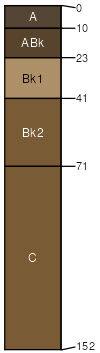
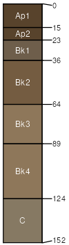
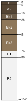
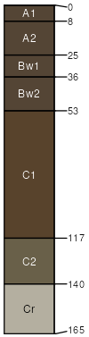
Cedarhill, high precipitation-Hades-Ricrest complex, 20 to 50 percent slopes

Cedarhill (40%)
Steep South Slopes 12-16 PZ ARTRV/PSSPS
Typic Calcixerolls
Well drained
Hydric: No
PAWS: 14 cm
mountain slopes
Hades (25%)
Steep South 16-22 PZ ARTRV/PSSPS
Pachic Argixerolls
Well drained
Hydric: No
PAWS: 20 cm
mountain slopes
Ricrest (20%)
Steep South 16-22 PZ ARTRV/PSSPS
Calcic Pachic Haploxerolls
Well drained
Hydric: No
PAWS: 20 cm
mountain slopes
Manila (5%)
Typic Argixerolls

Hydric:
PAWS: NA
Moonlight (5%)
Pachic Haplocryolls

Hydric:
PAWS: NA
Ririe (1%)
Calcic Haploxerolls

Hydric:
PAWS: NA
Ridgecrest (1%)
Typic Calcixerolls

Hydric:
PAWS: NA
Coalbank (1%)
Vitrandic Haploxerolls

Hydric:
PAWS: NA
Trailcreek (1%)
Humic Vitrixerands

Hydric:
PAWS: NA
Rock outcrop (1%)


Hydric: Unranked
PAWS: NA
SSAScalePublishedExport
id7131:24,0002025-08-27