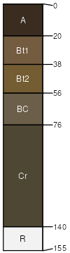
Rock outcrop-Catgulch, bouldery, complex, 15 to 70 percent slopes
Rock outcrop
(60%)
Hydric: Unranked
PAWS: NA
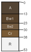
Catgulch
(15%)
Shallow Sagebrush Shrubland Group
Lithic Haplustolls
Well drained
Hydric: No
PAWS: 2 cm
hillsides
ridges
escarpments
Ashbray
(6%)
Lithic Ustorthents
Somewhat excessively drained
Hydric: No
PAWS: 3 cm
ridges
escarpments
hillsides
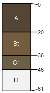
Shaboom
(5%)
Lithic Haplustepts
Well drained
Hydric: No
PAWS: 3 cm
ridges
escarpments
hillsides
Connieo
(4%)
Shallow Shrubland Group
Lithic Argiustolls
Well drained
Hydric: No
PAWS: 5 cm
escarpments
hillsides
ridges
Crampton
(4%)
Typic Argiustolls
Well drained
Hydric: No
PAWS: 6 cm
escarpments
hills
ridges
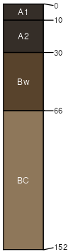
Breeton
(3%)
Upland Shrubland Group
Pachic Haplustolls
Well drained
Hydric: No
PAWS: 17 cm
alluvial fans
hillsides
terraces
Clancy
(3%)
Upland Shrubland Group
Typic Argiustolls
Well drained
Hydric: No
PAWS: 9 cm
hills
ridges
escarpments
SSA
Scale
Published
Export
mt635
1:24,000
2006
2025-08-31