Bennington silt loam, 2 to 6 percent slopes, eroded
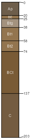
Bennington
(90%)
Wet Till Ridge
Aeric Ochraqualfs
Somewhat poorly drained
Hydric: No
PAWS: 20 cm
ground moraines
flats
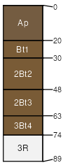
Milton
(5%)
Dry Bedrock Forest
Hydric:
PAWS: NA
till plains
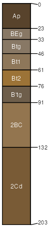
Haskins
(5%)
Wet Till Ridge
Hydric:
PAWS: NA
lake plains / Summit
lake plains / Shoulder
lake plains / Backslope
SSA
Scale
Published
Export
oh147
1:16,000
1978
2025-09-08