McGary silty clay loam, 2 to 6 percent slopes
areas subject to flooding
(%)
Hydric:
PAWS: NA
eroded, better drained, more sloping soils
(%)
Hydric:
PAWS: NA
silt loam surface layer
(%)
Hydric:
PAWS: NA
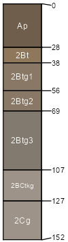
Blount
(%)
Wet Till Ridge
Hydric:
PAWS: NA
ground moraines
flats
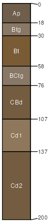
McGary
(95%)
Lacustrine Forest
Aeric Ochraqualfs
Somewhat poorly drained
Hydric: No
PAWS: 24 cm
terraces / Summit
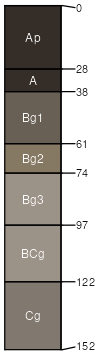
Montgomery
(5%)
Hydric: Yes
PAWS: NA
depressions
SSA
Scale
Published
Export
oh107
1:16,000
1975
2025-09-02