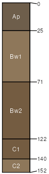
McAdoo silt loam, 0 to 2 percent slopes, frequently flooded, brief duration
McAdoo
(90%)
Alluvium Forest
Fluventic Eutrudepts
Well drained
Hydric: No
PAWS: 31 cm
flood plains / Summit
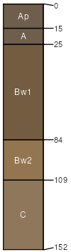
Gessie
(8%)
Hydric: No
PAWS: NA
natural levees
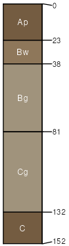
Newark
(2%)
Hydric: No
PAWS: NA
drainageways
SSA
Scale
Published
Export
in119
1:12,000
1997
2025-09-03