Zigzag-Porser-Badland complex, 25 to 70 percent slopes
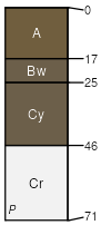
Zigzag
(50%)
Upland Very Steep Shallow Clay Loam (Utah Juniper-Pinyon)
Aridic Ustorthents
Well drained
Hydric: No
PAWS: 5 cm
hills / Backslope
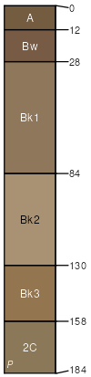
Porser
(20%)
Upland Very Steep Stony Loam (Pinyon-Utah Juniper)
Aridic Calciustepts
Well drained
Hydric: No
PAWS: 14 cm
hills / Backslope
Badland
(15%)
Hydric: No
PAWS: NA
erosion remnants
hills / Backslope
ridges
Bunkin
(5%)
Upland Very Steep Shallow Loam (Pinyon-Utah Juniper)
Well drained
Hydric: No
PAWS: NA
hillslopes / Backslope
Rock outcrop
(5%)
Hydric: No
PAWS: NA
ledges
erosion remnants
escarpments
cliffs
Rubble land
(5%)
Hydric: No
PAWS: 0 cm
talus slopes
SSA
Scale
Published
Export
ut623
1:24,000
2011
2025-08-27