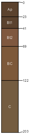
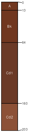
Albion (60%)
Sandy Loam
Udic Argiustolls
Well drained
Hydric: No
PAWS: 15 cm |
|
|
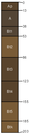
Shellabarger (30%)
Sandy Loam
Udic Argiustolls
Well drained
Hydric: No
PAWS: 22 cm |
|
|
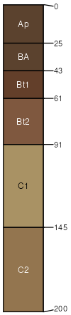
Nalim (3%)
Loamy Plains
Udic Argiustolls
Well drained
Hydric: No
PAWS: 23 cm |
|
|
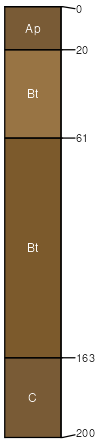
Pratt (3%)
Sand Plains
Lamellic Haplustalfs
Well drained
Hydric: No
PAWS: 19 cm |
|
|
Vernon (2%)
Clayey Plains
Typic Haplustepts
Well drained
Hydric: No
PAWS: 15 cm |
|
|
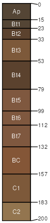
Farnum (1%)
Loamy Plains
Pachic Argiustolls
Well drained
Hydric: No
PAWS: 31 cm |
|
|
Carbika (1%)
Wet Subirrigated
Vertic Argiaquolls
Poorly drained
Hydric: Yes
PAWS: 33 cm |

paleoterraces depressions interdunes
|
|