Arents-Dumps, mine complex, 5 to 80 percent slopes
Arents
(45%)
Somewhat excessively drained
Hydric: No
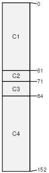
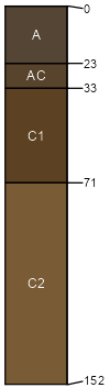
PAWS: 5 cm
mountain slopes / Footslope
mountain slopes / Toeslope
Dumps, mine
(35%)
Hydric: No
PAWS: 3 cm
Rubble land
(10%)
Excessively drained
Hydric: No
PAWS: 8 cm
talus slopes
Lone Rock
(5%)
Mountain Loam
Typic Haplustolls
Somewhat excessively drained
Hydric: No
PAWS: 6 cm
alluvial fans
terraces
Rock outcrop
(5%)
Hydric: No
PAWS: 0 cm
cliffs
mountain slopes / Shoulder
mountain slopes / Backslope
ridges
SSA
Scale
Published
Export
co653
1:24,000
2000
2025-08-29