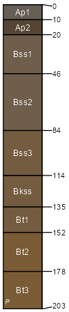
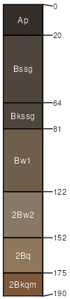
Dodgeland silty clay loam, 0 to 1 percent slopes, frequently flooded
Dodgeland
(80%)
Clayey Basin Group
Xeric Endoaquerts
Poorly drained
Hydric: Yes
PAWS: 35 cm
basin-floor remnants / Toeslope
channels / Toeslope
Farwell
(5%)
Stream Channels and Floodplains
Hydric: No
PAWS: NA
flood-plain steps
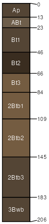
Parrott
(5%)
Stream Channels and Floodplains
Hydric: No
PAWS: NA
flood-plain steps
Vermet
(5%)
Stream Channels and Floodplains
Hydric: Yes
PAWS: NA
flood-plain steps
channels
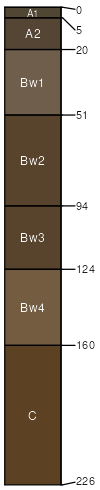
Edjobe
(3%)
Hydric: Yes
PAWS: NA
basin floors / Toeslope
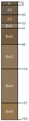
Unnamed
(2%)
Hydric: Yes
PAWS: NA
basin-floor remnants / Toeslope
channels
SSA
Scale
Published
Export
ca612
1:24,000
2005
2025-09-05