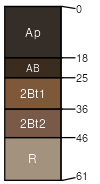
Edmund silt loam, 4 to 12 percent slopes, eroded
Edmund
(85%)
Mollic Clayey Upland
Lithic Argiudolls
Well drained
Hydric: No
PAWS: 13 cm
hills / Summit
hills / Shoulder
hills / Backslope
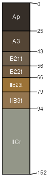
Shullsburg
(15%)
Moist Mollic Loamy-Clayey Lowland
Aquic Argiudolls
Somewhat poorly drained
Hydric: No
PAWS: 12 cm
hillslopes / Summit
SSA
Scale
Published
Export
mn055
1:16,000
1981
2025-09-10