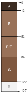
Benlowe-Namon complex, 5 to 14 percent slopes, very stony
Benlowe
(45%)
Shallow Loamy (SwLy) 15-19 Foothills and Mountains East Precipitation Zone
Lithic Haplustalfs
Well drained
Hydric: No
PAWS: 4 cm
dip slopes
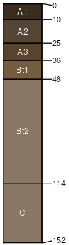
Namon
(35%)
Coarse Upland (CU) 15-19 Foothills and Mountains East Precipitation Zone
Typic Haplustalfs
Well drained
Hydric: No
PAWS: 5 cm
dip slopes
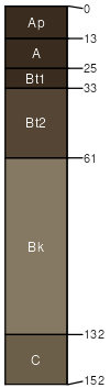
Baxtrum family
(10%)
Loamy (Ly) 15-19 Foothills and Mountains East Precipitation Zone
Typic Argiustolls
Well drained
Hydric: No
PAWS: 28 cm
dip slopes
Grail family
(5%)
Overflow (Ov) 15-19 Foothills and Mountains East Precipitation Zone
Pachic Vertic Argiustolls
Somewhat poorly drained
Hydric: No
PAWS: 22 cm
drainageways
Rock outcrop
(5%)
Hydric: No
PAWS: NA
SSA
Scale
Published
Export
wy630
1:24,000
2025-09-04