Bouldercreek, dry-Kellerbutte complex, 30 to 60 percent slopes
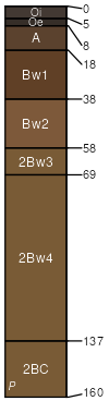
Bouldercreek
(40%)
Dry Ashy Hills and Mountains 30-45 PZ Frigid Clearwater Mountains
Typic Udivitrands
Well drained
Hydric: No
PAWS: 16 cm
mountain slopes
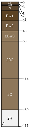
Kellerbutte
(35%)
Ashy Hills and Mountains 24-30 PZ Frigid Western Bitterroot Foothills
Typic Vitrixerands
Well drained
Hydric: No
PAWS: 15 cm
mountain slopes
SSA
Scale
Published
Export
id606
1:24,000
1976
2025-08-27