Vershal-Reedwest complex, 8 to 35 percent slopes
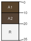
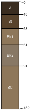
Vershal
(50%)
Shallow Grassland Group
Lithic Haplustolls
Well drained
Hydric: No
PAWS: 2 cm
hills / Summit
hills / Shoulder
knolls
plains
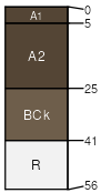
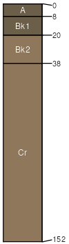
Reedwest
(35%)
Upland Grassland Group
Typic Argiustolls
Well drained
Hydric: No
PAWS: 12 cm
hills / Backslope
plains
swales
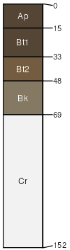
Castner
(3%)
Shallow (Sw) RRU 46-S 13-19 PZ
Lithic Haplustolls
Well drained
Hydric: No
PAWS: 3 cm
hills / Summit
hills / Shoulder
Absarokee
(3%)
Silty Steep (SiStp) RRU 46-C 13-19 PZ
Typic Argiustolls
Well drained
Hydric: No
PAWS: 11 cm
hills / Backslope
Rock outcrop
(3%)
Hydric:
PAWS: NA
hills
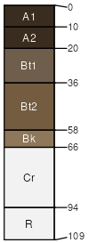
Farnuf
(3%)
Silty (Si) RRU 46-S 13-19 PZ
Typic Argiustolls
Well drained
Hydric: No
PAWS: 25 cm
hills / Toeslope
swales
plains
Cabba
(3%)
Shallow (Sw) RRU 46-S 13-19 PZ
Typic Ustorthents
Well drained
Hydric: No
PAWS: 6 cm
hills / Summit
hills / Backslope
SSA
Scale
Published
Export
mt669
1:24,000
2025-09-03