Branham-Rock outcrop complex, 8 to 45 percent slopes
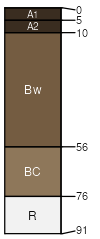
Branham
(70%)
Upland Sagebrush Shrubland Group
Ustic Haplocryolls
Well drained
Hydric: No
PAWS: 5 cm
hills
Rock outcrop
(15%)
Hydric: No
PAWS: NA
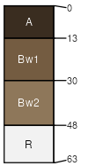
Poin
(10%)
Shallow Sagebrush Shrubland Group
Lithic Haplocryolls
Well drained
Hydric: No
PAWS: 2 cm
hills / Shoulder
hills / Summit
Earcree
(5%)
Upland Grassland Group
Pachic Haplocryolls
Well drained
Hydric: No
PAWS: 18 cm
hills / Footslope
SSA
Scale
Published
Export
mt605
1:24,000
2007
2025-08-29