Till at 40 to 50 inches (%)
Hydric:
PAWS: NA |

|
|
Less clay and more sand in the subsoil (%)
Hydric:
PAWS: NA |
|
|
|
Till below 80 inches (%)
Hydric:
PAWS: NA |
|
|
|
Slopes of 0 to 2 percent (%)
Hydric:
PAWS: NA |
|
|
|
Slopes of 6 to 12 percent (%)
Hydric:
PAWS: NA |
|
|
|
Well drained soils (%)
Hydric:
PAWS: NA |
|
|
|
Sandy loam or fine sandy loam surface layer (%)
Hydric:
PAWS: NA |
|
|
|
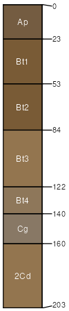
Shawtown (93%)
Lake Plain Flats
Oxyaquic Hapludalfs
Moderately well drained
Hydric: No
PAWS: 22 cm |
lake plains beach ridges / Summit beach ridges / Shoulder beach ridges / Backslope knolls
|
|
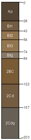
Aurand (2%)
Hydric:
PAWS: NA |
|
|
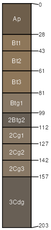
Rarely flooded areas adjacent to the Blanchard River and its (2%)
Hydric: No
PAWS: NA |
|
|
|
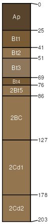
Lamberjack (2%)
Hydric: No
PAWS: NA |
|
|
Houcktown (1%)
Hydric:
PAWS: NA |
ground moraines / Shoulder ground moraines / Summit ground moraines / Backslope
|
|