Caperidge-Taylorpeak-Northbear complex, 50 to 75 percent slopes
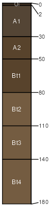
Caperidge
(45%)
Dry, steep mountain slopes
Typic Humustepts
Well drained
Hydric: No
PAWS: 13 cm
mountain slopes / Backslope
ridges / Shoulder
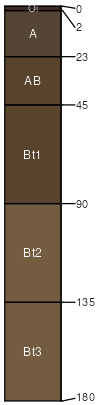
Northbear
(20%)
Dry, steep mountain slopes
Typic Humustepts
Well drained
Hydric: No
PAWS: 21 cm
mountain slopes / Backslope
Taylorpeak
(20%)
Dry, steep mountain slopes
Typic Humustepts
Well drained
Hydric: No
PAWS: 10 cm
mountain slopes / Summit
mountain slopes / Shoulder
ridges / Shoulder
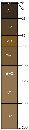
Dolason
(5%)
Dry, steep mountain slopes
Pachic Humixerepts
Well drained
Hydric: No
PAWS: 26 cm
mountain slopes / Backslope
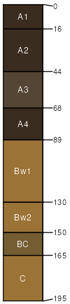
Canoecreek
(5%)
Dry, steep mountain slopes
Andic Haplustepts
Well drained
Hydric: No
PAWS: 13 cm
mountain slopes / Shoulder
Caperidge
(4%)
Dry, steep mountain slopes
Typic Humustepts
Well drained
Hydric: No
PAWS: 11 cm
mountain slopes / Backslope
Rock outcrop
(1%)
Hydric: No
PAWS: NA
mountain slopes / Backslope
SSA
Scale
Published
Export
ca601
1:24,000
2011
2025-09-03