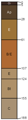
Henlopen-Rosedale complex, 0 to 2 percent slopes
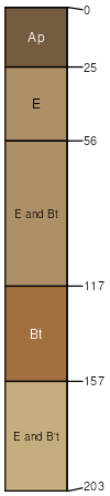
Henlopen
(50%)
Sandy, Excessively Drained Upland
Lamellic Paleudults
Somewhat excessively drained
Hydric: No
PAWS: 19 cm
dunes
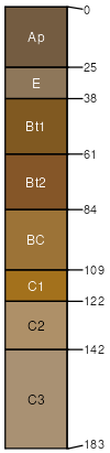
Rosedale
(40%)
Well Drained Coarse-Loamy Upland
Arenic Hapludults
Well drained
Hydric: No
PAWS: 21 cm
flats
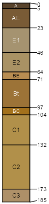
Fort Mott
(5%)
Well Drained Coarse-Loamy Upland
Hydric:
PAWS: NA
Ingleside
(3%)
Well Drained Coarse-Loamy Upland
Hydric:
PAWS: NA
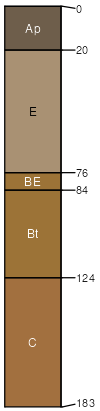
Runclint
(2%)
Sandy, Excessively Drained Upland
Hydric:
PAWS: NA
SSA
Scale
Published
Export
de001
1:24,000
2006
2025-09-09