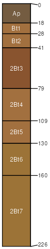
Knobcreek-Haggatt-Caneyville complex, 6 to 12 percent slopes, severely eroded
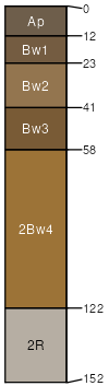
Knobcreek
(33%)
Loess Veneered Uplands
Deep Well Drained Limestone Uplands
Typic Paleudalfs
Well drained
Hydric: No
PAWS: 25 cm
hills / Shoulder
hills / Backslope
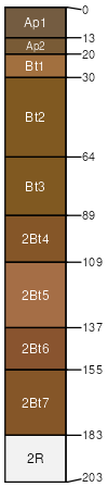
Haggatt
(26%)
Loess Veneered Uplands
Deep Well Drained Limestone Uplands
Typic Hapludalfs
Well drained
Hydric: No
PAWS: 15 cm
hills / Shoulder
hills / Backslope
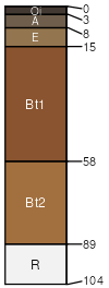
Caneyville
(24%)
Moderately Deep Well Drained Uplands
Deep Well Drained Limestone Uplands
Typic Hapludalfs
Well drained
Hydric: No
PAWS: 12 cm
hills / Shoulder
hills / Backslope
Navilleton
(10%)
Typic Paleudalfs
Well drained
Hydric: No
PAWS: 28 cm
hills / Shoulder
hills / Backslope
Crider
(5%)
Typic Paleudalfs
Well drained
Hydric: No
PAWS: 32 cm
hills / Shoulder
hills / Summit
Kintner
(2%)
Oxyaquic Eutrudepts
Moderately well drained
Hydric: No
PAWS: 16 cm
flood-plain steps / Toeslope
flood plains
SSA
Scale
Published
Export
in061
1:12,000
2007
2025-09-04