Branham-Tuggle complex, 2 to 15 percent slopes
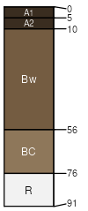
Branham
(50%)
Shallow Sagebrush Shrubland Group
Ustic Haplocryolls
Well drained
Hydric: No
PAWS: 5 cm
ridges
mountain slopes
Tuggle
(35%)
Shallow Sagebrush Shrubland Group
Lithic Haplocryolls
Well drained
Hydric: No
PAWS: 4 cm
mountain slopes
ridges
escarpments
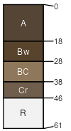
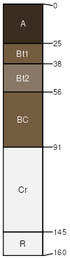
Opitz
(5%)
Upland Grassland Group
Ustic Argicryolls
Well drained
Hydric: No
PAWS: 9 cm
plateaus
ridges
mountain slopes
Clugulch
(4%)
Lithic Eutrocryepts
Well drained
Hydric: No
PAWS: 2 cm
ridges
mountainsides
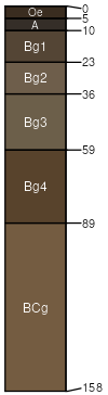
Lowder
(3%)
Typic Cryaquepts
Very poorly drained
Hydric: Yes
PAWS: 13 cm
flood-plain steps
drainageways
alluvial fans
flood plains
Branham
(3%)
Pachic Haplocryolls
Well drained
Hydric: No
PAWS: 9 cm
ridges
mountain slopes
SSA
Scale
Published
Export
mt627
1:24,000
1998
2025-08-31