Blackhall-Rock outcrop complex, 15 to 45 percent slopes
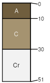
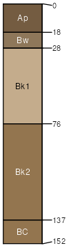
Blackhall
(65%)
Shallow Sagebrush Shrubland Group
Ustic Torriorthents
Well drained
Hydric: No
PAWS: 6 cm
plains
hills
Rock outcrop
(20%)
Hydric: No
PAWS: NA
Slopes less than 15 percent
(8%)
Upland Sagebrush Shrubland Group
Udic Argiborolls
Well drained
Hydric: No
PAWS: 29 cm
Kalsted
(7%)
Sandy (Sy) 10-14 PZ Frigid
Aridic Calciustepts
Well drained
Hydric: No
PAWS: 16 cm
hills / Footslope
drainageways
SSA
Scale
Published
Export
mt636
1:24,000
1983
2025-08-31