Official Series Description


Lab Data Summary

Aggregate lab data for the WALLACE soil series. This aggregation is based on all pedons with a current taxon name of WALLACE, and applied along 1-cm thick depth slices. Solid lines are the slice-wise median, bounded on either side by the interval defined by the slice-wise 5th and 95th percentiles. The median is the value that splits the data in half. Five percent of the data are less than the 5th percentile, and five percent of the data are greater than the 95th percentile. Values along the right hand side y-axis describe the proportion of pedon data that contribute to aggregate values at this depth. For example, a value of "90%" at 25cm means that 90% of the pedons correlated to WALLACE were used in the calculation. Source: KSSL snapshot . Methods used to assemble the KSSL snapshot used by SoilWeb / SDE

Click the image to view it full size.

Pedons used in the lab summary:

MLRALab IDPedon IDTaxonnameCINSSL / NASIS ReportsLink To SoilWeb GMap
14240A0302S1958NY089001Wallace3Primary | Supplementary | Taxonomy | Pedon | Water Retention | Correlation | Andic Soil Properties44.8880539,-74.6966629
14240A1297S1976NY089001Wallace7Primary | Supplementary | Taxonomy | Pedon | Water Retention | Correlation | Andic Soil Properties44.8686104,-74.7825012

Water Balance

Monthly water balance estimated using a leaky-bucket style model for the WALLACE soil series. Monthly precipitation (PPT) and potential evapotranspiration (PET) have been estimated from the 50th percentile of gridded values (PRISM 1981-2010) overlapping with the extent of SSURGO map units containing each series as a major component. Monthly PET values were estimated using the method of Thornthwaite (1948). These (and other) climatic parameters are calculated with each SSURGO refresh and provided by the fetchOSD function of the soilDB package. Representative water storage values (“AWC” in the figures) were derived from SSURGO by taking the 50th percentile of profile-total water storage (sum[awc_r * horizon thickness]) for each soil series. Note that this representation of “water storage” is based on the average ability of most plants to extract soil water between 15 bar (“permanent wilting point”) and 1/3 bar (“field capacity”) matric potential. Soil moisture state can be roughly interpreted as “dry” when storage is depleted, “moist” when storage is between 0mm and AWC, and “wet” when there is a surplus. Clearly there are a lot of assumptions baked into this kind of monthly water balance. This is still a work in progress.

Click the image to view it full size.


Click the image to view it full size.

Sibling Summary

Siblings are those soil series that occur together in map units, in this case with the WALLACE series. Sketches are arranged according to their subgroup-level taxonomic structure. Source: SSURGO snapshot , parsed OSD records and snapshot of SC database .

Click the image to view it full size.

Select annual climate data summaries for the WALLACE series and siblings. Series are sorted according to hierarchical clustering of median values. Source: SSURGO map unit geometry and 1981-2010, 800m PRISM data .

Click the image to view it full size.

Geomorphic description summaries for the WALLACE series and siblings. Series are sorted according to hierarchical clustering of proportions and relative hydrologic position within an idealized landform (e.g. top to bottom). Most soil series (SSURGO components) are associated with a hillslope position and one or more landform-specific positions: hills, mountain slopes, terraces, and/or flats. Proportions can be interpreted as an aggregate representation of geomorphic membership. The values printed to the left (number of component records) and right (Shannon entropy) of stacked bars can be used to judge the reliability of trends. Small Shannon entropy values suggest relatively consistent geomorphic association, while larger values suggest lack thereof. Source: SSURGO component records .

Click the image to view it full size.

Click the image to view it full size.

Click the image to view it full size.

Click the image to view it full size.

Click the image to view it full size.

Competing Series

Soil series competing with WALLACE share the same family level classification in Soil Taxonomy. Source: parsed OSD records and snapshot of the SC database .

Click the image to view it full size.

Select annual climate data summaries for the WALLACE series and competing. Series are sorted according to hierarchical clustering of median values. Source: SSURGO map unit geometry and 1981-2010, 800m PRISM data .

Click the image to view it full size.

Geomorphic description summaries for the WALLACE series and competing. Series are sorted according to hierarchical clustering of proportions and relative hydrologic position within an idealized landform (e.g. top to bottom). Proportions can be interpreted as an aggregate representation of geomorphic membership. Most soil series (SSURGO components) are associated with a hillslope position and one or more landform-specific positions: hills, mountain slopes, terraces, and/or flats. The values printed to the left (number of component records) and right (Shannon entropy) of stacked bars can be used to judge the reliability of trends. Shannon entropy values close to 0 represent soil series with relatively consistent geomorphic association, while values close to 1 suggest lack thereof. Source: SSURGO component records .

Click the image to view it full size.

There are insufficient data to create the 3D hills figure.

There are insufficient data to create the 3D mountains figure.

There are insufficient data to create the 3D terrace figure.

Click the image to view it full size.

Soil series sharing subgroup-level classification with WALLACE, arranged according to family differentiae. Hovering over a series name will print full classification and a small sketch from the OSD. Source: snapshot of SC database .

Block Diagrams

Click a link below to display the diagram. Note that these diagrams may be from multiple survey areas.

  1. MI-2010-09-07-10 | Mackinac County - 1997

    Typical pattern of soils and parent material in the Wallace-Spot association (Soil Survey of Mackinac County, Michigan; 1997).

  2. MI-2010-09-10-06 | Keweenaw County Area - 2006

    Typical pattern of soils and parent material in the Deer Park-Rubicon-Croswell association (Soil Survey of Keweenaw County Area, Michigan; 2006).

  3. MI-2012-02-06-37 | Mackinac County - 1997

    Typical pattern of soils and parent material in the Wallace-Spot association (Soil Survey of Mackinac County, Michigan; 1997).

Map Units

Map units containing WALLACE as a major component. Limited to 250 records.

Map Unit Name Symbol Map Unit Area (ac) Map Unit Key National Map Unit Symbol Soil Survey Area Publication Date Map Scale
Wallace sand, 1 to 15 percent slopes255D23614554051kvgkmi00320071:24000
Wallace sand, 0 to 12 percent slopesWaC8451905166d7pmi02919701:15840
Wallace sand, 6 to 18 percent slopes17D11101905376d8cmi03119881:15840
Wallace sand, 0 to 6 percent slopes17B3121905366d8bmi03119881:15840
Wallace sand, 18 to 30 percent slopes17E381905386d8dmi03119881:15840
Wallace sand, 6 to 18 percent slopesWlD117915881271q9kxmi04119691:24000
Wallace sand, 0 to 6 percent slopesWlB75115881261q9kwmi04119691:24000
Wallace sand, 2 to 12 percent slopesWlC1961893796c20mi04719681:20000
Wallace-Kalkaska sands, 2 to 12 percent slopesWkC9531908546dllmi08919671:20000
Wallace sand, 0 to 6 percent slopes179B15011631334p5ymmi09520041:24000
Wallace sand, 6 to 15 percent slopes179D8557631335p5ynmi09520041:24000
Wallace sand, 15 to 35 percent slopes179E8422631336p5ypmi09520041:24000
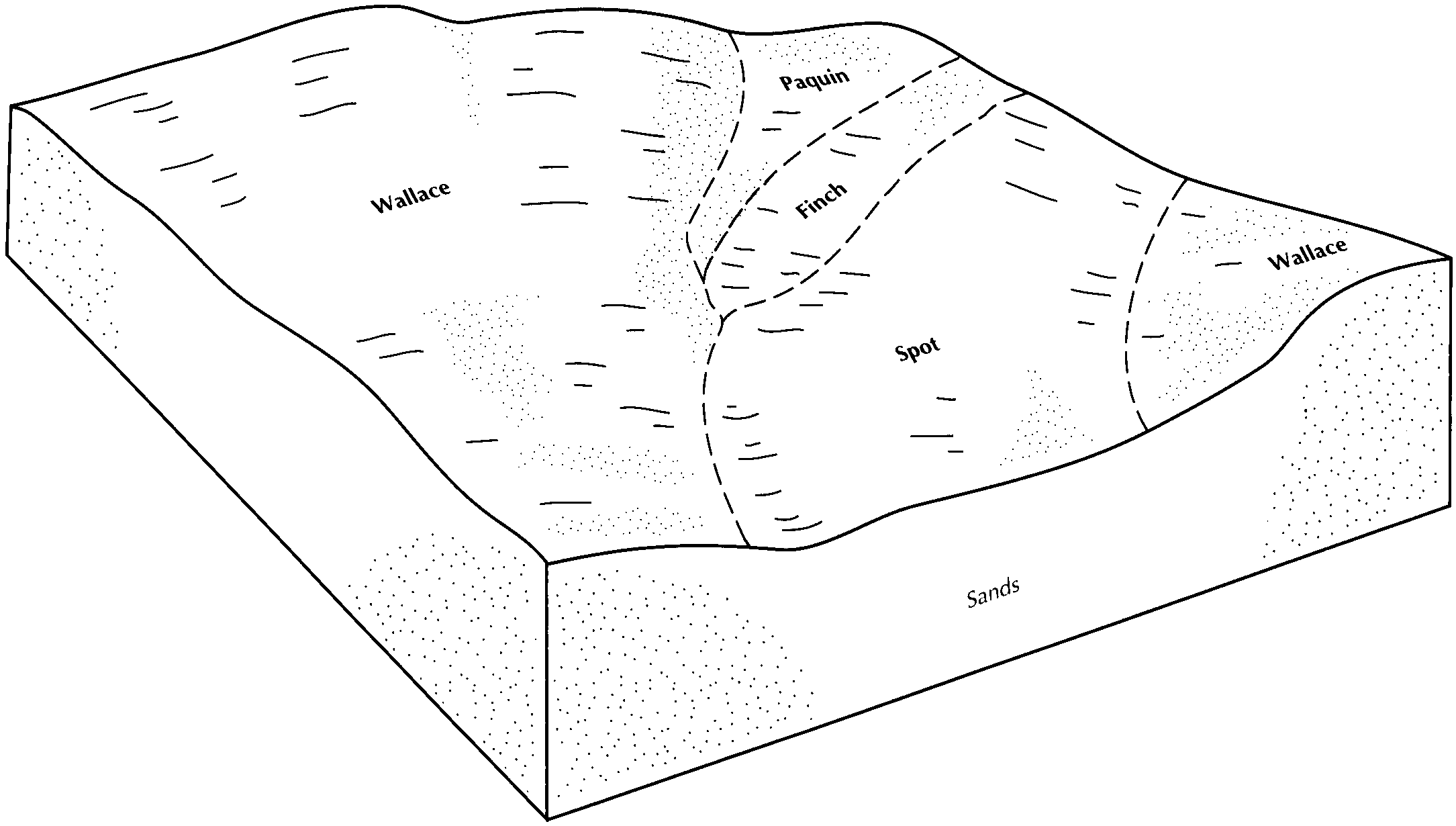
Wallace-Spot complex, 0 to 35 percent slopes175E6324631321p5y6mi09520041:24000
Wallace-Spot complex, 0 to 15 percent slopes175D5351631320p5y5mi09520041:24000
Wallace sand, 35 to 60 percent slopes179F1523631337p5yqmi09520041:24000
Frohling-Wallace complex, 15 to 35 percent slopes211E278627471p1y0mi09520041:24000
Wallace-Alcona complex, 0 to 6 percent slopes215B270631277p5wsmi09520041:24000
Wallace-Alcona complex, 6 to 15 percent slopes215D193631279p5wvmi09520041:24000
Frohling-Wallace complex, 6 to 15 percent slopes211D192789450vhh4mi09520041:24000
Battydoe, stony-Wallace complex, 6 to 15 percent slopes167D17631317p5y2mi09520041:24000
Wallace sand, 0 to 6 percent slopes179B35848416357fz7wmi09719941:20000
Wallace sand, 6 to 15 percent slopes179D6725416358fz7xmi09719941:20000
Wallace-Spot complex, 0 to 15 percent slopes175D3337416352fz7qmi09719941:20000
Wallace-Alcona complex, 0 to 6 percent slopes84B1966416426fzb3mi09719941:20000
Wallace sand, 35 to 60 percent slopes179F1787416360fz7zmi09719941:20000
Wallace sand, 15 to 35 percent slopes179E1688416359fz7ymi09719941:20000
Battydoe, stony-Wallace complex, 0 to 6 percent slopes167B1319416339fz79mi09719941:20000
Wallace-Alcona complex, 35 to 60 percent slopes84F900416428fzb5mi09719941:20000
Wallace-Alcona complex, 6 to 15 percent slopes84D842416427fzb4mi09719941:20000
Battydoe, stony-Wallace complex, 6 to 15 percent slopes167D591416340fz7bmi09719941:20000
Battydoe, stony-Wallace complex, 15 to 35 percent slopes167E471416341fz7cmi09719941:20000
Wallace fine sand, 3 to 15 percent slopes52C4301925676gcvmi10519921:15840
Kalkaska-Wallace sands, 2 to 6 percent slopesKaB59818735168ylmi12119661:15840
Wallace sand, 0 to 6 percent slopesWaB3431902286cydmi13319661:15840
Wallace sand, 6 to 18 percent slopesWaD1971902296cyfmi13319661:15840
Wallace sand, 2 to 15 percent slopes66C3421909306dp1mi14119891:15840
Kalkaska and Wallace fine sands, 2 to 8 percent slopes, slightly erodedKaB138118830169y7mi15119551:15840
Kalkaska and Wallace fine sands, 0 to 2 percent slopes, slightly erodedKaA111918830069y6mi15119551:15840
Kalkaska and Wallace fine sands, 8 to 18 percent slopes, slightly erodedKaC17218830269y8mi15119551:15840
Wallace sand, 15 to 35 percent slopes289E147614570131kx4fmi15320071:24000
Wallace sand, 0 to 6 percent slopes289B84016502311sd68mi15320071:24000
Wallace sand, 6 to 15 percent slopes289D61314569231kx1jmi15320071:24000
Wallace-Rubicon complex, 12 to 50 percent slopes142F770435383gm1mmi60520041:24000
Wallace-Rubicon complex, 1 to 12 percent slopes142C413435365gm11mi60520041:24000
Wallace fine sand, 3 to 8 percent slopesWsB4392902559r12ny01919951:24000
Wallace fine sand, 25 to 35 percent slopesWsE3692902579r14ny01919951:24000
Wallace fine sand, 8 to 15 percent slopesWsC2102902569r13ny01919951:24000
Adams and Wallace loamy sands 3 to 8 percent slopesAab29972677494bmblny03320181:24000
Adams and Wallace loamy sands 0 to 3 percent slopesAaa17882677457bmbkny03320181:24000
Adams and Wallace loamy sands, 12 to 25 percent slopesAad5452677533bmbmny03320181:24000

Map of Series Extent

Approximate geographic distribution of the WALLACE soil series. To learn more about how this distribution was mapped, or to compare this soil series extent to others, use the Series Extent Explorer (SEE) application. Source: generalization of SSURGO geometry .