| Steinsburg-Latham association, steep | SNF | 2522 | 550258 | lgl8 | ky043 | 1980 | 1:20000 |
Gilpin-Steinsburg-Blairton complex, 12 to 25 percent slopes | GtD | 10638 | 1884684 | 21858 | ky063 | 2007 | 1:12000 |
Steinsburg-Ramsey loams, 20 to 30 percent slopes | SnE | 5739 | 549290 | 2wh57 | ky107 | 1974 | 1:12000 |
Ramsey-Steinsburg-Rock outcrop complex, 30 to 50 percent slopes | RsF | 959 | 549287 | lfky | ky107 | 1974 | 1:12000 |
Latham-Steinsburg complex, 12 to 20 percent slopes | LmD | 28113 | 550401 | lgqw | ky605 | 1975 | 1:20000 |
Steinsburg stony sandy loam, 20 to 50 percent slopes | ShF | 5012 | 550423 | lgrl | ky605 | 1975 | 1:20000 |
Latham-Steinsburg complex, 6 to 12 percent slopes | LmC | 3523 | 550400 | lgqv | ky605 | 1975 | 1:20000 |
Ramsey-Steinsburg-Allegheny complex, 20 to 40 percent slopes | RaE | 14875 | 551062 | lhf6 | ky621 | 1975 | 1:20000 |
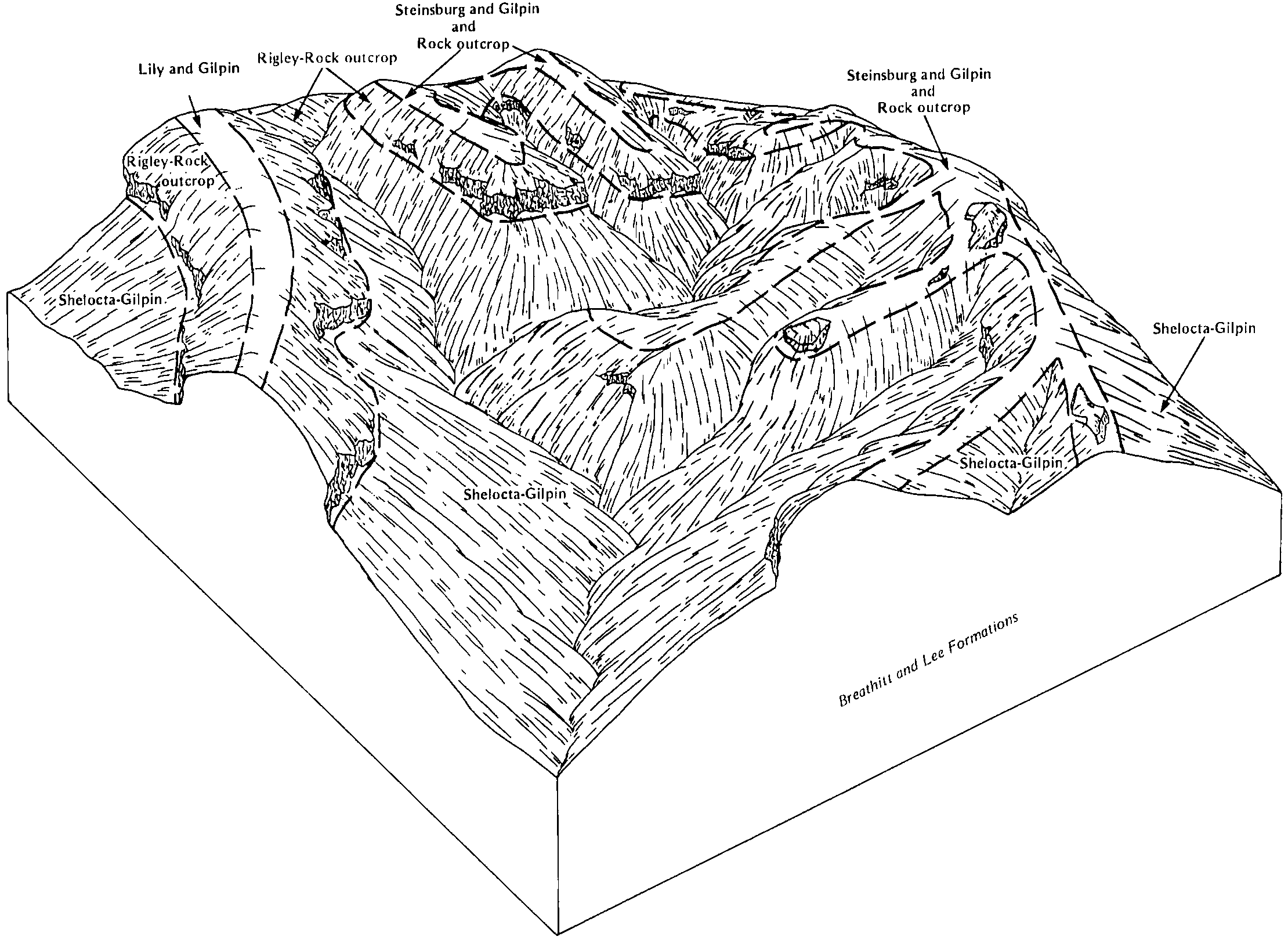
Steinsburg and Gilpin soils and rock outcrop, steep | SrF | 36778 | 550718 | lh23 | ky623 | 1985 | 1:20000 |
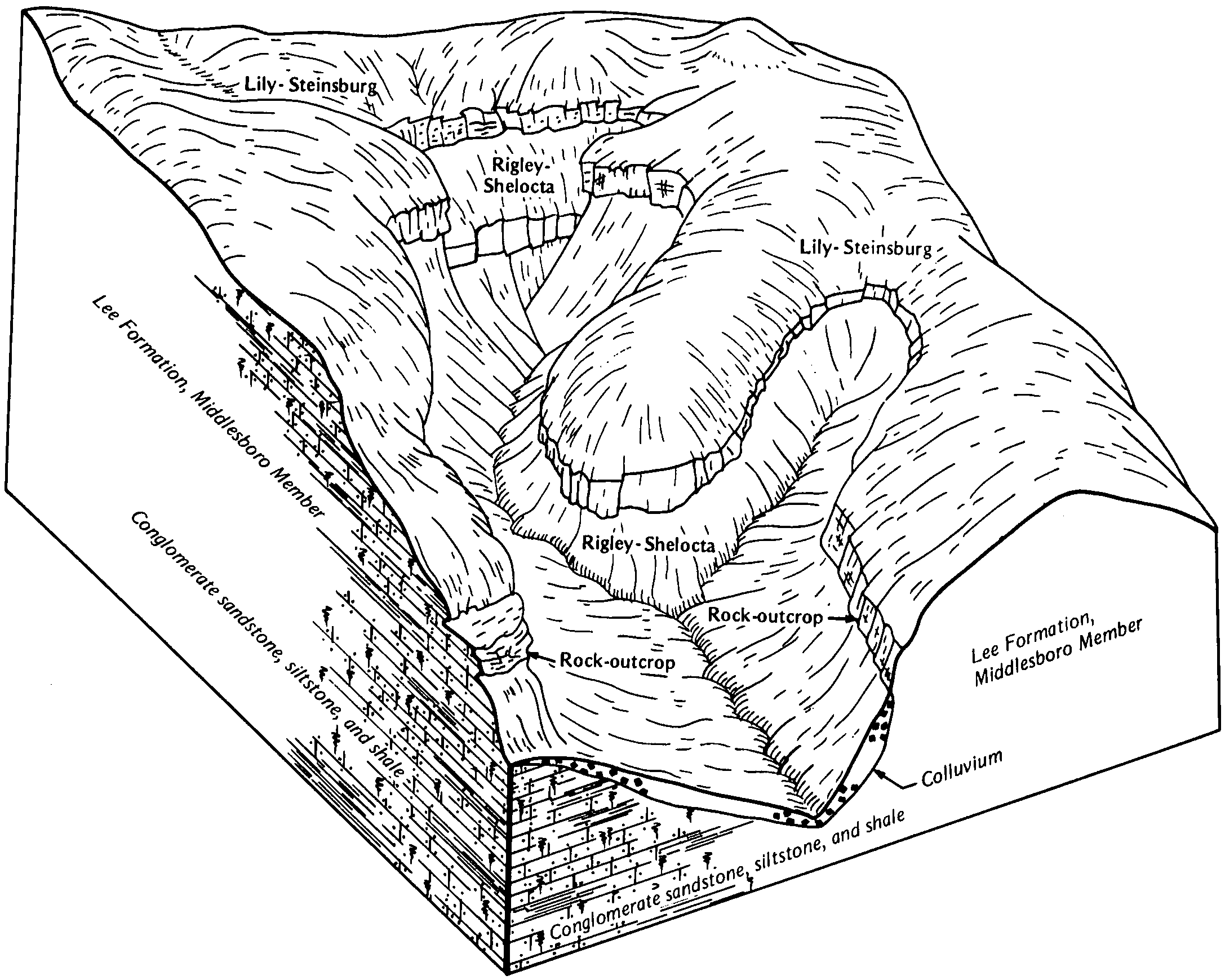
Lily-Steinsburg fine sandy loams, 12 to 30 percent slopes | LSD | 1128 | 552220 | ljmk | ky627 | 1984 | 1:20000 |
Steinsburg-Shelocta-Rock outcrop complex, 35 to 80 percent slopes | SSF | 745 | 552231 | ljmx | ky627 | 1984 | 1:20000 |
Lily and Steinsburg fine sandy loams, 20 to 30 percent slopes | LtE | 9164 | 552279 | ljpg | ky628 | 1973 | 1:20000 |
Steinsburg rocky sandy loam, 20 to 50 percent slopes | SlF | 8150 | 552300 | ljq4 | ky628 | 1973 | 1:20000 |
Steinsburg rocky sandy loam, 12 to 20 percent slopes | SlD | 1533 | 552299 | ljq3 | ky628 | 1973 | 1:20000 |
Steinsburg sandy loam, 6 to 12 percent slopes | SkC | 992 | 552298 | ljq2 | ky628 | 1973 | 1:20000 |
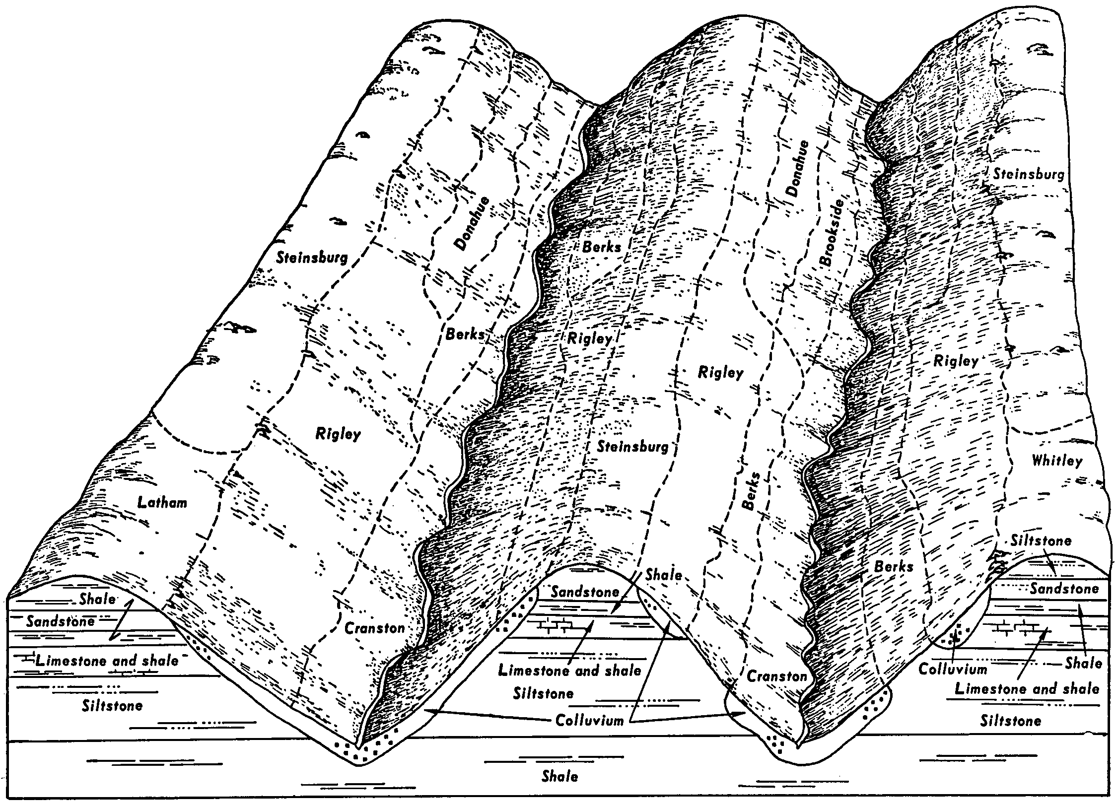
Steinsburg-Frondorf complex, 20 to 50 percent slopes | SnE | 5631 | 549531 | lftt | ky635 | 1978 | 1:20000 |
Steinsburg-Ramsey rocky sandy loams, 20 to 40 percent slopes | SrF | 11130 | 1478825 | 1lmv1 | ky645 | 1971 | 1:20000 |
Steinsburg-Ramsey rocky sandy loams, 6 to 20 percent slopes | SrD | 940 | 1478824 | 1lmv0 | ky645 | 1971 | 1:20000 |
Steinsburg channery loam, 3 to 8 percent slopes | StB | 596 | 2496045 | 2pv61 | md013 | 2010 | 1:12000 |
Steinsburg channery loam, 8 to 15 slopes | StC | 97 | 2496046 | 2pv62 | md013 | 2010 | 1:12000 |
Steinsburg channery loam, 15 to 25 percent slopes | StD | 3 | 2496047 | 2pv63 | md013 | 2010 | 1:12000 |
Steinsburg sandy loam, 40 to 70 percent slopes | StF | 10670 | 537388 | l163 | oh009 | 1981 | 1:15840 |
Steinsburg sandy loam, 25 to 40 percent slopes | StE | 1770 | 537387 | l162 | oh009 | 1981 | 1:15840 |
Steinsburg sandy loam, 15 to 25 percent slopes | StD | 1150 | 537386 | l161 | oh009 | 1981 | 1:15840 |
Steinsburg-Gilpin association, very steep | SvF | 1031 | 1008314 | 12v78 | oh009 | 1981 | 1:15840 |
Upshur-Steinsburg complex, 15 to 25 percent slopes | UvD | 5 | 1008384 | 12v9j | oh009 | 1981 | 1:15840 |
Loudonville-Steinsburg complex, 20 to 35 percent slopes | LtE | 1206 | 172277 | 5s8b | oh045 | 1998 | 1:12000 |
Loudonville-Steinsburg complex, 12 to 20 percent slopes, eroded | LtD2 | 896 | 172276 | 5s89 | oh045 | 1998 | 1:12000 |
Loudonville-Steinsburg complex, 35 to 70 percent slopes | LtF | 171 | 172278 | 5s8c | oh045 | 1998 | 1:12000 |
Loudonville-Steinsburg complex, 6 to 12 percent slopes, eroded | LtC2 | 166 | 172275 | 5s88 | oh045 | 1998 | 1:12000 |
Gilpin-Upshur-Steinsburg association, steep | GUSZE1 | 44000 | 2450427 | 2n7w1 | oh053 | 1988 | 1:15840 |
Rarden-Steinsburg association, steep | RrSZE1 | 18300 | 2450453 | 2n7ww | oh053 | 1988 | 1:15840 |
Steinsburg-Clymer association, steep | ScE | 10366 | 536841 | l0mg | oh053 | 1988 | 1:15840 |
Latham-Steinsburg association, steep | LaSZE1 | 1894 | 2450431 | 2n7w5 | oh053 | 1988 | 1:15840 |
Steinsburg-Rock outcrop association, very steep | SrF | 1398 | 536842 | l0mh | oh053 | 1988 | 1:15840 |
Steinsburg-Gilpin association, steep | SgE | 1266 | 1460337 | 1l0ln | oh053 | 1988 | 1:15840 |
Steinsburg-Gilpin association, very steep | SgF | 5 | 1460338 | 1l0lp | oh053 | 1988 | 1:15840 |
Rarden-Steinsburg association, steep | RrSZE1 | 727 | 2451048 | 2n8j2 | oh079 | 1981 | 1:15840 |
Steinsburg-Clymer association, steep | SrE | 470 | 1460515 | 1l0sd | oh079 | 1981 | 1:15840 |
Shelocta-Steinsburg association, very steep | SeF | 368 | 1460540 | 1l0t6 | oh079 | 1981 | 1:15840 |
Latham-Steinsburg association, steep | LaSZE1 | 362 | 2451047 | 2n8j1 | oh079 | 1981 | 1:15840 |
Latham-Steinsburg complex, 15 to 25 percent slopes | LaSXD1 | 76 | 2451066 | 2n8jn | oh079 | 1981 | 1:15840 |
Steinsburg-Rigley variant fine sandy loams, 15 to 25 percent slopes | StD | 4874 | 536114 | kzw0 | oh081 | 1987 | 1:15840 |
Steinsburg-Rigley variant fine sandy loams, 8 to 15 percent slopes | StC | 4163 | 536113 | kzvz | oh081 | 1987 | 1:15840 |
Urban land-Steinsburg complex, 3 to 8 percent slopes | UwB | 375 | 536126 | kzwd | oh081 | 1987 | 1:15840 |
Steinsburg-Rigley variant fine sandy loams, 3 to 8 percent slopes | StB | 222 | 536112 | kzvy | oh081 | 1987 | 1:15840 |
Steinsburg-Shelocta association, very steep | SsF | 63100 | 536184 | kzy8 | oh087 | 1989 | 1:15840 |
Gilpin-Upshur-Steinsburg association, steep | GUSZE1 | 33520 | 2451098 | 2n8kp | oh087 | 1989 | 1:15840 |
Latham-Steinsburg complex, 15 to 25 percent slopes | LaSXD1 | 3151 | 2451102 | 2n8kt | oh087 | 1989 | 1:15840 |
Steinsburg-Clymer association, steep | SfE | 2456 | 536183 | kzy7 | oh087 | 1989 | 1:15840 |
Upshur-Steinsburg complex, 25 to 50 percent slopes | UsE | 6119 | 537205 | l106 | oh105 | 1991 | 1:15840 |
Upshur-Steinsburg complex, 15 to 25 percent slopes | UsD | 1654 | 537204 | l105 | oh105 | 1991 | 1:15840 |
Steinsburg fine sandy loam, 40 to 70 percent slopes | StF | 899 | 537197 | l0zy | oh105 | 1991 | 1:15840 |
Steinsburg sandy loam, 40 to 70 percent slopes | SsF | 7 | 1527418 | 1n8dk | oh105 | 1991 | 1:15840 |
Steinsburg sandy loam, 25 to 40 percent slopes | SsE | 4 | 1527417 | 1n8dj | oh105 | 1991 | 1:15840 |
Steinsburg loam, 25 to 70 percent slopes | StF | 313 | 537464 | l18k | oh115 | 1992 | 1:15840 |
Shelocta-Steinsburg association, very steep | SeF | 12526 | 537313 | l13p | oh145 | 1984 | 1:15840 |
Steinsburg-Shelocta association, very steep | SsF | 3681 | 1460814 | 1l131 | oh145 | 1984 | 1:15840 |
Latham-Steinsburg association, hilly | LaSZD1 | 1379 | 2452666 | 2nb68 | oh145 | 1984 | 1:15840 |
Latham-Steinsburg complex, 15 to 25 percent slopes | LaSXD1 | 221 | 2452674 | 2nb6j | oh145 | 1984 | 1:15840 |
Steinsburg-Gilpin association, very steep | StF | 27424 | 536430 | l066 | oh163 | 1998 | 1:15840 |
Steinsburg-Gilpin association, steep | StE | 8005 | 536429 | l065 | oh163 | 1998 | 1:15840 |
Steinsburg-Clymer association, steep | SvE | 72 | 1481845 | 1lqzg | oh163 | 1998 | 1:15840 |
Steinsburg sandy loam, 25 to 40 percent slopes | SsE | 15 | 1481854 | 1lqzr | oh163 | 1998 | 1:15840 |
Steinsburg channery sandy loam, 3 to 8 percent slopes | StB | 443 | 545651 | l9sn | pa001 | 1991 | 1:24000 |
Steinsburg channery sandy loam, 8 to 15 percent slopes | StC | 192 | 545652 | l9sp | pa001 | 1991 | 1:24000 |
Steinsburg channery sandy loam, 15 to 25 percent slopes | StD | 99 | 545653 | l9sq | pa001 | 1991 | 1:24000 |
Steinsburg gravelly loam, 8 to 15 percent slopes | StC | 996 | 543720 | l7sc | pa017 | 1997 | 1:24000 |
Steinsburg gravelly loam, 3 to 8 percent slopes | StB | 858 | 543719 | l7sb | pa017 | 1997 | 1:24000 |
Steinsburg gravelly loam, 15 to 25 percent slopes | StD | 272 | 543721 | l7sd | pa017 | 1997 | 1:24000 |
Steinsburg channery sandy loam, 15 to 25 percent slopes | StD | 1997 | 542953 | l6zm | pa133 | 1990 | 1:24000 |
Steinsburg channery sandy loam, 8 to 15 percent slopes | StC | 113 | 542952 | l6zl | pa133 | 1990 | 1:24000 |
Steinsburg fine sandy loam, eroded hilly phase | Sc | 1239 | 120290 | 415b | va147 | 1950 | 1:20000 |
Steinsburg fine sandy loam, eroded rolling phase | Sd | 298 | 120291 | 415c | va147 | 1950 | 1:20000 |


