| Frisco, sandstone substratum-Howlett, moist-Scout, moist families complex, 5 to 40 percent slopes | 7501B | 39152 | 762988 | tlyj | co645 | | 1:24000 |
Scout, moist-Frisco familes complex, 40 to 75 percent slopes | 7502C | 19344 | 762989 | tlyk | co645 | | 1:24000 |
Scout family-Haplocryolls complex, sandstone substratum, 40 to 75 percent slopes | 4501C | 10551 | 762971 | tlxz | co645 | | 1:24000 |
Scout cobbly sandy loam, 6 to 15 percent slopes | 75 | 43 | 3177086 | jq3d | co645 | | 1:24000 |
Scout cobbly sandy loam, 15 to 65 percent slopes | 76 | 16348 | 497904 | jq3f | co649 | 1977 | 1:24000 |
Scout cobbly sandy loam, 6 to 15 percent slopes | 75 | 2824 | 497903 | jq3d | co649 | 1977 | 1:24000 |
Scout cobbly sandy loam, 2 to 6 percent slopes | 74 | 697 | 497902 | jq3c | co649 | 1977 | 1:24000 |
Scout-Angostura families complex, 5 to 40 percent slopes | 367B | 84333 | 1414991 | 1jhdw | co654 | | 1:24000 |
Scout family, 40 to 65 percent slopes | 351C | 53578 | 1414976 | 1jhdd | co654 | | 1:24000 |
Scout family, till substratum, 5 to 40 percent slopes | 212B | 28117 | 1414872 | 1jh91 | co654 | | 1:24000 |
Scout family-Rock outcrop-Haplocryolls complex, low elevation, 40 to 75 percent slopes | 395D | 24154 | 1415139 | 1jhkn | co654 | | 1:24000 |
Seitz-Scout families complex, 5 to 40 percent slopes | 381B | 19763 | 1415003 | 1jhf8 | co654 | | 1:24000 |
Scout family, dry, 40 to 65 percent slopes | 353C | 18557 | 3208631 | 2zd5q | co654 | | 1:24000 |
Scout family, shale substratum, 40 to 65 percent slopes | 352C | 4825 | 1414978 | 1jhdg | co654 | | 1:24000 |
Scout family, till substratum, 40 to 60 percent slopes | 212C | 4649 | 3208638 | 2zd5y | co654 | | 1:24000 |
Scout-Sawpit families complex, 5 to 40 percent slopes | 356B | 3295 | 1414984 | 1jhdn | co654 | | 1:24000 |
Scout-Angostura families complex, 5 to 40 percent slopes | 367B | 77888 | 3177024 | 1jhdw | co657 | | 1:24000 |
Scout family, 40 to 65 percent slopes | 351C | 49498 | 3177021 | 1jhdd | co657 | | 1:24000 |
Seitz-Scout families complex, 5 to 40 percent slopes | 381B | 18244 | 3177026 | 1jhf8 | co657 | | 1:24000 |
Scout family, shale substratum, 40 to 65 percent slopes | 352C | 4458 | 3177022 | 1jhdg | co657 | | 1:24000 |
Needleton-Scout families complex, 5 to 40 percent slopes | 170 | 55193 | 509532 | k36j | co660 | 1994 | 1:24000 |
Broad Canyon-Scout family complex, 25 to 65 percent slopes | 112 | 51370 | 509459 | k345 | co660 | 1994 | 1:24000 |
Broad Canyon-Scout family complex, 5 to 25 percent slopes | 111 | 25437 | 509457 | k343 | co660 | 1994 | 1:24000 |
Scout-Needleton families complex, 40 to 65 percent slopes | 183 | 21343 | 509548 | k371 | co660 | 1994 | 1:24000 |
Owen Creek-Scout families complex, 5 to 65 percent slopes | 173 | 8353 | 509536 | k36n | co660 | 1994 | 1:24000 |
Papaspila, moist-Doughspon-Scout family complex, 3 to 30 percent slopes, very stony | 176 | 2985 | 509540 | k36s | co660 | 1994 | 1:24000 |
Scout family, shale substratum, 40 to 65 percent slopes | 352C | 3782 | 3176924 | 1jhdg | co661 | 1968 | 1:31680 |
Scout family, till substratum, 40 to 60 percent slopes | 212C | 1182 | 3176985 | 2zd5y | co661 | 1968 | 1:31680 |
Scout family-Rock outcrop-Haplocryolls complex, low elevation, 40 to 75 percent slopes | 395D | 671 | 3176957 | 1jhkn | co661 | 1968 | 1:31680 |
Scout family, till substratum, 5 to 40 percent slopes | 212B | 382 | 3176984 | 1jh91 | co661 | 1968 | 1:31680 |
Scout family, 40 to 65 percent slopes | 351C | 363 | 3176928 | 1jhdd | co661 | 1968 | 1:31680 |
Scout family, dry, 40 to 65 percent slopes | 353C | 24 | 3176996 | 2zd5q | co661 | 1968 | 1:31680 |
Scout family, 10 to 60 percent slopes, extremely stony | 156 | 42 | 2927468 | jyq6 | co662 | 1968 | 1:24000 |
Frisco-Scout association, 15 to 60 percent slopes | 142 | 63794 | 2453682 | 2nc81 | co664 | 1987 | 1:24000 |
Pergrin-Scout association, 10 to 60 percent slopes | 156 | 3270 | 2453691 | 2nc8b | co664 | 1987 | 1:24000 |
Cowtown-Scout complex, 5 to 30 percent slopes | 740 | 3346 | 507254 | k0v1 | co672 | 2003 | 1:24000 |
Scout silt loam, 30 to 60 percent slopes | 396 | 2703 | 507172 | k0rd | co672 | 2003 | 1:24000 |
Scout silt loam, 10 to 30 percent slopes | 395 | 2672 | 507171 | k0rc | co672 | 2003 | 1:24000 |
Cowtown-Scout complex, 30 to 60 percent slopes | 741 | 808 | 507255 | k0v2 | co672 | 2003 | 1:24000 |
Scout family, 10 to 60 percent slopes, extremely stony | 156 | 30887 | 505213 | jyq6 | co674 | 1998 | 1:24000 |
Needleton-Scout family-Owlcreek complex, 5 to 40 percent slopes | 135 | 16945 | 505189 | jypf | co674 | 1998 | 1:24000 |
Needleton-Scout family complex, 40 to 65 percent slopes | 136 | 10305 | 505190 | jypg | co674 | 1998 | 1:24000 |
Scout cobbly loam, 0 to 25 percent slopes | 155 | 4922 | 505212 | jyq5 | co674 | 1998 | 1:24000 |
Scout-Pineisle, warm-Mulgon complex, 5 to 65 percent slopes | 117 | 25877 | 496841 | jp04 | co684 | 1984 | 1:24000 |
Scout-Poose-Angostura complex, 20 to 65 percent slopes | 118 | 10165 | 496842 | jp05 | co684 | 1984 | 1:24000 |
Scout-Mulgon-Tolby complex, 5 to 65 percent slopes | 116 | 6884 | 496840 | jp03 | co684 | 1984 | 1:24000 |
Scout-Dunlatop-Hapgood complex, 25 to 65 percent slopes | 114 | 4753 | 496838 | jp01 | co684 | 1984 | 1:24000 |
McIntyre-Lake creek-Scout complex, 2 to 65 percent slopes | 70 | 4406 | 496915 | jp2j | co684 | 1984 | 1:24000 |
Lake creek-Scout-Angostura complex, 5 to 65 percent slopes | 64 | 3833 | 496908 | jp29 | co684 | 1984 | 1:24000 |
Scout-Mulgon-Peeler complex, 5 to 35 percent slopes | 115 | 3391 | 496839 | jp02 | co684 | 1984 | 1:24000 |
Scout-Angostura-Anvik complex, 25 to 65 percent slopes | 110 | 2793 | 496834 | jnzx | co684 | 1984 | 1:24000 |
Scout-Cowdrey-Seitz complex, 5 to 25 percent slopes | 112 | 2636 | 496836 | jnzz | co684 | 1984 | 1:24000 |
Scout-Angostura-Cryohemists complex, 0 to 45 percent slopes | 111 | 1691 | 496835 | jnzy | co684 | 1984 | 1:24000 |
Scout-Angostura-Anvik complex, 5 to 25 percent slopes | 109 | 1636 | 496832 | jnzv | co684 | 1984 | 1:24000 |
Scout-Cowdrey-Seitz complex, 25 to 65 percent slopes | 113 | 550 | 496837 | jp00 | co684 | 1984 | 1:24000 |
Scout variant-Camelback variant association, 30 to 60 percent slopes | 106 | 2121 | 82858 | 2s6v | id711 | 1983 | 1:24000 |
Scout-Zeebar association, 30 to 60 percent slopes | SCG | 1290 | 3238968 | 20hd8 | id711 | 1983 | 1:24000 |
Scout-Zeebar association, 30 to 60 percent slopes | SCG | 57 | 1861837 | 20hd8 | id716 | | 1:24000 |
HOSKIN-SCOUT ASSOCIATION, ERODED | HOG2 | 4662 | 482733 | j6b1 | ut603 | 1968 | 1:20000 |
CLUFF-SCOUT ASSOCIATION | CIE | 3830 | 482687 | j68k | ut603 | 1968 | 1:20000 |
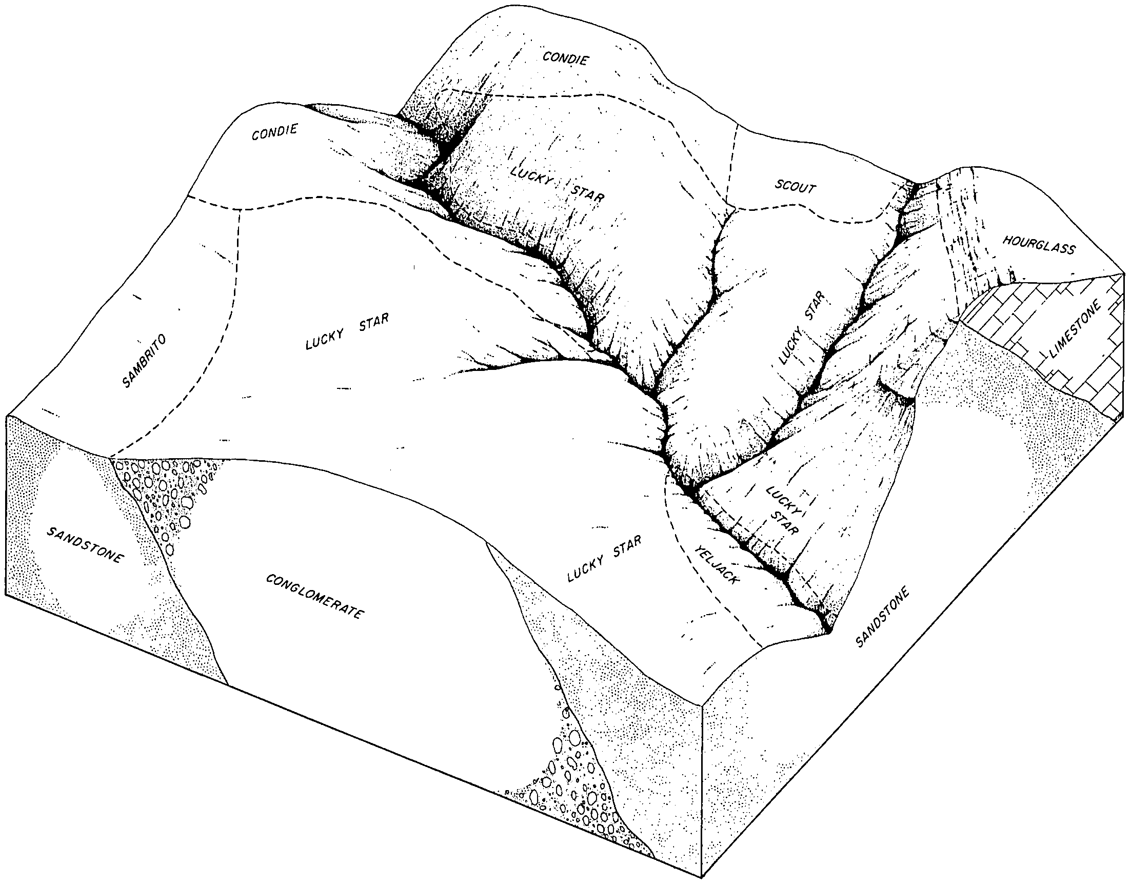
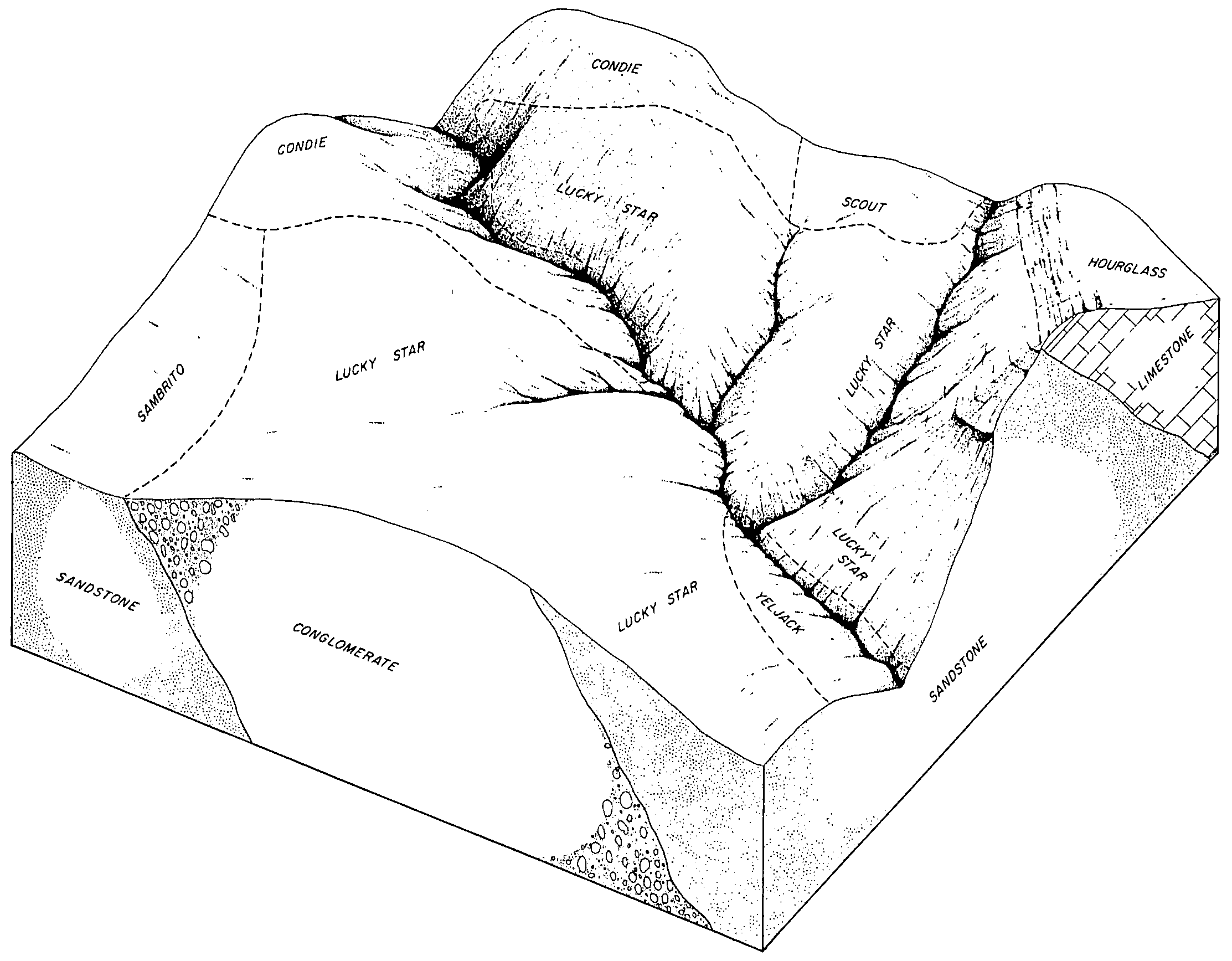
LUCKY STAR-SCOUT ASSOCIATION | LXE | 2468 | 482765 | j6c2 | ut603 | 1968 | 1:20000 |
SCOUT GRAVELLY LOAM, 40 TO 70 PERCENT SLOPES | SLG | 1051 | 482824 | j6dz | ut603 | 1968 | 1:20000 |
Scout very stony loam, 10 to 40 percent slopes | SEE | 2270 | 503902 | jxbx | ut604 | 1980 | 1:24000 |
Bundo, moist-Scout-Uinta, families complex, 30 to 70 percent slopes | 107 | 10625 | 3243264 | 2zscd | ut645 | | 1:24000 |
Broad Canyon-Scout families complex, 30 to 75 percent slopes | mt93 | 5272 | 3314853 | 30hlj | ut645 | | 1:24000 |
Circleville, moist-Scout, warm-Panguitch families complex, 40 to 80 percent slopes | 107A | 5250 | 3243265 | 2zscf | ut645 | | 1:24000 |
Scandard family, cool-Scout family-Lava flows complex, 0 to 25 percent slopes | 221A | 5361 | 512437 | k677 | ut646 | | 1:24000 |
Scandard family, cool-Scout family complex, 40 to 60 percent slopes | 264A | 751 | 512455 | k67t | ut646 | | 1:24000 |
Sambrito-Lucky Star-Scout complex 5 to 25 percent slopes | 580 | 5695 | 3450345 | 2pzwb | ut647 | | 1:24000 |
Scout-Lucky Star-Sambrito complex, 25 to 50 percent slopes | 575 | 2924 | 3450344 | 2pzw8 | ut647 | | 1:24000 |
LUCKY STAR-SCOUT ASSOCIATION | LXE | 63 | 3450355 | j6c2 | ut647 | | 1:24000 |
Scout family, 20 to 40 percent slopes | 198 | | 625283 | nznf | ut649 | | 1:24000 |
Scout family, 5 to 20 percent slopes | 197 | | 625284 | nzng | ut649 | | 1:24000 |
Scout-Mirror Lake families, association, 40 to 75 percent slopes | 199 | | 625282 | nznd | ut649 | | 1:24000 |
Elwood-Scout families, association, 15 to 60 percent slopes | 149 | | 625236 | nzlx | ut649 | | 1:24000 |
Rock outcrop-Maurice-Scout families, complex, 15 to 75 percent slopes | 191 | 1362 | 157747 | 594m | wy647 | | 1:24000 |
Rock outcrop-Maurice-Scout families, complex, 15 to 75 percent slopes | 265 | 3828 | 157812 | 596q | wy656 | 2008 | 1:24000 |