| Sumine-Pie Creek-Reluctan association | 580 | 2005 | 2519399 | 2qjp9 | nv612 | 1968 | 1:24000 |
Carstump-Reluctan-Ninemile association, steep | 1686 | 10360 | 477101 | j0gc | nv763 | 1986 | 1:24000 |
Carstump-Reluctan-Ninemile association, hilly | 1680 | 7345 | 477099 | j0g9 | nv763 | 1986 | 1:24000 |
Cleavage-Chen-Reluctan association | 1628 | 6870 | 477082 | j0fr | nv763 | 1986 | 1:24000 |
Ninemile-Reluctan-Graley association | 1653 | 6630 | 477087 | j0fx | nv763 | 1986 | 1:24000 |
Sumine-Pie Creek-Reluctan association | 580 | 5995 | 477260 | j0mh | nv763 | 1986 | 1:24000 |
Ninemile-Reluctan-Ninemile, moderately steep association | 1651 | 4295 | 477085 | j0fv | nv763 | 1986 | 1:24000 |
Tweener-Cleavage-Reluctan association | 1931 | 3320 | 477154 | j0j2 | nv763 | 1986 | 1:24000 |
Reluctan-Ninemile-Cleavage association | 1711 | 3115 | 477107 | j0gk | nv763 | 1986 | 1:24000 |
Reluctan-Sumine-Cleavage association | 1712 | 2195 | 477108 | j0gl | nv763 | 1986 | 1:24000 |
Deseed-Reluctan-Cleavage association | 2171 | 1940 | 477168 | j0jj | nv763 | 1986 | 1:24000 |
Sumine-Reluctan=-Cleavage association | 572 | 1420 | 477255 | 2wbhm | nv763 | 1986 | 1:24000 |
Reluctan-Erakatak-Rugar association | 1713 | 1015 | 477109 | j0gm | nv763 | 1986 | 1:24000 |
Itca-Roca-Reluctan association | 3136 | 19636 | 479195 | j2mx | nv768 | 1985 | 1:63360 |
Reluctan-Locane-Itca association | 3453 | 13891 | 479228 | j2nz | nv768 | 1985 | 1:63360 |
Itca-Clanalpine-Reluctan association | 3130 | 8349 | 479190 | j2mr | nv768 | 1985 | 1:63360 |
Itca-Reluctan-Walti association | 3137 | 4939 | 479196 | j2my | nv768 | 1985 | 1:63360 |
Reluctan-Robson-Cleavage association | 3450 | 2899 | 479227 | j2ny | nv768 | 1985 | 1:63360 |
Torro-Reluctan-Cleavage association | 3462 | 2505 | 479232 | j2p3 | nv768 | 1985 | 1:63360 |
Itca variant-Reluctan-Handy association | 2690 | 2331 | 479145 | j2l9 | nv768 | 1985 | 1:63360 |
Reluctan-Roca-Colbar association | 3455 | 2317 | 479229 | j2p0 | nv768 | 1985 | 1:63360 |
Reluctan-Clanalpine-Roca association | 3457 | 2305 | 479230 | j2p1 | nv768 | 1985 | 1:63360 |
Punchbowl-Belate-Reluctan association | 2092 | 2154 | 479101 | j2jw | nv768 | 1985 | 1:63360 |
Roca-Reluctan-Sumya association | 902 | 77912 | 475324 | hym1 | nv769 | 1986 | 1:24000 |
Roca-Reluctan association | 901 | 60849 | 475323 | 2t6ws | nv769 | 1986 | 1:24000 |
Roca-Wiskan-Reluctan association | 900 | 30839 | 475322 | hylz | nv769 | 1986 | 1:24000 |
Roca-Reluctan variant association, steep | 905 | 12305 | 475326 | hym3 | nv769 | 1986 | 1:24000 |
Roca-Reluctan variant association, very steep | 906 | 4260 | 475327 | hym4 | nv769 | 1986 | 1:24000 |
Burnborough-Cleavage-Reluctan association | 1350 | 1629 | 475209 | hyhb | nv769 | 1986 | 1:24000 |
Itca-Reluctan-Walti association | 381 | 69909 | 476567 | hzx4 | nv770 | 1995 | 1:24000 |
Burnborough-Cleavage-Reluctan association | 761 | 89 | 476665 | j009 | nv770 | 1995 | 1:24000 |
Sumine-Reluctan=-Cleavage association | 1420 | 26325 | 479462 | 2wbhm | nv775 | 1985 | 1:24000 |
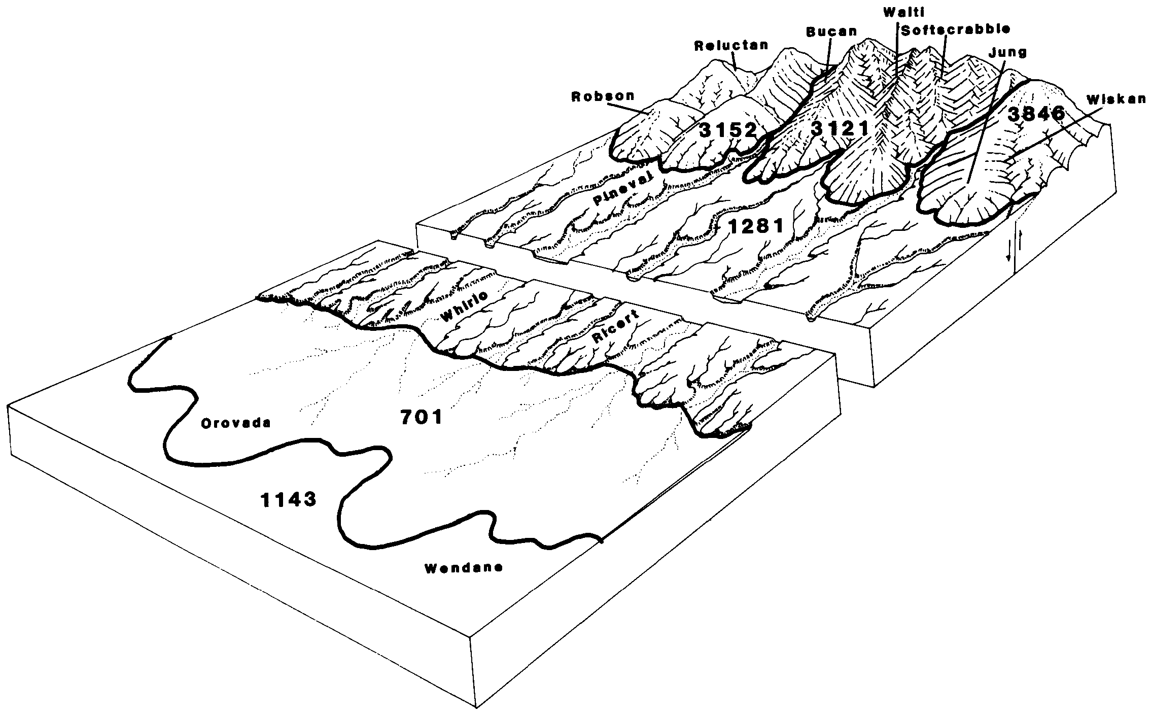
Robson-Reluctan association | 3152 | 10285 | 479620 | j32m | nv775 | 1985 | 1:24000 |
Reluctan-Robson-Sumine association | 3451 | 9735 | 479632 | j330 | nv775 | 1985 | 1:24000 |
Reluctan-Roca-Colbar association | 3455 | 4740 | 479635 | j333 | nv775 | 1985 | 1:24000 |
Roca-Reluctan association | 873 | 4250 | 479738 | 2t6ws | nv775 | 1985 | 1:24000 |
Reluctan-Sumine-Colbar association | 3452 | 3585 | 479633 | j331 | nv775 | 1985 | 1:24000 |
Zoesta-Reluctan association | 3413 | 3000 | 479625 | j32s | nv775 | 1985 | 1:24000 |
Punchbowl-Robson-Reluctan association | 2090 | 2420 | 479524 | j2zj | nv775 | 1985 | 1:24000 |
Punchbowl-Belate-Reluctan association | 2092 | 2320 | 479526 | j2zl | nv775 | 1985 | 1:24000 |
Millerlux-Reluctan-Cleavage association | 112 | 2305 | 479412 | j2vx | nv775 | 1985 | 1:24000 |
Atlow-Reluctan-Trunk association | 1451 | 2225 | 479473 | j2xw | nv775 | 1985 | 1:24000 |
Reluctan-Locane-Itca association | 3453 | 615 | 479634 | j332 | nv775 | 1985 | 1:24000 |
Roca-Reluctan association | 901 | 19531 | 475974 | 2t6ws | nv777 | 1993 | 1:24000 |
Roca-Walti-Reluctan association | 903 | 14742 | 475976 | hz92 | nv777 | 1993 | 1:24000 |
Walti-Sumine-Reluctan association | 921 | 13479 | 475985 | hz9c | nv777 | 1993 | 1:24000 |
Walti-Reluctan-Tusel association | 922 | 11893 | 475986 | hz9d | nv777 | 1993 | 1:24000 |
Ninemile-Reluctan-Anawalt association | 1460 | 10889 | 475536 | hytw | nv777 | 1993 | 1:24000 |
Burrita-Havingdon-Reluctan association | 652 | 8614 | 475858 | hz58 | nv777 | 1993 | 1:24000 |
Cleavage-Reluctan association | 885 | 4027 | 475968 | hz8t | nv777 | 1993 | 1:24000 |
Sumine-Rubble land-Reluctan association | 586 | 3093 | 475811 | hz3r | nv777 | 1993 | 1:24000 |
Ninemile-Reluctan-Welch association | fnv552 | 326 | 3270877 | 2wz5s | nv777 | 1993 | 1:24000 |
Reluctan loam, 2 to 20 percent slopes | 108C | 30 | 63392 | 23yx | or620 | 1992 | 1:24000 |
Ninemile-Reluctan complex, 0 to 15 percent slopes | 225 | 63585 | 490616 | jgjb | or628 | 1997 | 1:24000 |
Ninemile-Reluctan-Rubble land complex, 2 to 30 percent slopes | 226 | 42248 | 490617 | jgjc | or628 | 1997 | 1:24000 |
Reluctan loam, 2 to 20 percent slopes | 277 | 14699 | 490687 | jglm | or628 | 1997 | 1:24000 |
Reluctan very stony silt loam, 2 to 20 percent slopes | 278 | 12907 | 490688 | jgln | or628 | 1997 | 1:24000 |
Ninemile-Reluctan complex, 0 to 15 percent slopes | 484 | 11647 | 1689986 | 1tqkp | or635 | 2006 | 1:24000 |
Reluctan-Arness complex, 2 to 20 percent slopes | 553 | 6523 | 1690053 | 1tqmv | or635 | 2006 | 1:24000 |
Reluctan loam, 2 to 20 percent slopes | 552 | 4976 | 1690052 | 1tqmt | or635 | 2006 | 1:24000 |
Ninemile-Reluctan-Rubble land complex, 2 to 30 percent slopes | 485 | 1046 | 1689987 | 1tqkq | or635 | 2006 | 1:24000 |
Ninemile-Reluctan-Welch association | fnv552 | 13222 | 2986870 | 2wz5s | or644 | 2021 | 1:24000 |
Ninemile-Bregar-Reluctan association | fnv553 | 7752 | 2986872 | 2wz5v | or644 | 2021 | 1:24000 |