| Potter gravelly loam | Po | 22083 | 94210 | 3511 | co009 | 1966 | 1:20000 |
Potter and Stoneham gravelly loams, 3 to 35 percent slopes | PsE | 4943 | 94869 | 35q9 | co099 | 1963 | 1:15840 |
Potter and Nihill gravelly soils, 1 to 5 percent slopes | PnC | 539 | 94868 | 35q8 | co099 | 1963 | 1:15840 |
Mansker-Potter association, cool, 1 to 9 percent slopes | MKcD | 4250 | 3156190 | 2xxx2 | nm021 | 1968 | 1:31680 |
Mansker-Potter association, gently sloping | MK | 4216 | 376362 | dmmq | nm021 | 1968 | 1:31680 |
Mobeetie-Potter association, 1 to 15 percent slopes | MW | 11781 | 376448 | dmqh | nm025 | 1967 | 1:20000 |
Potter soils, 3 to 20 percent slopes | PGE | 19960 | 1547916 | f7g2 | nm041 | 2014 | 1:24000 |
Berda-Potter complex, 3 to 12 percent slopes | BpD | 9619 | 2200321 | db49 | nm041 | 2014 | 1:24000 |
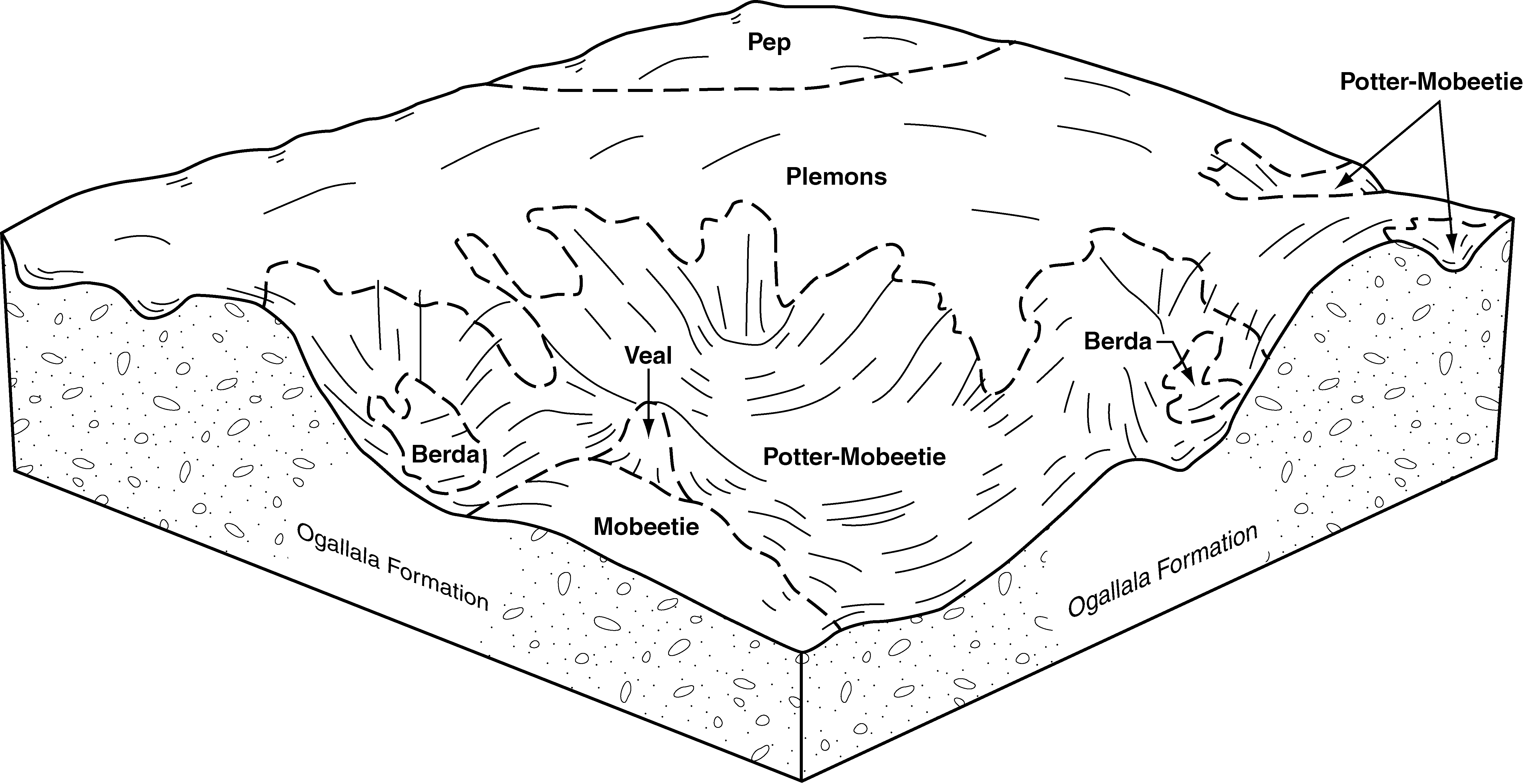
Potter-Mobeetie association, 8 to 45 percent slopes | PMG | 276 | 1884288 | f7g3 | nm041 | 2014 | 1:24000 |
Potter-Simona complex, 5 to 25 percent slopes | PS | 20439 | 55900 | 1w57 | nm614 | 1966 | 1:20000 |
Potter-Mobeetie association, 8 to 45 percent slopes | PMG | 12918 | 377742 | f7g3 | nm669 | 2005 | 1:24000 |
Bascom-Potter loams, 1 to 9 percent slopes | BG | 17521 | 376107 | dmch | nm676 | 1969 | 1:31680 |
Bascom-Potter fine sandy loams, cool, 1 to 9 percent slopes | BFcD | 7692 | 3156207 | 2yk5s | nm676 | 1969 | 1:31680 |
Bascom-Potter fine sandy loams, 1 to 9 percent slopes | BF | 6269 | 376097 | dmc5 | nm676 | 1969 | 1:31680 |
Potter loam, cool, 1 to 9 percent slopes | PTcD | 6246 | 3156215 | 2yk6f | nm676 | 1969 | 1:31680 |
Bascom-Potter loams, cool, 1 to 9 percent slopes | BGcD | 4696 | 3156208 | 2yk5v | nm676 | 1969 | 1:31680 |
Potter loam, 1 to 9 percent slopes | PT | 3889 | 376157 | dmf3 | nm676 | 1969 | 1:31680 |
Bascom-Potter complex, 1 to 9 percent slopes | Bh | 276 | 376108 | dmcj | nm676 | 1969 | 1:31680 |
Potter loam, 1 to 9 percent slopes | Po | 221 | 376158 | dmf4 | nm676 | 1969 | 1:31680 |
Veal-Potter complex, 3 to 12 percent slopes, cool | Me | 34233 | 382065 | 2tqtd | ok025 | 1958 | 1:20000 |
Mansic-Potter complex, 8 to 45 percent slopes | Mc | 5073 | 384745 | dxc4 | ok129 | 1961 | 1:24000 |
Veal-Potter complex, 3 to 12 percent slopes, cool | Mp | 104611 | 384913 | 2tqtd | ok139 | 1959 | 1:24000 |
Potter soils, 3 to 20 percent slopes, cool | Pt | 65033 | 384917 | 2w84c | ok139 | 1959 | 1:24000 |
Potter gravelly loam, 5 to 8 percent slopes | PtC | 1322 | 362413 | 3093y | tx003 | 1970 | 1:31680 |
Mobeetie-Veal-Potter complex, 3 to 20 percent slopes | Bo | 40969 | 362468 | 2tqtz | tx011 | 1963 | 1:20000 |
Potter soils, 3 to 20 percent slopes, cool | Ps | 14698 | 362487 | 2w84c | tx011 | 1963 | 1:20000 |
Potter soils, 3 to 20 percent slopes | Ps | 3605 | 362602 | f7g2 | tx017 | 1960 | 1:20000 |
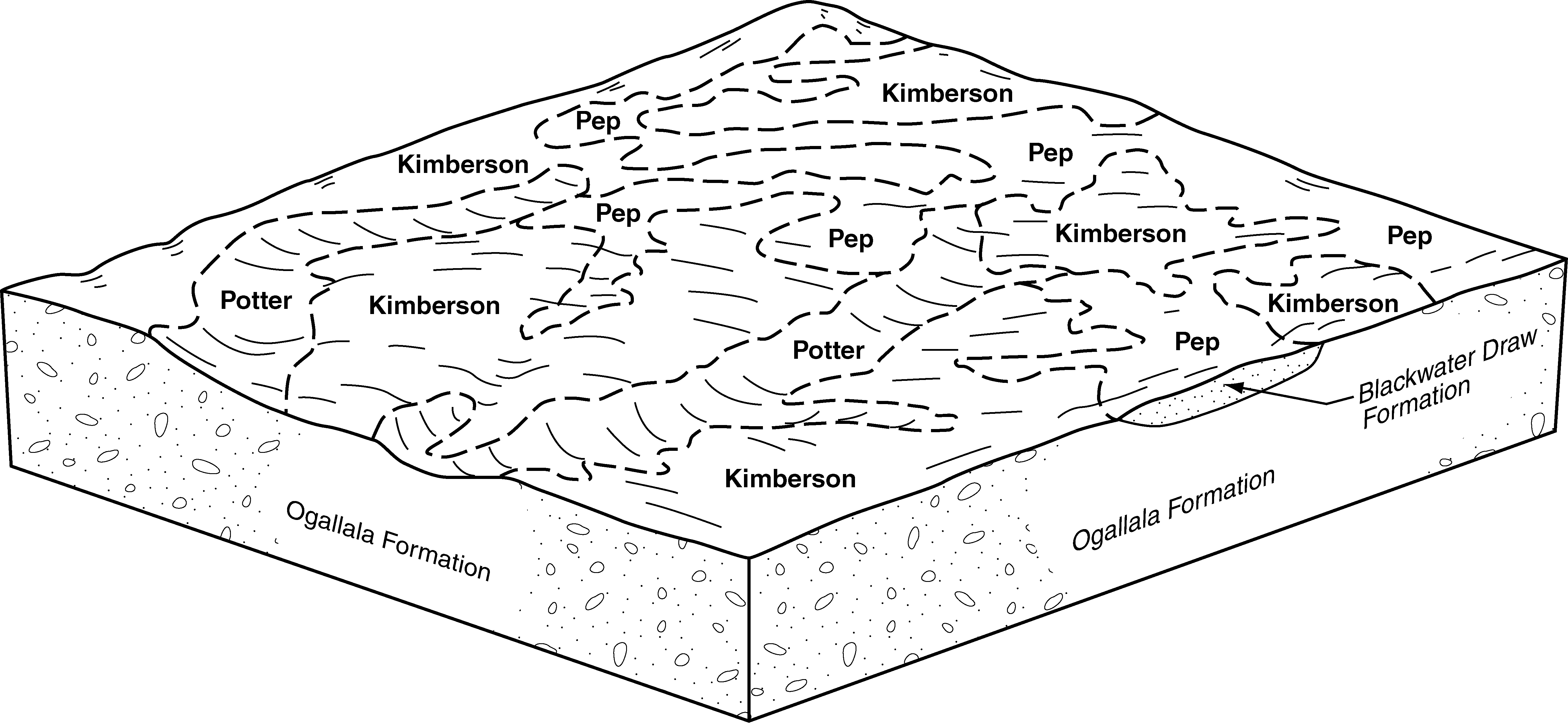
Kimberson-Potter complex, 1 to 8 percent slopes | KpC | 7821 | 2962307 | 1t20q | tx033 | 1970 | 1:24000 |
Veal-Potter complex, 1 to 12 percent slopes | VpE | 7188 | 2962318 | 2xrw7 | tx033 | 1970 | 1:24000 |
Veal-Potter complex, moist, 1 to 8 percent slopes | VaD | 4172 | 362976 | d5px | tx033 | 1970 | 1:24000 |
Berda-Potter-Rock outcrop association, 5 to 45 percent slopes | BPG | 2482 | 2962301 | plhc | tx033 | 1970 | 1:24000 |
Mobeetie-Veal-Potter association, 5 to 20 percent slopes | MVE | 303 | 2962345 | f6lh | tx033 | 1970 | 1:24000 |
Potter-Veal-Rock outcrop association, 12 to 60 percent slopes | PVG | 18442 | 3258052 | 308q6 | tx045 | 1972 | 1:20000 |
Berda-Potter-Rock outcrop association, 5 to 45 percent slopes | BPG | 3675 | 3258061 | plhc | tx045 | 1972 | 1:20000 |
Mobeetie-Veal-Potter complex, 3 to 20 percent slopes | MVE | 13265 | 377957 | 2tqtz | tx065 | 2000 | 1:24000 |
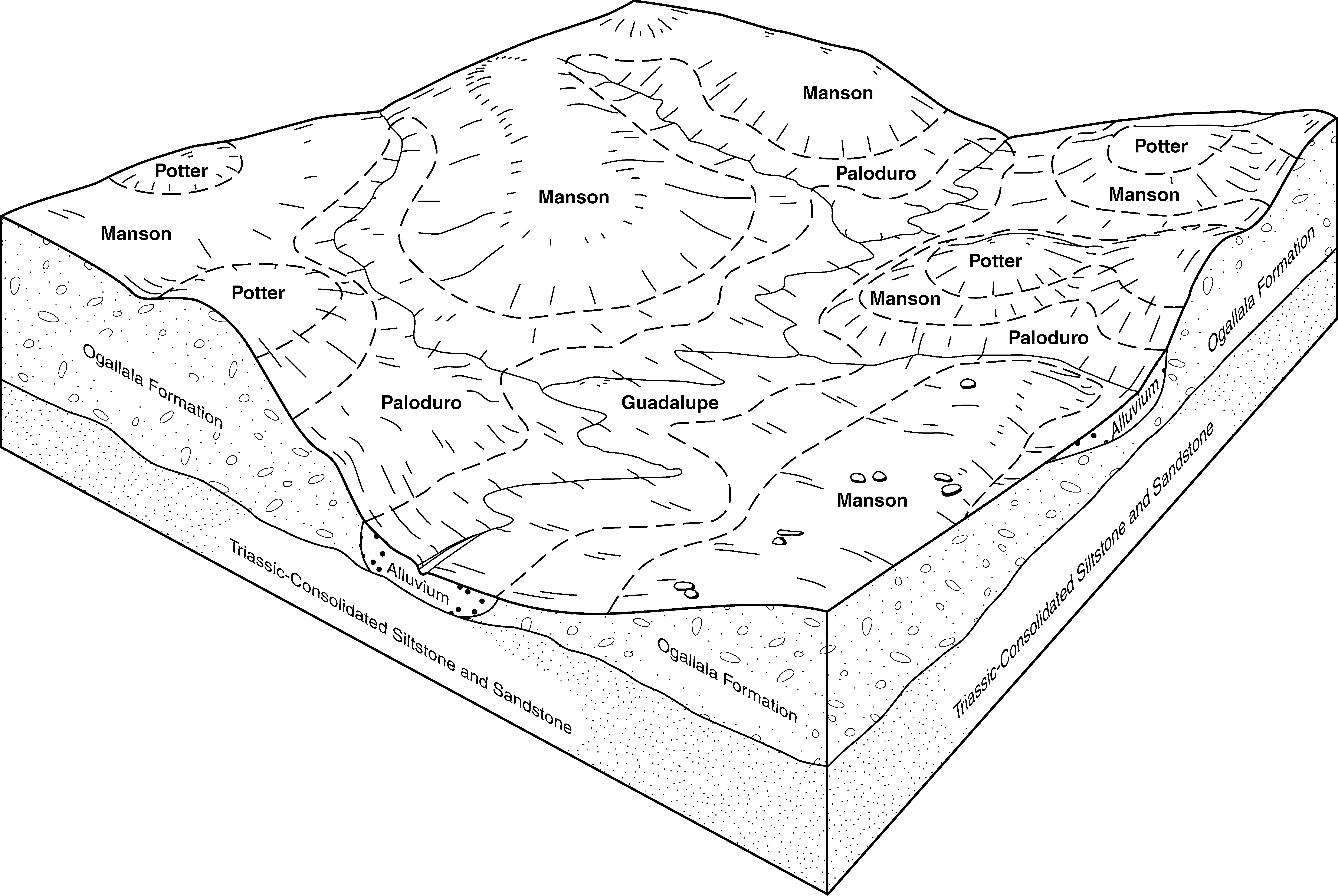
Manson-Paloduro-Potter association, 3 to 12 percent slopes | MPE | 11830 | 377984 | 30k1m | tx065 | 2000 | 1:24000 |
Potter soils, 3 to 20 percent slopes, cool | PGE | 11212 | 393770 | 2w84c | tx065 | 2000 | 1:24000 |
Potter-Mobeetie association, 8 to 45 percent slopes | PMG | 6782 | 377964 | f7g3 | tx065 | 2000 | 1:24000 |
Potter soils, 3 to 20 percent slopes | Pt | 492 | 363775 | f7g2 | tx069 | 1969 | 1:20000 |
Midessa, Potter and Posey soils, 3 to 12 percent slopes | MPP | 1164 | 2931526 | f5sr | tx079 | 1962 | 1:20000 |
Potter soils, 3 to 20 percent slopes | PGE | 33 | 2931532 | f7g2 | tx079 | 1962 | 1:20000 |
Berda-Vernon-Potter association, undulating | BVB | 27362 | 363962 | d6qq | tx081 | 1968 | 1:24000 |
Mansker-Potter complex, 1 to 30 percent slopes | Ml | 51876 | 364722 | 2yk8q | tx107 | 1964 | 1:20000 |
Potter soils, 3 to 20 percent slopes | Ps | 4435 | 364734 | f7g2 | tx107 | 1964 | 1:20000 |
Kimberson-Potter complex, 1 to 8 percent slopes | KpC | 7594 | 393612 | f6l5 | tx115 | 2004 | 1:24000 |
Berda-Potter-Rock outcrop association, 5 to 45 percent slopes | BPG | 7101 | 393599 | plhc | tx115 | 2004 | 1:24000 |
Mobeetie-Veal-Potter association, 5 to 20 percent slopes | MVE | 2644 | 393622 | f6lh | tx115 | 2004 | 1:24000 |
Potter soils, 3 to 20 percent slopes | PGE | 1012 | 393636 | f7g2 | tx115 | 2004 | 1:24000 |
Berda-Potter complex, 3 to 12 percent slopes | BpD | 8693 | 378046 | db49 | tx117 | 1999 | 1:24000 |
Potter-Mobeetie association, 8 to 45 percent slopes | PMG | 7207 | 378059 | f7g3 | tx117 | 1999 | 1:24000 |
Mobeetie-Veal-Potter complex, 3 to 20 percent slopes | MVE | 4393 | 378052 | 2tqtz | tx117 | 1999 | 1:24000 |
Potter soils, 3 to 20 percent slopes | PGE | 2831 | 378080 | f7g2 | tx117 | 1999 | 1:24000 |
Berda-Potter association, 3 to 30 percent slopes | BPF | 26084 | 365108 | 3093v | tx125 | 1965 | 1:20000 |
Mobeetie-Veal-Potter complex, 3 to 20 percent slopes | MxD | 82696 | 365190 | 2tqtz | tx129 | 1975 | 1:24000 |
Berda-Potter-Rock outcrop complex, 20 to 45 percent slopes | BpG | 14863 | 365214 | 30krn | tx129 | 1975 | 1:24000 |
Berda-Pep-Potter association, rolling | BpF | 11628 | 365213 | d812 | tx129 | 1975 | 1:24000 |
Potter loam, 1 to 8 percent slopes | PtD | 2568 | 365198 | d80l | tx129 | 1975 | 1:24000 |
Berda-Potter-Rock outcrop association, 5 to 45 percent slopes | BPG | 12810 | 607446 | plhc | tx153 | 2004 | 1:24000 |
Potter soils, 3 to 20 percent slopes | PGE | 424 | 695971 | f7g2 | tx153 | 2004 | 1:24000 |
Circleback-Potter complex, 5 to 12 percent slopes | Tx | 7496 | 366054 | 2tw41 | tx165 | 1964 | 1:20000 |
Berda-Potter complex, 3 to 12 percent slopes | Be | 6467 | 366033 | db49 | tx165 | 1964 | 1:20000 |
Mobeetie-Potter association, 3 to 20 percent slopes | MP | 16671 | 378333 | 30949 | tx169 | 1965 | 1:24000 |
Potter gravelly loam, 0 to 5 percent slopes | PtC | 3410 | 378352 | 3093x | tx169 | 1965 | 1:24000 |
Potter soils, 3 to 8 percent slopes | PoD | 616 | 366247 | d93f | tx173 | 1974 | 1:31680 |
Mobeetie-Veal-Potter complex, 3 to 20 percent slopes | MxD | 43560 | 391935 | 2tqtz | tx179 | 1965 | 1:20000 |
Potter-Berda-Catesby complex, 5 to 20 percent slopes | PmE | 28444 | 391945 | 30krp | tx179 | 1965 | 1:20000 |
Potter gravelly loam, 1 to 8 percent slopes | Pt | 319 | 366914 | 3094h | tx189 | 1969 | 1:20000 |
Potter soils, 3 to 20 percent slopes, cool | PGE | 28151 | 1948427 | 2w84c | tx195 | 2007 | 1:24000 |
Potter-Mobeetie association, 8 to 45 percent slopes, cool | PMG | 21693 | 1948428 | 2w84d | tx195 | 2007 | 1:24000 |
Mobeetie-Veal-Potter complex, 3 to 20 percent slopes | MVE | 16529 | 1948425 | 2tqtz | tx195 | 2007 | 1:24000 |
Mobeetie-Veal-Potter complex, 3 to 20 percent slopes | MVD | 67786 | 367443 | 2tqtz | tx205 | 1973 | 1:24000 |
Potter soils, 3 to 20 percent slopes, cool | PoE | 20527 | 367453 | 2w84c | tx205 | 1973 | 1:24000 |
Berda-Potter-Rock outcrop complex, 20 to 45 percent slopes | BpG | 8843 | 367423 | 30krn | tx205 | 1973 | 1:24000 |
Mobeetie-Veal-Potter complex, 3 to 20 percent slopes | Mx | 17473 | 367574 | 2tqtz | tx211 | 1967 | 1:20000 |
Potter soils, 3 to 20 percent slopes, cool | Pe | 7582 | 367576 | 2w84c | tx211 | 1967 | 1:20000 |
Berda-Potter complex, 3 to 12 percent slopes | BpD | 2338 | 378975 | db49 | tx219 | 1999 | 1:24000 |
Potter soils, 3 to 20 percent slopes | PGE | 746 | 378990 | f7g2 | tx219 | 1999 | 1:24000 |
Potter soils, 3 to 20 percent slopes | Ps | 41116 | 391901 | f7g2 | tx227 | 1965 | 1:24000 |
Mobeetie-Veal-Potter complex, 3 to 20 percent slopes | MVE | 44803 | 367929 | 2tqtz | tx233 | 1972 | 1:24000 |
Berda-Potter-Rock outcrop complex, 20 to 45 percent slopes | BPF | 17195 | 367903 | 30krn | tx233 | 1972 | 1:24000 |
Potter soils, 3 to 20 percent slopes, cool | PtE | 7299 | 367935 | 2w84c | tx233 | 1972 | 1:24000 |
Potter gravelly loam, 8 to 30 percent slopes | PsE | 2701 | 394297 | 308py | tx279 | 1960 | 1:20000 |
Potter gravelly loam, 1 to 8 percent slopes | PsC | 883 | 394296 | 3094h | tx279 | 1960 | 1:20000 |
Berda and Potter soils, 5 to 12 percent slopes | BeD | 49788 | 369443 | 2tqt5 | tx295 | 1971 | 1:24000 |
Mobeetie-Veal-Potter complex, 3 to 20 percent slopes | MXD | 36002 | 369459 | 2tqtz | tx295 | 1971 | 1:24000 |
Potter soils, 3 to 20 percent slopes, cool | PrD | 8452 | 369472 | 2w84c | tx295 | 1971 | 1:24000 |
Potter loam, 2 to 12 percent slopes | PtD | 5386 | 369859 | 308px | tx303 | 1975 | 1:20000 |
Berda-Potter association, 10 to 30 percent slopes | BPE | 4831 | 369831 | 3093w | tx303 | 1975 | 1:20000 |
Potter-Berda association, 20 to 45 percent slopes | PBG | 3812 | 369860 | 30943 | tx303 | 1975 | 1:20000 |
Potter-Kimberson-Urban land complex, 1 to 5 percent slopes | PKU | 1089 | 369862 | 308q4 | tx303 | 1975 | 1:20000 |
Potter soils, 3 to 20 percent slopes | PGE | 11353 | 379056 | f7g2 | tx305 | 1999 | 1:24000 |
Mobeetie-Veal-Potter association, 5 to 20 percent slopes | MVE | 1607 | 379046 | f7fm | tx305 | 1999 | 1:24000 |
Midessa, Potter and Posey soils, 3 to 12 percent slopes | MPP | 639 | 379047 | f5sr | tx305 | 1999 | 1:24000 |
Potter soils, 3 to 20 percent slopes | Ps | 3819 | 370350 | f7g2 | tx317 | 1968 | 1:24000 |
Potter soils, 3 to 20 percent slopes | Pt | 1173 | 370643 | f7g2 | tx329 | 1966 | 1:31680 |
Mobeetie-Veal-Potter complex, 3 to 20 percent slopes | MvC | 20337 | 370826 | 2tqtz | tx341 | 1968 | 1:24000 |
Berda and Potter soils, 5 to 20 percent slopes | BpF | 8130 | 370852 | 308qv | tx345 | 1972 | 1:24000 |
Potter loam, 3 to 20 percent slopes | PoD | 1412 | 370890 | dfy6 | tx345 | 1972 | 1:24000 |
Flomot-Potter complex, 0 to 3 percent slopes | FpB | 942 | 370862 | dfx9 | tx345 | 1972 | 1:24000 |
Potter soils, 3 to 20 percent slopes, cool | Po | 24094 | 371092 | 2w84c | tx357 | 1966 | 1:20000 |
Mobeetie-Veal-Potter complex, 3 to 20 percent slopes | MVE | 69744 | 3124153 | 2tqtz | tx359 | 1978 | 1:24000 |
Potter-Mobeetie association, 8 to 45 percent slopes, cool | PMG | 10540 | 3124161 | 2w84d | tx359 | 1978 | 1:24000 |
Potter soils, 3 to 20 percent slopes, cool | PGE | 7818 | 3124160 | 2w84c | tx359 | 1978 | 1:24000 |
Potter soils, 3 to 20 percent slopes | PGE | 1495 | 2599159 | f7g2 | tx369 | 1973 | 1:24000 |
Mobeetie-Veal-Potter complex, 3 to 20 percent slopes | MVE | 32686 | 3124222 | 2tqtz | tx375 | 1974 | 1:24000 |
Potter-Mobeetie association, 8 to 45 percent slopes, cool | PMG | 11167 | 3124229 | 2w84d | tx375 | 1974 | 1:24000 |
Potter-Mobeetie association, 8 to 45 percent slopes | PMG | 21278 | 371399 | f7g3 | tx381 | 1999 | 1:24000 |
Potter soils, 3 to 20 percent slopes | PGE | 8386 | 371402 | f7g2 | tx381 | 1999 | 1:24000 |
Mobeetie-Veal-Potter complex, 3 to 20 percent slopes | MVE | 7361 | 371393 | 2tqtz | tx381 | 1999 | 1:24000 |
Berda-Potter complex, 3 to 12 percent slopes | BpD | 3622 | 371385 | db49 | tx381 | 1999 | 1:24000 |
Mobeetie-Veal-Potter urban land association, 5 to 20 percent slopes | MVU | 244 | 630009 | p4kw | tx381 | 1999 | 1:24000 |
Berda-Potter-Urban land complex | BpU | 57 | 643354 | plgc | tx381 | 1999 | 1:24000 |
Mobeetie-Veal-Potter complex, 3 to 20 percent slopes | MxD | 99870 | 371523 | 2tqtz | tx393 | 1979 | 1:24000 |
Berda-Potter-Rock outcrop complex, 20 to 45 percent slopes | BpG | 71685 | 371544 | 30krn | tx393 | 1979 | 1:24000 |
Paloduro-Pep-Potter association, rolling | PpPF | 64639 | 371531 | dglw | tx393 | 1979 | 1:24000 |
Potter soils, 3 to 20 percent slopes, cool | PGE | 12441 | 371532 | 2w84c | tx393 | 1979 | 1:24000 |
Potter soils | Pt | 63603 | 371783 | dgw0 | tx399 | 1965 | 1:20000 |
Cho and Potter soils, undulating | KTD | 48285 | 372244 | dhbw | tx431 | 1974 | 1:31680 |
Potter and Tulia soils | Pt | 1831 | 372343 | dhg2 | tx437 | 1970 | 1:20000 |
Midessa, Potter and Posey soils, 3 to 12 percent slopes | MPP | 5261 | 372555 | f5sr | tx445 | 1999 | 1:24000 |
Potter soils, 3 to 20 percent slopes | PGE | 948 | 372562 | f7g2 | tx445 | 1999 | 1:24000 |
Berda and Potter soils, 5 to 12 percent slopes | BpD | 5095 | 373278 | 2tqt5 | tx483 | 1970 | 1:24000 |
Mobeetie-Veal-Potter complex, 3 to 20 percent slopes | MsD | 3576 | 373316 | 2tqtz | tx483 | 1970 | 1:24000 |
Midessa-Potter complex, 3 to 20 percent slopes | MPE | 2172 | 2962238 | 1idxz | tx501 | 1962 | 1:31680 |
Midessa, Potter and Posey soils, 3 to 12 percent slopes | MPP | 496 | 2931480 | f5sr | tx501 | 1962 | 1:31680 |