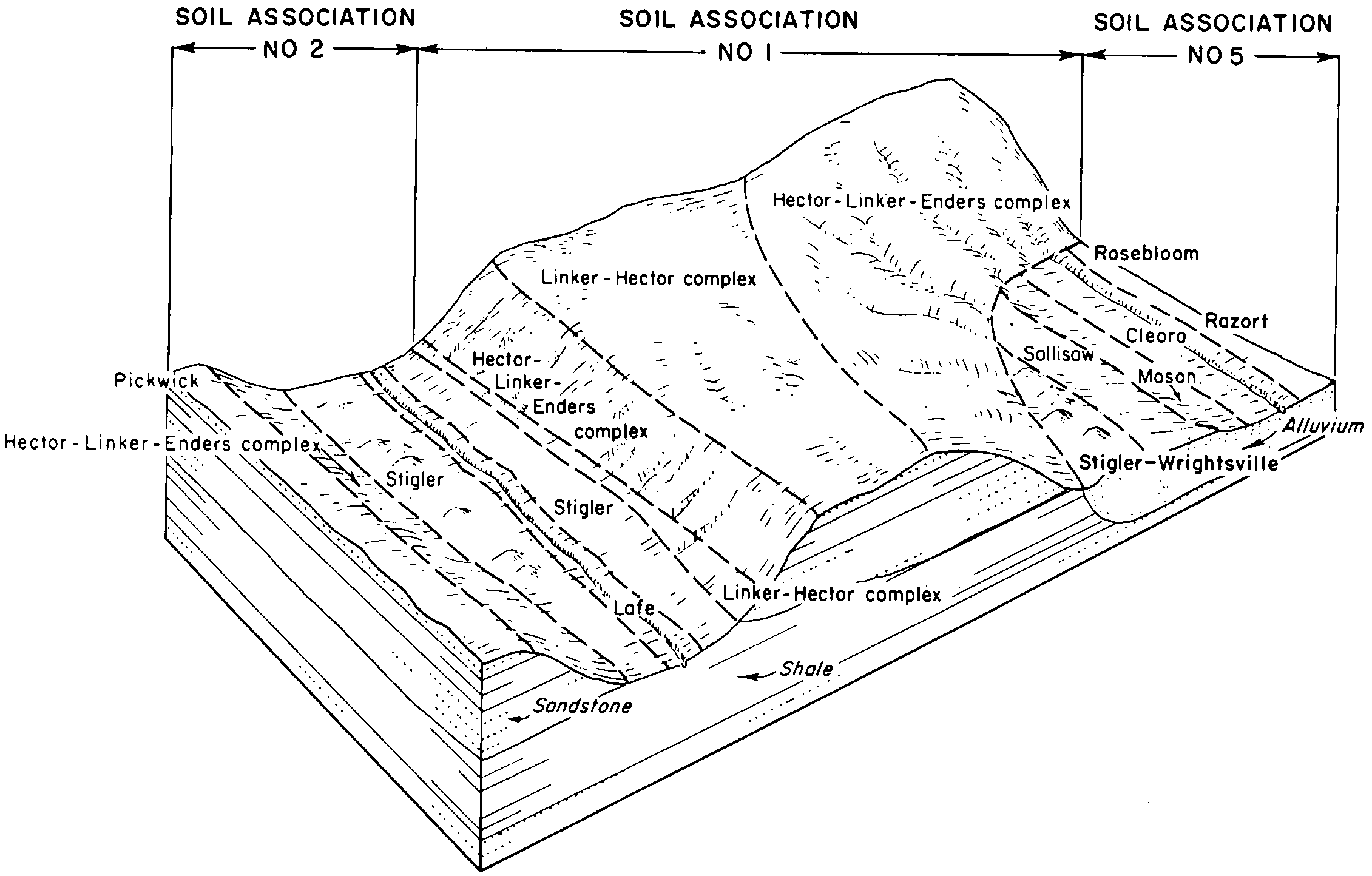
| Pickwick silt loam, 1 to 3 percent slopes | 25 | 1173 | 565501 | lzfz | ar045 | 1975 | 1:20000 |
Pickwick silt loam, 3 to 8 percent slopes, eroded | 26 | 468 | 565502 | lzg0 | ar045 | 1975 | 1:20000 |
Pickwick silt loam, 3 to 8 percent slopes, eroded | PsC2 | 8124 | 565585 | lzjp | ar047 | 1967 | 1:20000 |
Pickwick silt loam, 1 to 3 percent slopes, eroded | PsB2 | 5339 | 565584 | lzjn | ar047 | 1967 | 1:20000 |
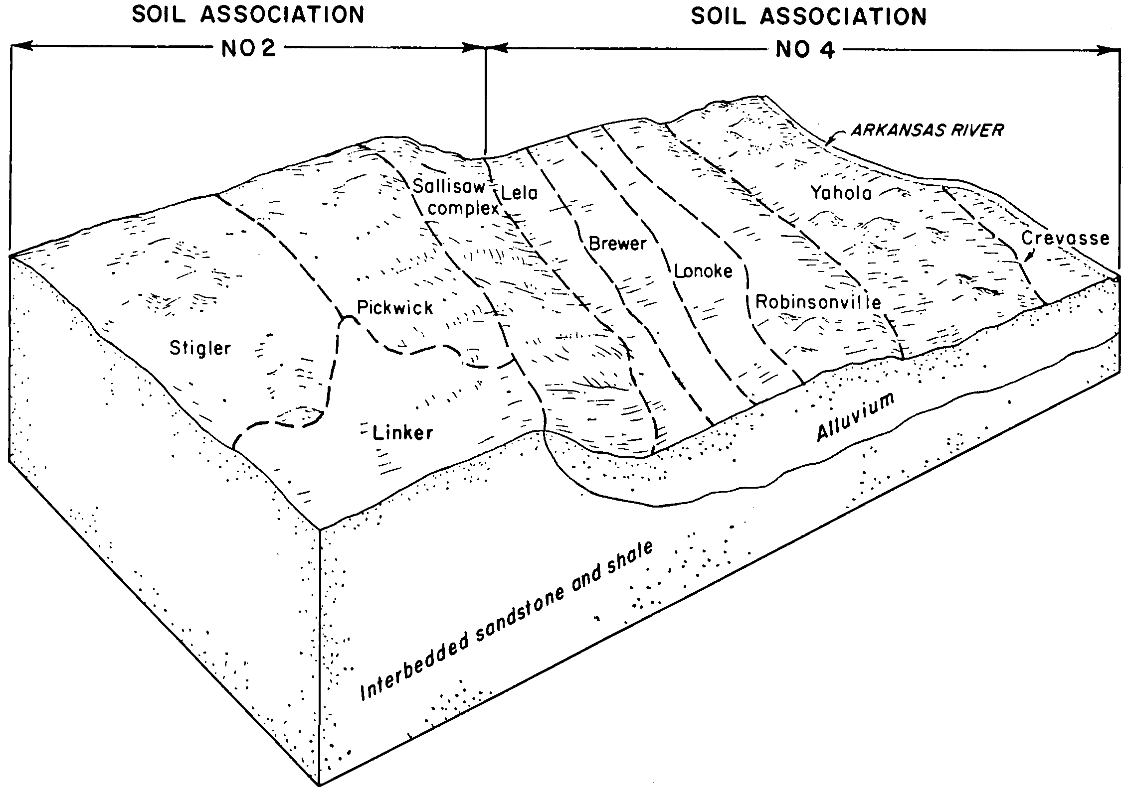
Pickwick silt loam, 3 to 8 percent slopes | PcC | 10409 | 565866 | lztr | ar071 | 1973 | 1:24000 |
Pickwick silt loam, 1 to 3 percent slopes | PcB | 6302 | 565865 | lztq | ar071 | 1973 | 1:24000 |
Pickwick silt loam, 3 to 8 percent slopes | 38 | 5883 | 566144 | m03q | ar115 | 1978 | 1:20000 |
Pickwick silt loam, 1 to 3 percent slopes | 37 | 1200 | 566143 | m03p | ar115 | 1978 | 1:20000 |
Pickwick silt loam, 3 to 8 percent slopes, eroded | PsC2 | 16760 | 566612 | m0lt | ar143 | 1966 | 1:20000 |
Pickwick silt loam, 1 to 3 percent slopes | PsB | 2354 | 566611 | m0ls | ar143 | 1966 | 1:20000 |
Pickwick gravelly loam, 3 to 8 percent slopes, eroded | PkC2 | 1053 | 566609 | m0lq | ar143 | 1966 | 1:20000 |
Pickwick gravelly loam, 8 to 12 percent slopes, eroded | PkD2 | 603 | 566610 | m0lr | ar143 | 1966 | 1:20000 |
Pickwick silt loam, 3 to 8 percent slopes | 43 | 8693 | 565003 | lyxx | ar149 | 1985 | 1:20000 |
Pickwick silt loam, 1 to 3 percent slopes | 42 | 4626 | 565002 | lyxw | ar149 | 1985 | 1:20000 |
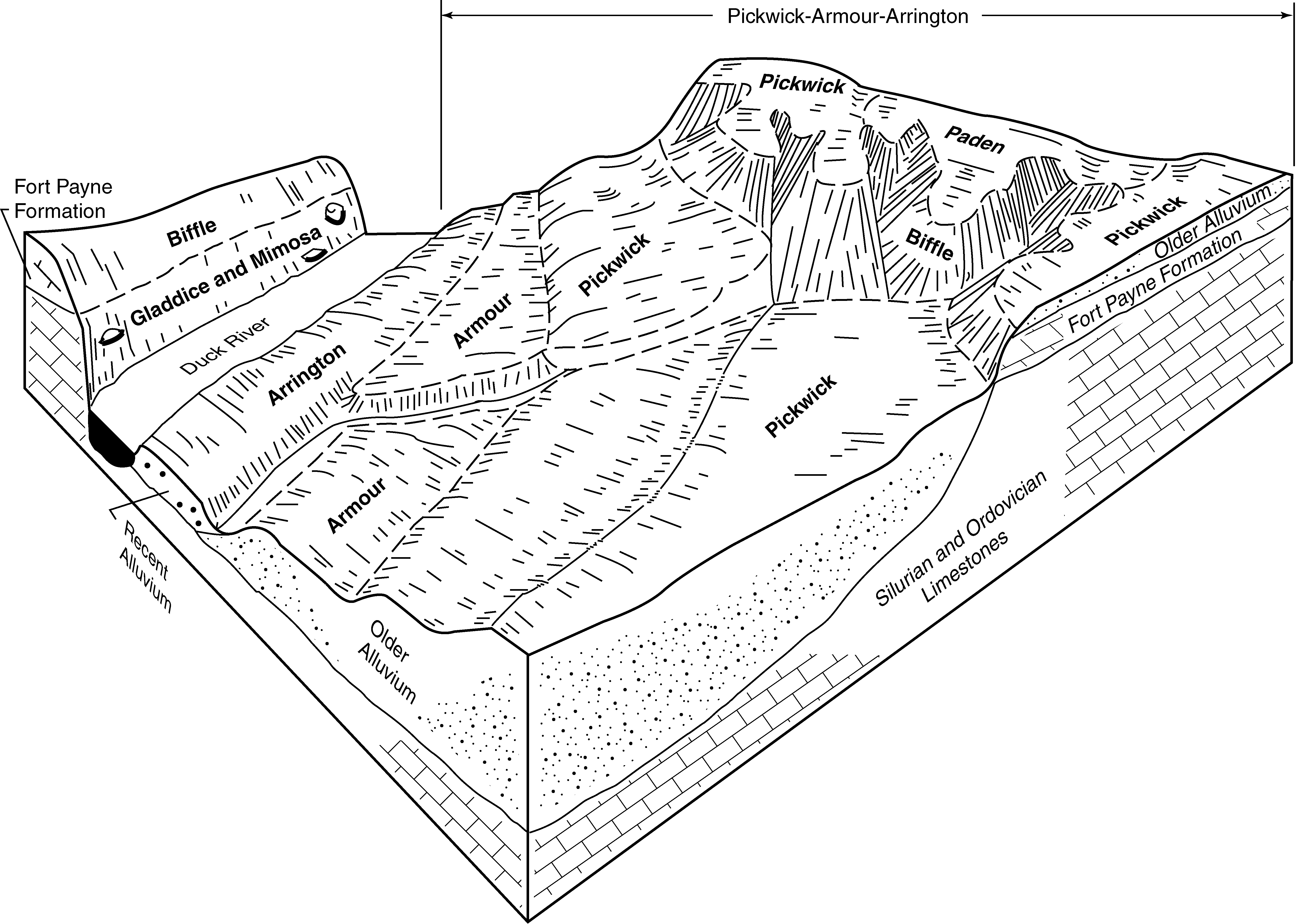
Pickwick silt loam, 2 to 6 percent slopes | PkB | 5122 | 548731 | lf00 | ky141 | 1972 | 1:20000 |
Pickwick silt loam, 6 to 12 percent slopes | PkC | 4930 | 548732 | lf01 | ky141 | 1972 | 1:20000 |
Pickwick silty clay loam, 6 to 12 percent slopes, severely eroded | PlC3 | 920 | 548733 | lf02 | ky141 | 1972 | 1:20000 |
Pickwick silt loam, eroded rolling phase | Pg | 1766 | 327336 | bzm7 | tn039 | 2008 | 1:24000 |
Pickwick silty clay loam, severely eroded rolling phase | Po | 1711 | 327342 | bzmf | tn039 | 2008 | 1:24000 |
Pickwick silt loam, eroded undulating phase | Ph | 1198 | 327337 | bzm8 | tn039 | 2008 | 1:24000 |
Pickwick silt loam, hilly phase | Pk | 986 | 327338 | bzm9 | tn039 | 2008 | 1:24000 |
Pickwick silt loam, rolling phase | Pl | 686 | 327339 | bzmb | tn039 | 2008 | 1:24000 |
Pickwick silty clay loam, severely eroded hilly phase | Pn | 521 | 327341 | bzmd | tn039 | 2008 | 1:24000 |
Pickwick silt loam, undulating phase | Pm | 336 | 327340 | bzmc | tn039 | 2008 | 1:24000 |
Pickwick silt loam, eroded hilly phase | Pf | 195 | 327335 | bzm6 | tn039 | 2008 | 1:24000 |
Pickwick silt loam, 2 to 5 percent slopes | PcB | 3143 | 527357 | kprj | tn055 | 1965 | 1:15840 |
Pickwick silt loam, 5 to 12 percent slopes, eroded | PcC2 | 713 | 527358 | kprk | tn055 | 1965 | 1:15840 |
Pickwick silt loam, 5 to 12 percent slopes, severely eroded | PcC3 | 241 | 527359 | kprl | tn055 | 1965 | 1:15840 |
Pickwick silty clay loam, 5 to 8 percent slopes, severely eroded | PwC3 | 5923 | 327613 | bzx5 | tn071 | 1961 | 1:15840 |
Pickwick silt loam, 5 to 8 percent slopes | PkC | 5063 | 327608 | bzx0 | tn071 | 1961 | 1:15840 |
Pickwick silty clay loam, 2 to 5 percent slopes, severely eroded | PwB3 | 4516 | 327612 | bzx4 | tn071 | 1961 | 1:15840 |
Pickwick silt loam, 2 to 5 percent slopes | PkB | 3252 | 327606 | 2sr8p | tn071 | 1961 | 1:15840 |
Pickwick silt loam, 2 to 5 percent slopes, eroded | PkB2 | 2777 | 327607 | bzwz | tn071 | 1961 | 1:15840 |
Pickwick silty clay loam, 8 to 12 percent slopes, severely eroded | PwD3 | 2001 | 327614 | bzx6 | tn071 | 1961 | 1:15840 |
Pickwick silt loam, 8 to 12 percent slopes | PkD | 1574 | 327610 | bzx2 | tn071 | 1961 | 1:15840 |
Pickwick silt loam, 5 to 8 percent slopes, eroded | PkC2 | 1494 | 327609 | bzx1 | tn071 | 1961 | 1:15840 |
Pickwick silt loam, 12 to 25 percent slopes | PkE | 1173 | 327611 | bzx3 | tn071 | 1961 | 1:15840 |
Pickwick-Gullied land complex | Px | 1072 | 327616 | bzx8 | tn071 | 1961 | 1:15840 |
Pickwick silty clay loam, 12 to 25 percent slopes, severely eroded | PwE3 | 574 | 327615 | bzx7 | tn071 | 1961 | 1:15840 |
Pickwick silt loam, 5 to 12 percent slopes, eroded | PkC2 | 5411 | 527482 | kpwk | tn081 | 1997 | 1:24000 |
Pickwick silt loam, 2 to 5 percent slopes | PkB | 4527 | 527481 | kpwj | tn081 | 1997 | 1:24000 |
Pickwick silty clay loam, 5 to 12 percent slopes, severely eroded | PkC3 | 3843 | 527483 | kpwl | tn081 | 1997 | 1:24000 |
Pickwick silt loam, eroded rolling phase | Pf | 1326 | 527548 | kpyp | tn083 | 1952 | 1:20000 |
Pickwick silt loam, eroded undulating phase | Pe | 735 | 527547 | kpyn | tn083 | 1952 | 1:20000 |
Pickwick silt loam, undulating phase | Pd | 145 | 527546 | kpym | tn083 | 1952 | 1:20000 |
Talbott-Pickwick silt loam, eroded rolling phase | Tb | 124 | 527552 | kpyt | tn083 | 1952 | 1:20000 |
Pickwick silt loam, 5 to 12 percent slopes, eroded | PkC2 | 636 | 530876 | ktf1 | tn101 | 1999 | 1:24000 |
Pickwick silt loam, 2 to 5 percent slopes | PkB | 148 | 530875 | ktf0 | tn101 | 1999 | 1:24000 |
Pickwick silty clay loam, 5 to 12 percent slopes, severely eroded | PkC3 | 141 | 530877 | ktf2 | tn101 | 1999 | 1:24000 |
Pickwick silty clay loam, 5 to 12 percent slopes, severely eroded | PkC3 | 1317 | 327973 | c08s | tn109 | 1994 | 1:20000 |
Pickwick silt loam, 2 to 5 percent slopes | PkB | 566 | 327972 | c08r | tn109 | 1994 | 1:20000 |
Pickwick silt loam, 5 to 12 percent slopes, eroded | PkC2 | 8046 | 527999 | kqf7 | tn125 | 1972 | 1:15840 |
Pickwick silt loam, 5 to 12 percent slopes | PkC | 7463 | 527998 | kqf6 | tn125 | 1972 | 1:15840 |
Pickwick silt loam, 2 to 5 percent slopes | PkB | 4099 | 527997 | kqf5 | tn125 | 1972 | 1:15840 |
Pickwick silt loam, 12 to 20 percent slopes | PkD | 981 | 528000 | kqf8 | tn125 | 1972 | 1:15840 |
Pickwick silt loam, 5 to 12 percent slopes, severely eroded | PkC3 | 1203 | 560641 | ltd6 | tn135 | 2000 | 1:24000 |
Pickwick silt loam, 5 to 12 percent slopes, eroded | PkC2 | 760 | 560640 | ltd5 | tn135 | 2000 | 1:24000 |
Pickwick silt loam, 2 to 5 percent slopes, eroded | PkB2 | 319 | 560639 | ltd4 | tn135 | 2000 | 1:24000 |
Pickwick silty clay loam, 5 to 12 percent slopes, severely eroded | PkC3 | 7461 | 528188 | kqmb | tn147 | 1965 | 1:15840 |
Pickwick silt loam, 5 to 12 percent slopes | PkC | 1413 | 328034 | c0br | tn181 | 1996 | 1:24000 |
Pickwick silt loam, 2 to 5 percent slopes | PkB | 746 | 328033 | 2sr8p | tn181 | 1996 | 1:24000 |
Pickwick silty clay loam, 5 to 12 percent slopes, severely eroded | PkC3 | 497 | 328035 | c0bs | tn181 | 1996 | 1:24000 |
Pickwick silt loam, 12 to 20 percent slopes | PkD | 214 | 328036 | c0bt | tn181 | 1996 | 1:24000 |
Pickwick silty clay loam, 12 to 20 percent slopes, severely eroded | PkD3 | 210 | 328037 | c0bv | tn181 | 1996 | 1:24000 |

