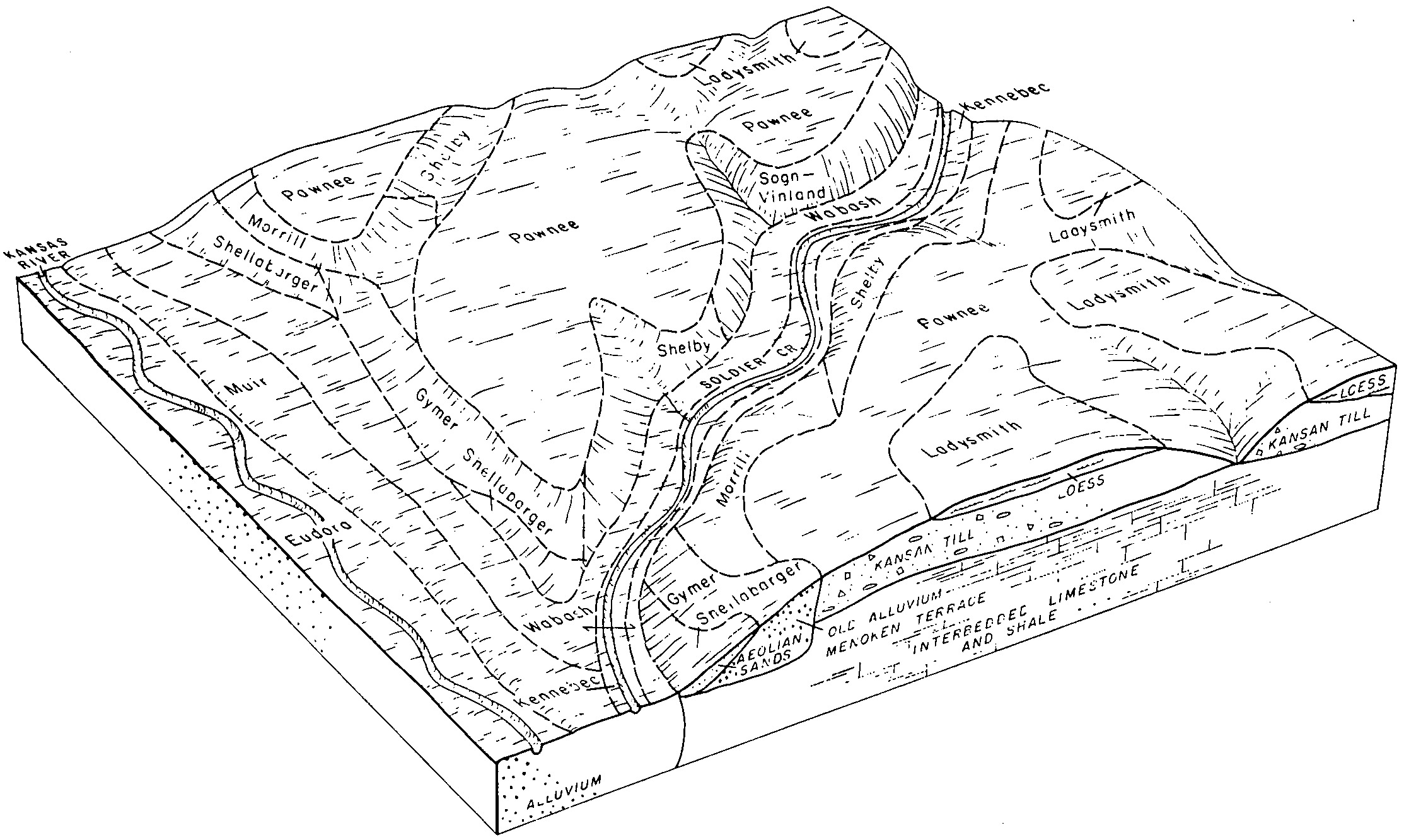
| Muir silt loam, very rarely flooded | 3261 | 26899 | 2605724 | 2tpxv | ks027 | 1983 | 1:24000 |
Muir silt loam, rarely flooded | 3775 | 8146 | 1454648 | 2wtw2 | ks027 | 1983 | 1:24000 |
Muir silt loam, very rarely flooded | 3261 | 20225 | 2605738 | 2tpxv | ks029 | 1972 | 1:24000 |
Muir silt loam, rarely flooded | 3775 | 3251 | 1382047 | 2wtw2 | ks029 | 1972 | 1:24000 |
Muir silt loam, 3 to 7 percent slopes, eroded | 3770 | 397 | 2605734 | 2tpxy | ks029 | 1972 | 1:24000 |
Muir silt loam, rarely flooded | 3775 | 22360 | 1454537 | 2wtw2 | ks041 | 1977 | 1:24000 |
Muir silt loam, rarely flooded | 3775 | 4893 | 1387167 | 2wtw2 | ks061 | 1991 | 1:24000 |
Muir silt loam, very rarely flooded | 3261 | 890 | 2605756 | 2tpxv | ks089 | 1981 | 1:24000 |
Muir silt loam, rarely flooded | 3775 | 14605 | 1457061 | 2tpxt | ks117 | 1977 | 1:24000 |
Muir silt loam, rarely flooded | 3775 | 307 | 1382139 | 2wtw2 | ks143 | 1978 | 1:24000 |
Muir silt loam, rarely flooded | 3775 | 679 | 1480683 | 2wtw2 | ks149 | 1984 | 1:24000 |
Muir silt loam, very rarely flooded | 3261 | 17322 | 2605653 | 2tpxv | ks157 | 1965 | 1:24000 |
Muir silt loam, rarely flooded | 3775 | 2585 | 1381936 | 2tpxt | ks157 | 1965 | 1:24000 |
Muir silt loam, 3 to 7 percent slopes, eroded | 3770 | 772 | 2605652 | 2tpxy | ks157 | 1965 | 1:24000 |
Muir silt loam, rarely flooded | 3775 | 2009 | 1472282 | 2wtw2 | ks161 | 1970 | 1:24000 |
Muir silt loam, rarely flooded | 3775 | 55 | 1382185 | 2wtw2 | ks169 | 1989 | 1:24000 |
Muir silt loam, rarely flooded | 3775 | 199 | 1473447 | 2wtw2 | ks177 | 1966 | 1:24000 |
Muir silt loam, rarely flooded | 3775 | 19844 | 1454879 | 2tpxt | ks201 | 1988 | 1:24000 |
Muir silt loam, very rarely flooded | 3261 | 5845 | 2605721 | 2tpxv | ks201 | 1988 | 1:24000 |
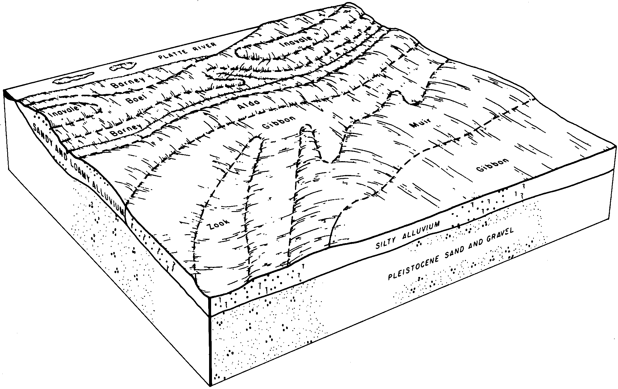
Muir silt loam, 0 to 2 percent slopes, rarely flooded | 3775 | 84 | 2216652 | 2y21j | ne011 | 1966 | 1:20000 |
Muir silt loam, rarely flooded | 3775 | 13357 | 1691304 | 2tpxt | ne023 | 1979 | 1:20000 |
Muir silt loam, 1 to 3 percent slopes | 3776 | 4730 | 1691305 | 2tpxw | ne023 | 1979 | 1:20000 |
Blendon-Muir complex, 0 to 2 percent slopes | 6518 | 3607 | 1691263 | 2znsg | ne023 | 1979 | 1:20000 |
Muir silt loam, 3 to 7 percent slopes | 3777 | 142 | 2219022 | 2tpxx | ne023 | 1979 | 1:20000 |
Muir silt loam, rarely flooded | 3775 | 5501 | 1692385 | 2tpxt | ne059 | 1984 | 1:20000 |
Muir silt loam, 1 to 3 percent slopes | 3776 | 2210 | 1692386 | 2tpxw | ne059 | 1984 | 1:20000 |
Muir silt loam, 3 to 7 percent slopes | 3777 | 289 | 1692387 | 2tpxx | ne059 | 1984 | 1:20000 |
Muir silt loam, rarely flooded | 3775 | 10104 | 1691770 | 2tpxt | ne095 | 1970 | 1:20000 |
Muir silt loam, 1 to 3 percent slopes | 3776 | 4914 | 1691769 | 2tpxw | ne095 | 1970 | 1:20000 |
Hord silt loam, 1 to 3 percent slopes | 8870 | 260 | 1691802 | 1tsg8 | ne095 | 1970 | 1:20000 |
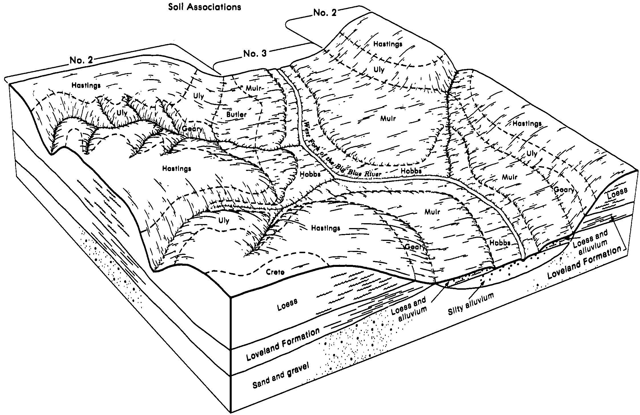
Muir silty clay loam, 0 to 2 percent slopes, rarely flooded | 3774 | 8471 | 427423 | 2y21k | ne119 | 1981 | 1:20000 |
Muir silt loam, 0 to 2 percent slopes, rarely flooded | 3775 | 111 | 2217121 | 2y21j | ne119 | 1981 | 1:20000 |
Muir silt loam, 1 to 3 percent slopes | 3776 | 1795 | 427479 | gbtn | ne125 | 1958 | 1:20000 |
Muir silt loam, 3 to 7 percent slopes | 3777 | 389 | 427480 | gbtp | ne125 | 1958 | 1:20000 |
Muir silt loam, 0 to 2 percent slopes, rarely flooded | 3775 | 114 | 2228976 | 2y21j | ne125 | 1958 | 1:20000 |
Muir silt loam, very rarely flooded | 3261 | 30 | 2605709 | 2tpxv | ne129 | 1974 | 1:20000 |
Muir silt loam, 0 to 2 percent slopes, rarely flooded | 3775 | 11868 | 427567 | 2y21j | ne139 | 1970 | 1:20000 |
Muir silt loam, calcareous, rarely flooded | 3556 | 3263 | 427568 | gbxj | ne139 | 1970 | 1:20000 |
Muir silty clay loam, 0 to 2 percent slopes, rarely flooded | 3774 | 113 | 2217135 | 2y21k | ne139 | 1970 | 1:20000 |
Muir silt loam, 0 to 2 percent slopes, rarely flooded | 3775 | 9055 | 427663 | 2y21j | ne141 | 1984 | 1:20000 |
Muir silt loam, sandy substratum, 0 to 1 percent slopes | 3778 | 1483 | 427664 | gc0m | ne141 | 1984 | 1:20000 |
Muir silty clay loam, 0 to 2 percent slopes, rarely flooded | 3774 | 63 | 2217196 | 2y21k | ne141 | 1984 | 1:20000 |
Muir silt loam, 0 to 1 percent slopes | 3773 | 11186 | 1692293 | 2tpxz | ne143 | 1967 | 1:20000 |
Muir silt loam, 1 to 3 percent slopes | 3776 | 5175 | 1692291 | 2tpxw | ne143 | 1967 | 1:20000 |
Muir silt loam, rarely flooded | 3775 | 1808 | 2219010 | 2tpxt | ne143 | 1967 | 1:20000 |
Muir silt loam, 3 to 7 percent slopes | 3777 | 963 | 1692292 | 2tpxx | ne143 | 1967 | 1:20000 |
Muir silt loam, rarely flooded | 3775 | 19250 | 1691173 | 2tpxt | ne151 | 1985 | 1:20000 |
Muir silt loam, 1 to 3 percent slopes | 3776 | 9360 | 1691174 | 2tpxw | ne151 | 1985 | 1:20000 |
Muir silt loam, 3 to 7 percent slopes | 3777 | 3273 | 1691175 | 2tpxx | ne151 | 1985 | 1:20000 |
Muir silt loam, rarely flooded | 3775 | 12490 | 1691210 | 2tpxt | ne159 | 1967 | 1:20000 |
Muir silt loam, 1 to 3 percent slopes | 3776 | 10020 | 1691211 | 2tpxw | ne159 | 1967 | 1:20000 |
Muir silt loam, 3 to 7 percent slopes | 3777 | 4003 | 1691212 | 2tpxx | ne159 | 1967 | 1:20000 |
Muir silty clay loam, rarely flooded | 3774 | 935 | 1691213 | 2tpy0 | ne159 | 1967 | 1:20000 |
Muir silt loam, 0 to 1 percent slopes | 3773 | 798 | 1691214 | 2tpxz | ne159 | 1967 | 1:20000 |
Muir silty clay loam, 0 to 2 percent slopes, rarely flooded | 3774 | 7188 | 426845 | 2y21k | ne167 | 1980 | 1:20000 |
Muir silt loam, rarely flooded | 3775 | 17367 | 1692435 | 2tpxt | ne169 | 1965 | 1:20000 |
Muir silt loam, 1 to 3 percent slopes | 3776 | 6230 | 1692436 | 2tpxw | ne169 | 1965 | 1:20000 |
Muir-Meadin complex, 0 to 3 percent slopes | 3779 | 1586 | 1692434 | 2tpy1 | ne169 | 1965 | 1:20000 |
Muir silt loam, 3 to 7 percent slopes, eroded | 3770 | 352 | 1692437 | 2tpxy | ne169 | 1965 | 1:20000 |
Muir silt loam, 0 to 2 percent slopes, rarely flooded | 3775 | 545 | 2217348 | 2y21j | ne179 | 1970 | 1:20000 |