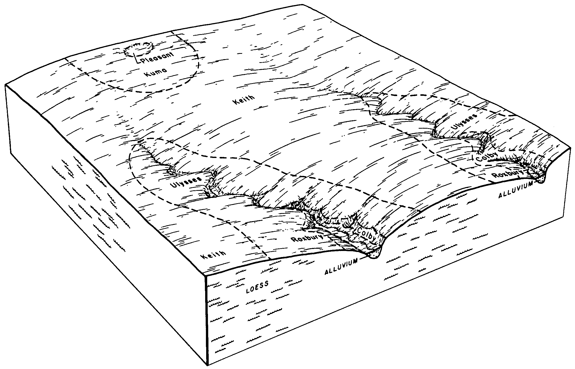
| Kuma-Keith silt loams, 0 to 2 percent slopes | 43 | 139904 | 96838 | 37rt | co063 | 1996 | 1:24000 |
Kuma-Keith very fine sandy loams, 1 to 3 percent slopes | 42 | 2915 | 96837 | 37rs | co063 | 1996 | 1:24000 |
Kuma loam | 52 | 3478 | 94535 | 35cj | co075 | 1974 | 1:24000 |
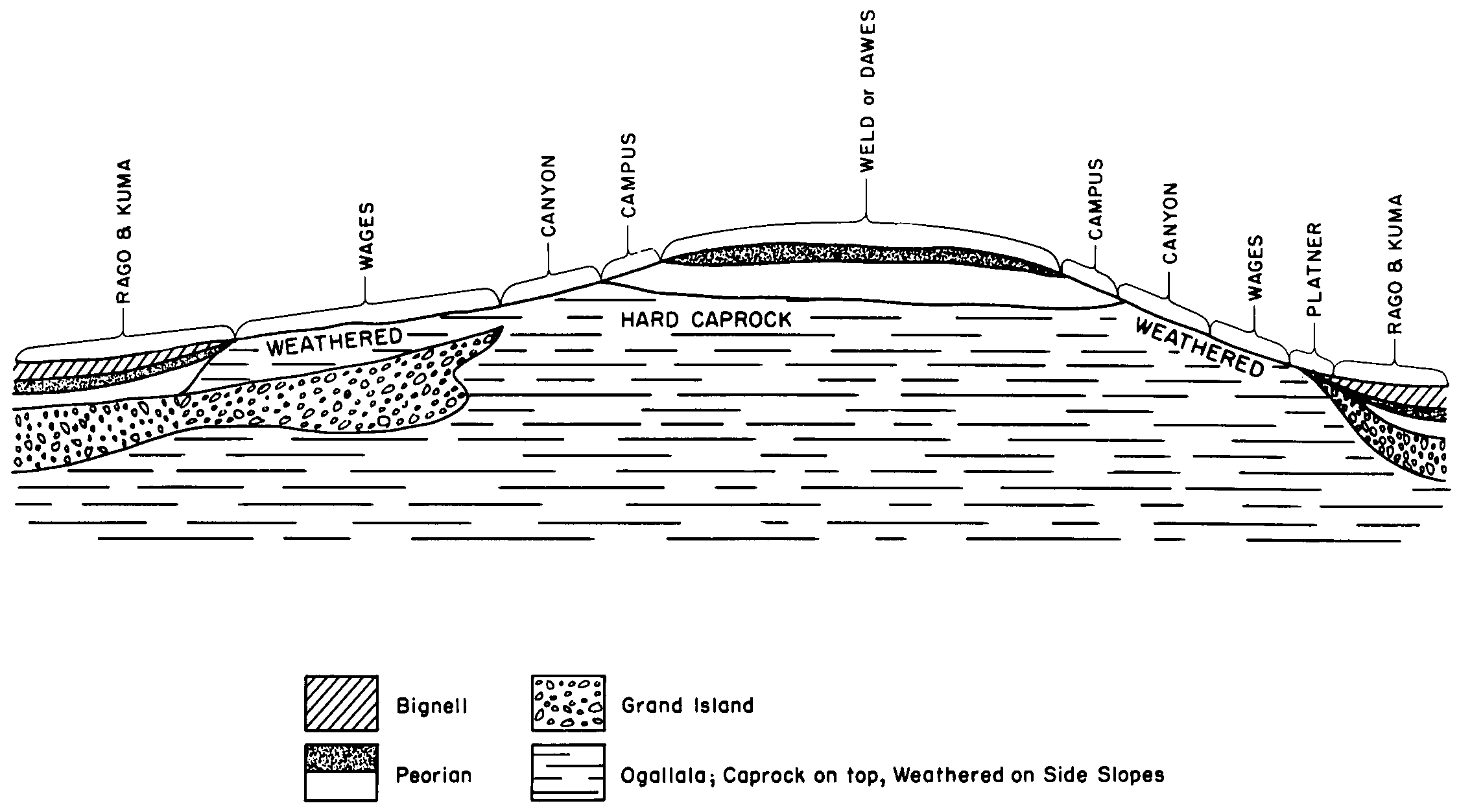
Rago and Kuma loams | Ra | 179426 | 94784 | 35mk | co095 | 1971 | 1:20000 |
Rago and kuma silt loams, 0 to 3 percent slopes | RaB | 77674 | 94954 | 35t1 | co115 | 1969 | 1:15840 |
Keith-Kuma silt loams, 0 to 3 percent slopes | KkB | 13640 | 94946 | 2s7w9 | co115 | 1969 | 1:15840 |
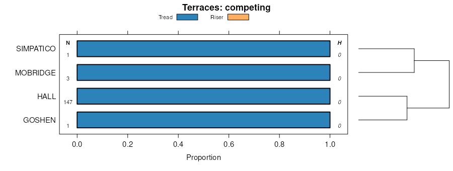
Keith, goshen, and kuma silt loams, 0 to 3 percent slopes | KgB | 6555 | 94945 | 35sr | co115 | 1969 | 1:15840 |
Rago and kuma silt loams, 3 to 5 percent slopes | RaC | 2092 | 94955 | 35t2 | co115 | 1969 | 1:15840 |
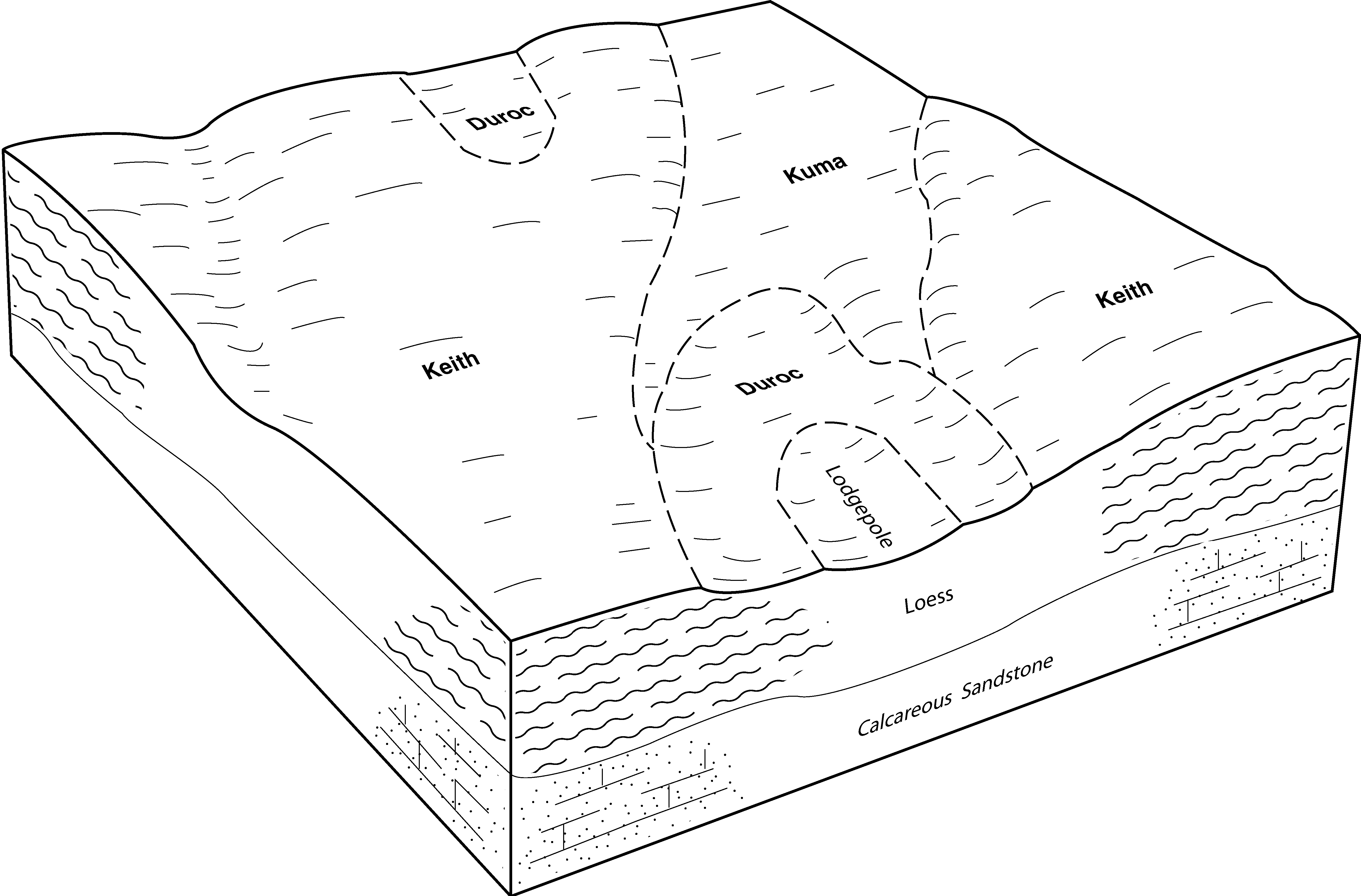
Keith-Kuma complex | 33 | 29049 | 94994 | 2s7wb | co121 | 1982 | 1:24000 |
Keith-Kuma very fine sandy loams | 32 | 8151 | 94993 | 2s7w7 | co121 | 1982 | 1:24000 |
Kuma-Keith silt loams | 25 | 158263 | 95068 | 35xq | co125 | 1976 | 1:24000 |
Kuma silt loam, 0 to 1 percent slopes | 1652 | 126976 | 1149570 | 2v9g4 | ks023 | 1987 | 1:24000 |
Kuma silt loam, 0 to 1 percent slopes | 1652 | 37721 | 1150681 | 2v9g4 | ks063 | 1974 | 1:24000 |
Kuma silt loam, 0 to 1 percent slopes | 1652 | 2272 | 1150524 | 2v9g4 | ks109 | 1962 | 1:24000 |
Kuma silt loam, 0 to 1 percent slopes | 1652 | 87564 | 772984 | 2v9g4 | ks153 | 1979 | 1:24000 |
Kuma silt loam, 0 to 1 percent slopes | 1652 | 14251 | 1703765 | 2v9g4 | ks171 | 1963 | 1:24000 |
Keith-Kuma silt loams, 0 to 1 percent slopes | 1622 | 13442 | 1703767 | 1v5x7 | ks171 | 1963 | 1:24000 |
Kuma silt loam, 0 to 1 percent slopes | 1652 | 22911 | 1150000 | 2v9g4 | ks179 | 1982 | 1:24000 |
Kuma silt loam, 0 to 1 percent slopes | 1652 | 17490 | 1149623 | 2v9g4 | ks181 | 1967 | 1:24000 |
Kuma-Keith silt loams, 0 to 2 percent slopes | 1655 | 8040 | 1149624 | 17l8n | ks181 | 1967 | 1:24000 |
Kuma silt loam, 0 to 1 percent slopes | 1652 | 47759 | 1150462 | 2v9g4 | ks193 | 1978 | 1:24000 |
Kuma silt loam, 0 to 1 percent slopes | 1652 | 13132 | 1150200 | 2v9g4 | ks199 | 1984 | 1:24000 |
Kuma-Keith silt loams, 0 to 2 percent slopes | 1655 | 64 | 1150201 | 17lw8 | ks199 | 1984 | 1:24000 |
Kuma silt loam, 0 to 1 percent slopes | 1652 | 18584 | 1699037 | 2v9g5 | ne029 | 1980 | 1:20000 |
Kuma silt loam, 1 to 3 percent slopes | 1653 | 5565 | 1699038 | 2wz9r | ne029 | 1980 | 1:20000 |
Kuma silt loam, 3 to 6 percent slopes | 1654 | 945 | 1699039 | 1v0zq | ne029 | 1980 | 1:20000 |
Kuma loam, 0 to 1 percent slopes | 1650 | 93469 | 1698692 | 2wz83 | ne033 | 1989 | 1:20000 |
Kuma loam, 0 to 1 percent slopes | 1650 | 2497 | 1698811 | 2wz83 | ne049 | 2000 | 1:24000 |
Kuma loam, 1 to 3 percent slopes | 1651 | 306 | 1698812 | 2wz93 | ne049 | 2000 | 1:24000 |
Kuma loam, 0 to 1 percent slopes | 1650 | 10294 | 1698755 | 2wz83 | ne069 | 1995 | 1:20000 |
Kuma loam, 1 to 3 percent slopes | 1651 | 35815 | 1698896 | 2wz93 | ne101 | 1990 | 1:20000 |
Kuma loam, 0 to 1 percent slopes | 1650 | 15166 | 1698895 | 2wz83 | ne101 | 1990 | 1:20000 |
Kuma silt loam, 1 to 3 percent slopes | 1653 | 2398 | 2219594 | 2wz9r | ne101 | 1990 | 1:20000 |
Kuma loam, 0 to 1 percent slopes | 1650 | 1838 | 1692548 | 2wz83 | ne105 | 2004 | 1:24000 |
Kuma loam, 1 to 3 percent slopes | 1651 | 625 | 2219731 | 2wz93 | ne111 | 1971 | 1:24000 |
Kuma silt loam, 1 to 3 percent slopes | 1653 | 179 | 2219732 | 2wz9r | ne111 | 1971 | 1:24000 |
Kuma loam, 0 to 1 percent slopes | 1650 | 44 | 2219730 | 2wz83 | ne111 | 1971 | 1:24000 |
Kuma silt loam, 0 to 1 percent slopes | 1652 | 28 | 2219776 | 2v9g5 | ne111 | 1971 | 1:24000 |
Kuma silt loam, 0 to 1 percent slopes | 1652 | 55130 | 1698973 | 2v9g5 | ne135 | 1987 | 1:20000 |
Kuma silt loam, 1 to 3 percent slopes | 1653 | 19820 | 1698974 | 2wz9r | ne135 | 1987 | 1:20000 |
Kuma loam, 0 to 1 percent slopes | 1650 | 8396 | 2219564 | 2wz83 | ne135 | 1987 | 1:20000 |
Kuma loam, 1 to 3 percent slopes | 1651 | 6360 | 2219565 | 2wz93 | ne135 | 1987 | 1:20000 |
Kuma loam, 1 to 8 percent slopes | KU | 3724 | 56670 | 1wz2 | nm636 | 1970 | 1:31680 |
Goshen-Kuma loams, 0 to 2 percent slopes | GkA | 2171 | 104699 | 3hyd | wy615 | 1965 | 1:20000 |


