| Heil silty clay loam, 0 to 1 percent slopes | E4729A | 2495 | 2525763 | 2r4fq | nd001 | 1983 | 1:20000 |
Heil silty clay loam, 0 to 1 percent slopes | E4729A | 451 | 2707112 | 2r4fq | nd007 | 1998 | 1:24000 |
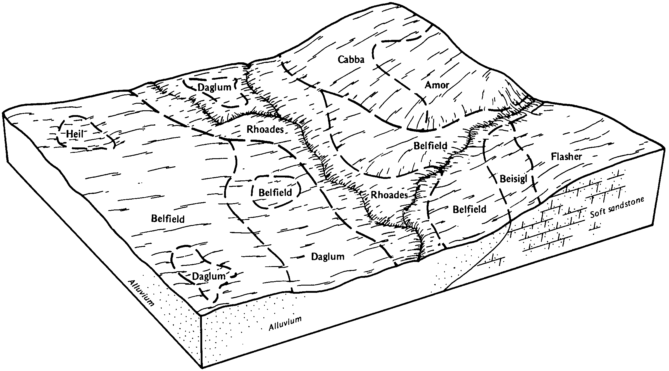
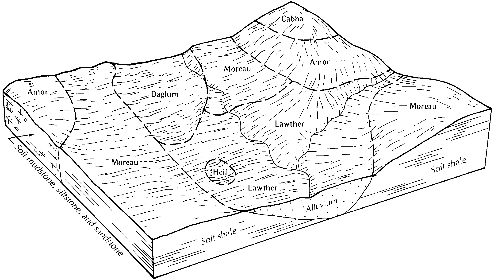
Heil silty clay loam, 0 to 1 percent slopes | E4729A | 2802 | 2563563 | 2r4fq | nd011 | 1969 | 1:20000 |
McKenzie and Heil silty clays, 0 to 1 percent slopes | Mo | 257 | 992867 | 12b4z | nd011 | 1969 | 1:20000 |
Heil silt loam, 0 to 1 percent slopes | 975 | 3858 | 341209 | cg1r | nd013 | 1991 | 1:24000 |
Heil silt loam, 0 to 1 percent slopes | C16A | 12 | 2567241 | 2q58v | nd013 | 1991 | 1:24000 |
Heil silt loam, 0 to 1 percent slopes | C16A | 626 | 2564163 | 2q58v | nd015 | 1967 | 1:20000 |
Heil silt loam, 0 to 1 percent slopes | 975 | 2034 | 341401 | cg7y | nd023 | 1992 | 1:24000 |
Heil silt loam, 0 to 1 percent slopes | C16A | 60 | 2567242 | 2q58v | nd023 | 1992 | 1:24000 |
Heil silty clay loam, 0 to 1 percent slopes | E4729A | 1833 | 2707262 | 2r4fq | nd025 | 1981 | 1:20000 |
Heil silt loam, 0 to 1 percent slopes | C16A | 1427 | 2595452 | 2q58v | nd029 | 1979 | 1:20000 |
Heil silty clay loam, 0 to 1 percent slopes | E4729A | 104 | 2661824 | 2r4fq | nd029 | 1979 | 1:20000 |
Heil silty clay loam, 0 to 1 percent slopes | E4729A | 2216 | 2525896 | 2r4fq | nd037 | 1985 | 1:20000 |
Heil silty clay loam, 0 to 1 percent slopes | E4729A | 4688 | 2525829 | 2r4fq | nd041 | 1986 | 1:20000 |
Heil silt loam, 0 to 1 percent slopes | C16A | 3 | 2596748 | 2q58v | nd051 | 1992 | 1:24000 |
Heil silty clay loam, 0 to 1 percent slopes | E4729A | 1577 | 2699364 | 2r4fq | nd053 | 2003 | 1:24000 |
Heil silt loam, 0 to 1 percent slopes | C16A | 176 | 2566700 | 2q58v | nd055 | 1974 | 1:20000 |
Heil silty clay loam, 0 to 1 percent slopes | E4729A | 529 | 2699272 | 2r4fq | nd057 | 1976 | 1:20000 |
Heil silty clay loam, 0 to 1 percent slopes | E4729A | 1063 | 2699173 | 2r4fq | nd059 | 1998 | 1:20000 |
Heil silty clay loam, 0 to 1 percent slopes | E4729A | 310 | 2526009 | 2r4fq | nd065 | 1971 | 1:20000 |
Heil silty clay loam, 0 to 1 percent slopes | E4729A | 1262 | 2699095 | 2r4fq | nd085 | 1992 | 1:24000 |
Heil silty clay loam, 0 to 1 percent slopes | E4729A | 2072 | 2715874 | 2r4fq | nd087 | 1974 | 1:20000 |
Heil silty clay loam, 0 to 1 percent slopes | E4729A | 1422 | 2716022 | 2r4fq | nd089 | 1965 | 1:20000 |
Heil silt loam, 0 to 1 percent slopes | C16A | 525 | 2566927 | 2q58v | nd101 | 1967 | 1:20000 |
Rimlap-Heil silt loams, 0 to 1 percent slopes | C031A | 7036 | 2765589 | 2w434 | sd013 | 1987 | 1:20000 |
Rimlap-Heil, till substratum silt loams, 0 to 1 percent slopes | G019A | 5199 | 2797742 | 2sd1v | sd013 | 1987 | 1:20000 |
Miranda-Heil complex, 0 to 3 percent slopes | C558A | 2991 | 2765596 | 2rrqx | sd013 | 1987 | 1:20000 |
Ferney-Heil, till substratum complex, 0 to 3 percent slopes | G133A | 1433 | 2797721 | 2sd0v | sd013 | 1987 | 1:20000 |
Heil silt loam, 0 to 1 percent slopes | C020A | 1405 | 2765614 | 2q58v | sd013 | 1987 | 1:20000 |
Heil silt loam, till substratum, 0 to 1 percent slopes | G017A | 1130 | 2797733 | 2sd1f | sd013 | 1987 | 1:20000 |
Aberdeen-Nahon-Heil silt loams, 0 to 2 percent slopes | G475A | 846 | 2797776 | 2sd3l | sd013 | 1987 | 1:20000 |
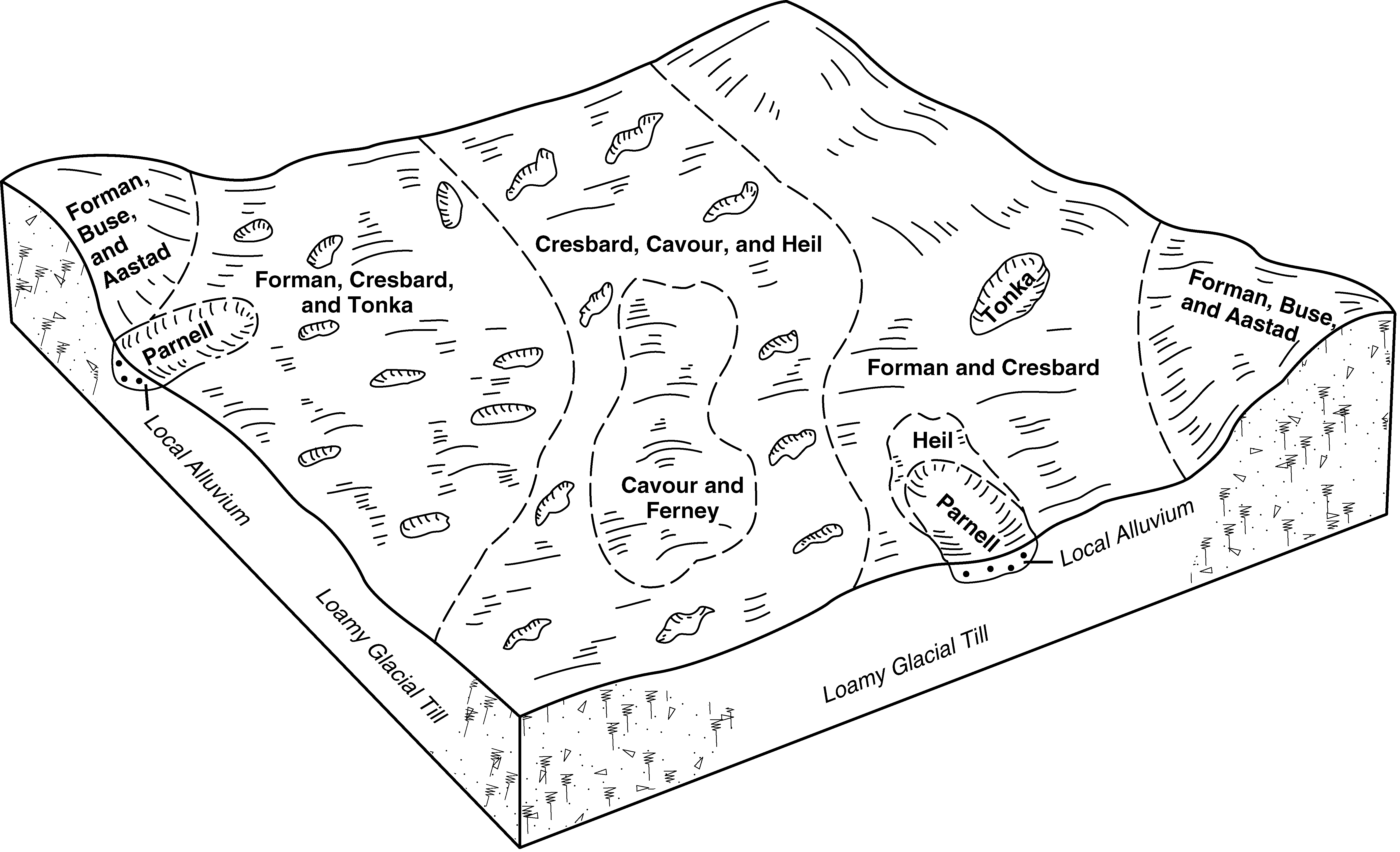
Cresbard-Cavour-Heil complex, 0 to 3 percent slopes | G126A | 54 | 2797716 | 2q5cx | sd013 | 1987 | 1:20000 |
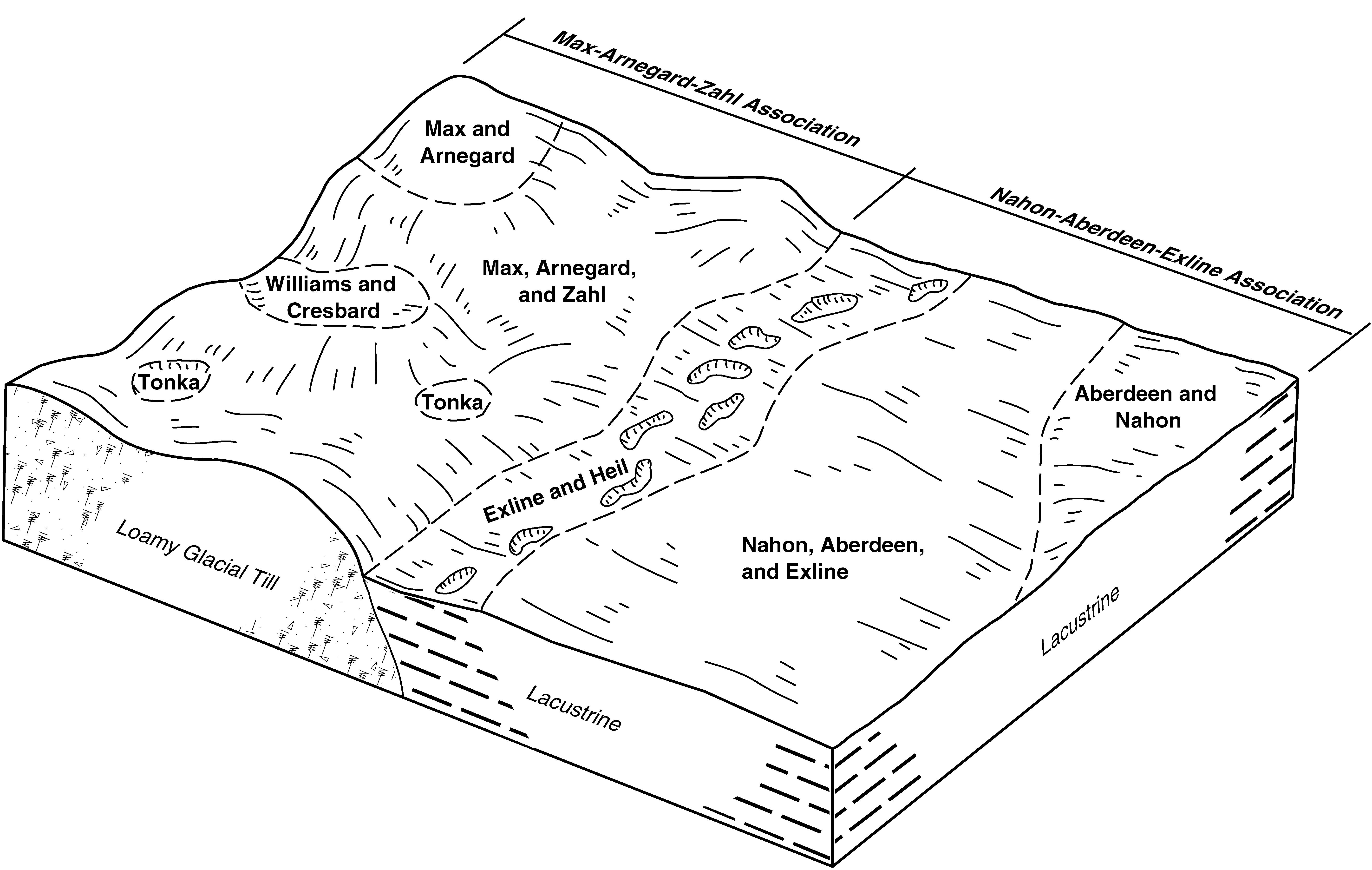
Exline-Heil silt loams, 0 to 2 percent slopes | G848A | 3 | 2797828 | 2sd6d | sd013 | 1987 | 1:20000 |
Heil silt loam, 0 to 1 percent slopes | C020A | 1505 | 2797951 | 2q58v | sd021 | 1978 | 1:20000 |
Heil silt loam, till substratum, 0 to 1 percent slopes | G017A | 504 | 2797997 | 2sd1f | sd025 | 1992 | 1:20000 |
Cresbard-Cavour-Heil complex, 0 to 3 percent slopes | G126A | 92 | 2797989 | 2q5cx | sd025 | 1992 | 1:20000 |
Heil silt loam | Hs | 6139 | 356172 | cymf | sd031 | 1986 | 1:24000 |
Heil soils | Hc | 12406 | 354198 | cwkr | sd041 | 1972 | 1:24000 |
Heil silt loam, 0 to 1 percent slopes | C020A | 15263 | 2798617 | 2q58v | sd045 | 1973 | 1:20000 |
Mondamin-Heil complex, 0 to 2 percent slopes | C430A | 3307 | 2798594 | 2rrqd | sd045 | 1973 | 1:20000 |
Rimlap-Heil silt loams, 0 to 1 percent slopes | C031A | 16 | 2798592 | 2w434 | sd045 | 1973 | 1:20000 |
Heil silt loam, 0 to 1 percent slopes | C020A | 4587 | 2798682 | 2q58v | sd049 | 1981 | 1:20000 |
Heil silt loam | Hk | 1587 | 355753 | cy5x | sd063 | 1984 | 1:24000 |
Miranda-Heil complex, 0 to 3 percent slopes | C558A | 4643 | 2798766 | 2rrqx | sd089 | 1980 | 1:20000 |
Heil silt loam, 0 to 1 percent slopes | C020A | 4521 | 2798784 | 2q58v | sd089 | 1980 | 1:20000 |
Rimlap-Heil silt loams, 0 to 1 percent slopes | C031A | 2336 | 2798758 | 2w434 | sd089 | 1980 | 1:20000 |
Ferney-Heil, till substratum complex, 0 to 3 percent slopes | G133A | 1583 | 2799230 | 2sd0v | sd089 | 1980 | 1:20000 |
Rimlap-Heil, till substratum silt loams, 0 to 1 percent slopes | G019A | 606 | 2799239 | 2sd1v | sd089 | 1980 | 1:20000 |
Heil silt loam, till substratum, 0 to 1 percent slopes | G017A | 112 | 2799233 | 2sd1f | sd089 | 1980 | 1:20000 |
Dimmick and Heil soils | Db | 6367 | 354624 | cx0h | sd105 | 1977 | 1:24000 |
Heil silt loam, 0 to 1 percent slopes | C020A | 141 | 2799485 | 2q58v | sd107 | 1983 | 1:20000 |
Cresbard-Cavour-Heil complex, 0 to 3 percent slopes | G126A | 18517 | 2799569 | 2q5cx | sd115 | 1997 | 1:24000 |
Aberdeen-Nahon-Heil silt loams, 0 to 2 percent slopes | G475A | 16006 | 2799599 | 2sd3l | sd115 | 1997 | 1:24000 |
Exline-Heil silt loams, 0 to 2 percent slopes | G848A | 15912 | 2800045 | 2sd6d | sd115 | 1997 | 1:24000 |
Ferney-Heil, till substratum complex, 0 to 3 percent slopes | G133A | 8880 | 2799570 | 2sd0v | sd115 | 1997 | 1:24000 |
Heil silt loam, till substratum, 0 to 1 percent slopes | G017A | 4591 | 2799577 | 2sd1f | sd115 | 1997 | 1:24000 |
Aberdeen-Nahon-Heil silt loams, till substratum, 0 to 2 percent slopes | G476A | 2589 | 2799600 | 2sd3m | sd115 | 1997 | 1:24000 |
Niobell-Noonan-Heil complex, 0 to 3 percent slopes | C668A | 1570 | 2799520 | 2rrr6 | sd115 | 1997 | 1:24000 |
Exline-Heil silt loams, till substratum, 0 to 2 percent slopes | G849A | 1368 | 2800046 | 2sd6f | sd115 | 1997 | 1:24000 |
Heil silt loam, 0 to 1 percent slopes | C020A | 728 | 2799525 | 2q58v | sd115 | 1997 | 1:24000 |
Miranda-Heil complex, 0 to 3 percent slopes | C558A | 538 | 2799516 | 2rrqx | sd115 | 1997 | 1:24000 |
Heil silt loam, 0 to 1 percent slopes | Hr | 41 | 356652 | cz3x | sd115 | 1997 | 1:24000 |
Heil silt loam, 0 to 1 percent slopes | C020A | 69 | 2800154 | 2q58v | sd129 | 1975 | 1:20000 |
Heil silt loam | He | 7066 | 355846 | cy8x | sd137 | 1985 | 1:24000 |
Heil variant silty clay loam, ponded | Hn | 661 | 355847 | cy8y | sd137 | 1985 | 1:24000 |
Heil silty clay loam | He | 1900 | 355443 | cxvx | sd601 | 1983 | 1:24000 |
