| Pamlico and Croatan mucks | 14 | 5126 | 631626 | p681 | fl007 | 1988 | 1:15840 |
Pamlico and Croatan mucks, frequently flooded | 37 | 2550 | 631644 | p68m | fl007 | 1988 | 1:15840 |
Croatan, Surrency, and Pantego soils, depressional | 54 | 33661 | 1481039 | 1lq4g | fl013 | 1997 | 1:20000 |
Croatan, Kinston, and Surrency soils, frequently flooded | 68 | 16031 | 1481053 | 1lq4x | fl013 | 1997 | 1:20000 |
Croatan, Rutlege, and Surrency soils, depressional | 60 | 6962 | 1481045 | 1lq4n | fl013 | 1997 | 1:20000 |
Croatan and Pickney soils, depressional | 5 | 8420 | 1425313 | 1jv4v | fl033 | 1998 | 1:24000 |
Croatan muck, depressional | 12 | 1140 | 1425320 | 1jv52 | fl033 | 1998 | 1:24000 |
Croatan-Surrency complex, frequently flooded | 45 | 15440 | 1472765 | 1lfjk | fl045 | 1997 | 1:24000 |
Dorovan-Croatan complex, depressional | 13 | 3076 | 1472734 | 1lfhk | fl045 | 1997 | 1:24000 |
Surrency, Pantego, and Croatan soils, depressional | 57 | 25605 | 322747 | btv6 | fl077 | 2004 | 1:24000 |
Torhunta-Lynn Haven-Croatan complex, frequently flooded | 47 | 23965 | 322736 | bttv | fl077 | 2004 | 1:24000 |
Croatan muck, frequently flooded | 34 | 2450 | 132922 | 4g9t | fl089 | 1989 | 1:15840 |
Surrency, Starke, and Croatan soils, depressional | 28 | 16670 | 1425222 | 1jv1x | fl123 | 1998 | 1:24000 |
Pamlico and Croatan mucks | 14 | 8470 | 1414578 | 1jgzk | fl125 | 1989 | 1:15840 |
Pamlico and Croatan mucks, frequently flooded | 37 | 2860 | 1414602 | 1jh0b | fl125 | 1989 | 1:15840 |
Croatan-Dorovan mucks | 16 | 60090 | 1399042 | 1hytd | fl129 | 1988 | 1:24000 |
Meggett and Croatan soils, frequently flooded | 52 | 6660 | 1399079 | 1hyvl | fl129 | 1988 | 1:24000 |
Grady and Croatan soils, 0 to 2 percent slopes, ponded | GCA | 12855 | 2580370 | 2qdy0 | ga251 | 2011 | 1:24000 |
Dasher-Dorovan-Croatan association, ponded, 0 to 1 percent slopes | DDA | 139330 | 2408352 | 2sxqy | ga299 | 2008 | 1:24000 |
Croatan, Pamlico, and Surrency soils, ponded, 0 to 1 percent slopes, rarely flooded | CPA | 24670 | 2408351 | 2lv2r | ga299 | 2008 | 1:24000 |
Dasher-Dorovan-Croatan association, ponded, 0 to 1 percent slopes | DDA | 156705 | 2686761 | 2sxqy | ga611 | 2012 | 1:24000 |
Croatan, Pamlico and Surrency soils, ponded, 0 to 1 percent slopes, rarely flooded | CPA | 10775 | 2686754 | 2rz85 | ga611 | 2012 | 1:24000 |
Dasher-Dorovan-Croatan association, ponded, 0 to 1 percent slopes | DDA | 24003 | 2686803 | 2sxqy | ga626 | 2013 | 1:24000 |
Croatan, Pamlico and Surrency soils, ponded, 0 to 1 percent slopes, rarely flooded | CPA | 11339 | 2686802 | 2rz85 | ga626 | 2013 | 1:24000 |
Croatan and Johnston soils, 0 to 2 percent slopes, frequently flooded | 88 | 39918 | 332606 | c537 | ms059 | 1997 | 1:24000 |
Dorovan and Pamlico mucks (dorovan and croatan) | Dp | 5401 | 332850 | c5c3 | ms073 | 1969 | 1:20000 |
Dorovan-Croatan association, frequently flooded | DC | 2639 | 333117 | c5mq | ms091 | 1983 | 1:20000 |
Johnston-Croatan complex, frequently flooded | Jt | 2421 | 333125 | c5mz | ms091 | 1983 | 1:20000 |
Dorovan-Croatan association | DC | 17531 | 333537 | c628 | ms109 | 1980 | 1:20000 |
Dorovan and Croatan soils, ponded | DO | 4144 | 333602 | c64c | ms111 | 1997 | 1:20000 |
Johnston and Croatan soils, frequently flooded | 13 | 5502 | 334085 | c6my | ms131 | 1997 | 1:24000 |
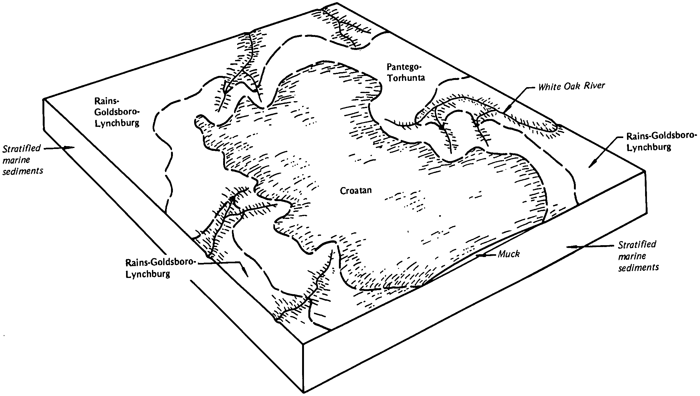
Croatan muck | Ct | 11344 | 111561 | 3r2r | nc013 | 1986 | 1:24000 |
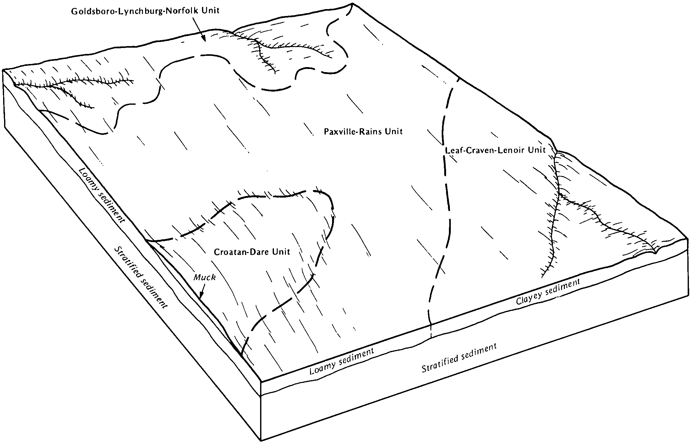
Croatan muck, ponded, 0 to 2 percent slopes | Cr | 10697 | 115477 | 2tn9n | nc017 | 1983 | 1:24000 |
Croatan muck, frequently flooded | CT | 8047 | 115470 | 3w4v | nc017 | 1983 | 1:24000 |
Croatan muck, ponded, 0 to 2 percent slopes | CT | 28383 | 115534 | 2tn9n | nc019 | 1983 | 1:24000 |
Croatan muck | CT | 20084 | 115578 | 3w8b | nc031 | 1984 | 1:24000 |
Croatan muck, ponded, 0 to 2 percent slopes | Ct | 20664 | 115639 | 2tn9n | nc047 | 1986 | 1:24000 |
Croatan muck, ponded, 0 to 2 percent slopes | CT | 24740 | 115735 | 2tn9n | nc049 | 1984 | 1:24000 |
Croatan muck, ponded, 0 to 2 percent slopes | CT | 12263 | 811075 | 2tn9n | nc051 | 1981 | 1:24000 |
Croatan muck, ponded, 0 to 2 percent slopes | CtA | 5886 | 1865954 | 2tn9n | nc061 | 1955 | 1:24000 |
Croatan muck, ponded, 0 to 2 percent slopes | Ct | 42056 | 115964 | 2tn9n | nc103 | 1979 | 1:24000 |
Croatan muck, rarely flooded | Ct | 197 | 111127 | 3qmr | nc117 | 1985 | 1:24000 |
Croatan muck, ponded, 0 to 2 percent slopes | Ct | 33207 | 116075 | 2tn9n | nc133 | 1984 | 1:24000 |
Croatan muck | CT | 6696 | 116120 | 3wtt | nc137 | 1984 | 1:24000 |
Croatan muck, ponded, 0 to 2 percent slopes | Ct | 57837 | 116162 | 2tn9n | nc141 | 1986 | 1:24000 |
Ponzer muck, siliceous subsoil variant (Croatan) | Pr | 1566 | 114787 | 3vft | nc155 | 1972 | 1:20000 |

