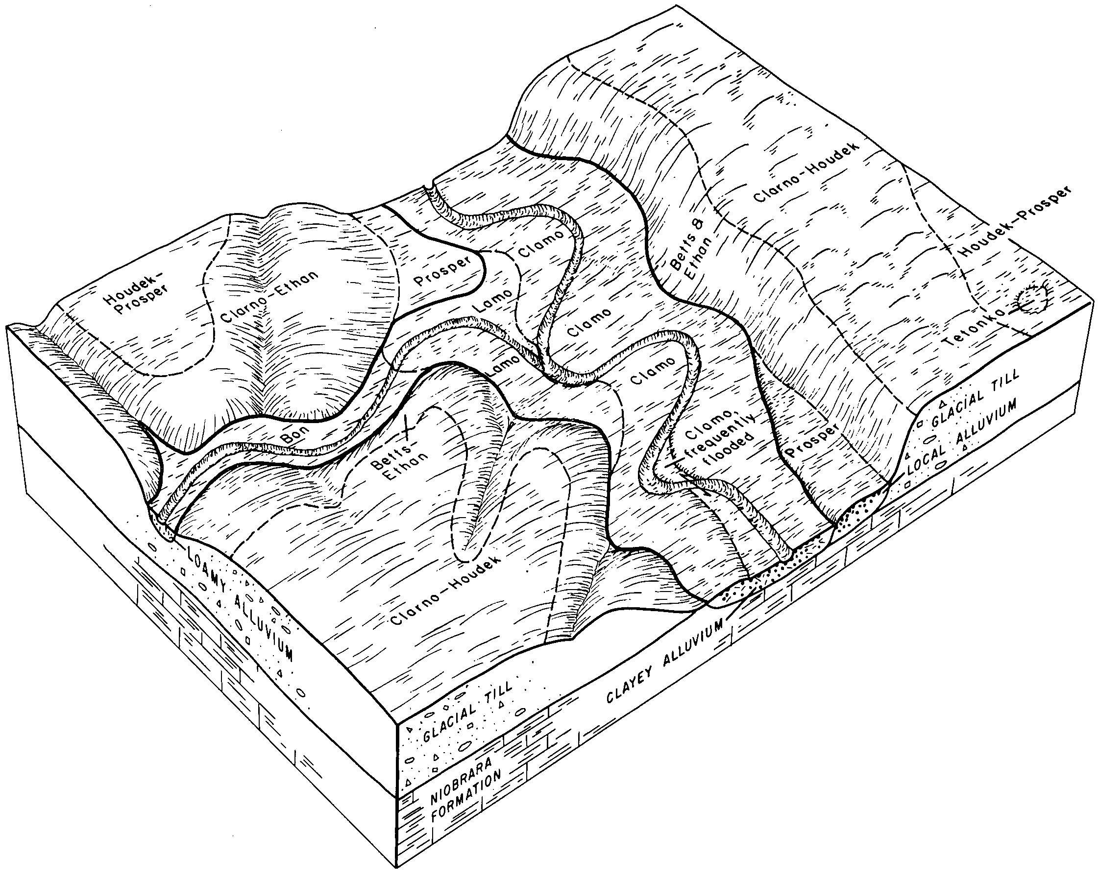
| Bon loam, channeled, 0 to 2 percent slopes, frequently flooded | Bx | 5659 | 354833 | 2wkpn | sd003 | 1979 | 1:20000 |
Bon loam, 0 to 2 percent slopes, rarely flooded | Bo | 1395 | 354832 | 2wkpm | sd003 | 1979 | 1:20000 |
Bon loam, channeled, 0 to 2 percent slopes, frequently flooded | Bx | 10136 | 354554 | 2wkpn | sd005 | 1976 | 1:20000 |
Bon loam, 0 to 2 percent slopes, rarely flooded | La | 4731 | 354589 | 2wkpm | sd005 | 1976 | 1:20000 |
Bon loam, channeled, 0 to 2 percent slopes, frequently flooded | Bo | 7155 | 418249 | 2wkpn | sd009 | 1981 | 1:20000 |
Bon loam, 0 to 2 percent slopes, rarely flooded | Bn | 4248 | 418248 | 2wkpm | sd009 | 1981 | 1:20000 |
Bon loam, channeled, 0 to 2 percent slopes, frequently flooded | Bo | 7753 | 355008 | 2wkpn | sd023 | 1980 | 1:20000 |
Bon loam, 0 to 2 percent slopes, rarely flooded | Bn | 4335 | 355007 | 2wkpm | sd023 | 1980 | 1:20000 |
Bon loam, 0 to 2 percent slopes, rarely flooded | Bn | 495 | 417695 | 2wkpm | sd025 | 1992 | 1:20000 |
Bon loam, channeled, 0 to 2 percent slopes, frequently flooded | Bo | 384 | 417696 | 2wkpn | sd025 | 1992 | 1:20000 |
Ethan-Bon, channeled, loams, 0 to 20 percent slopes | EoD | 101 | 417723 | g0ny | sd025 | 1992 | 1:20000 |
Ethan-Bon, channeled, loams, 0 to 20 percent slopes | EpD | 2876 | 445563 | gyn0 | sd027 | 1995 | 1:24000 |
Ethan-Clarno-Bon, channeled, loams, 0 to 9 percent slopes | EtC | 2160 | 445568 | gyn5 | sd027 | 1995 | 1:24000 |
Bon loam, 0 to 2 percent slopes, occasionally flooded | Bm | 1792 | 445534 | 2vwbn | sd027 | 1995 | 1:24000 |
Ethan-Clarno-Bon loams 0 to 6 percent slopes | EsB | 1500 | 445567 | gyn4 | sd027 | 1995 | 1:24000 |
Ethan-Bon, channeled, loams, 0 to 40 percent slopes | EpE | 1495 | 445564 | gyn1 | sd027 | 1995 | 1:24000 |
Bon loam, channeled, 0 to 2 percent slopes, frequently flooded | Bn | 939 | 445535 | 2wkpn | sd027 | 1995 | 1:24000 |
Bon loam, channeled, 0 to 2 percent slopes, frequently flooded | Aa | 6026 | 352898 | 2wkpn | sd035 | 1966 | 1:20000 |
Bon loam, 0 to 2 percent slopes, rarely flooded | BoA | 1426 | 352905 | 2wkpm | sd035 | 1966 | 1:20000 |
Bon loam, channeled, 0 to 2 percent slopes, frequently flooded | Bo | 3779 | 354880 | 2wkpn | sd043 | 1979 | 1:20000 |
Bon loam, 0 to 2 percent slopes, rarely flooded | Bn | 1186 | 354879 | 2wkpm | sd043 | 1979 | 1:20000 |
Bon loam, 0 to 2 percent slopes, rarely flooded | La | 749 | 355173 | 2wkpm | sd049 | 1981 | 1:20000 |
Bon loam, channeled, 0 to 2 percent slopes, frequently flooded | Lb | 620 | 355174 | 2wkpn | sd049 | 1981 | 1:20000 |
Bon loam, channeled, 0 to 2 percent slopes, frequently flooded | Bc | 12035 | 355227 | 2wkpn | sd053 | 1982 | 1:20000 |
Bon loam, 0 to 2 percent slopes, rarely flooded | Bb | 2921 | 355226 | 2wkpm | sd053 | 1982 | 1:20000 |
Bon loam, 0 to 2 percent slopes, rarely flooded | LbA | 18825 | 352632 | 2wkpm | sd059 | 1959 | 1:20000 |
Bon-Northville complex, nearly level | LeA | 9930 | 352635 | ctyb | sd059 | 1959 | 1:20000 |
Bon loam, channeled, 0 to 2 percent slopes, frequently flooded | LlA | 7742 | 352636 | 2wkpn | sd059 | 1959 | 1:20000 |
Durrstein-Bon complex, nearly level | HdA | 1993 | 352611 | ctxk | sd059 | 1959 | 1:20000 |
Bon loam, 0 to 2 percent slopes, rarely flooded | Bo | 3549 | 353267 | 2wkpm | sd065 | 1970 | 1:20000 |
Bon loam, channeled, 0 to 2 percent slopes, frequently flooded | Bn | 783 | 353783 | 2wkpn | sd069 | 1992 | 1:20000 |
Bon loam, channeled, 0 to 2 percent slopes, frequently flooded | Bv | 5397 | 356410 | 2wkpn | sd073 | 1987 | 1:20000 |
Bon loam, 0 to 2 percent slopes, rarely flooded | Br | 3598 | 356409 | 2wkpm | sd073 | 1987 | 1:20000 |
Ethan-Bon, channeled, loams, 0 to 20 percent slopes | EoD | 4554 | 417481 | g0f4 | sd077 | 1992 | 1:20000 |
Bon loam, channeled, 0 to 2 percent slopes, frequently flooded | Bo | 4242 | 417458 | 2wkpn | sd077 | 1992 | 1:20000 |
Bon loam, 0 to 2 percent slopes, rarely flooded | Bn | 1442 | 417457 | 2wkpm | sd077 | 1992 | 1:20000 |
Bon soils, frequently flooded | Bo | 2074 | 416624 | fzjh | sd083 | 1971 | 1:20000 |
Bon loam, channeled, 0 to 2 percent slopes, frequently flooded | Ca | 5422 | 418009 | 2wkpn | sd087 | 1976 | 1:20000 |
Bon loam, 0 to 2 percent slopes, rarely flooded | Bo | 2685 | 418008 | 2wkpm | sd087 | 1976 | 1:20000 |
Bon loam, channeled, 0 to 2 percent slopes, frequently flooded | Bo | 5826 | 355383 | 2wkpn | sd097 | 1983 | 1:20000 |
Bon loam, 0 to 2 percent slopes, rarely flooded | Bn | 4281 | 355382 | 2wkpm | sd097 | 1983 | 1:20000 |
Bon loam, 0 to 2 percent slopes, occasionally flooded | Bo | 4099 | 446005 | 2vwbn | sd099 | 1995 | 1:24000 |
Bon loam, 0 to 2 percent slopes, occasionally flooded | Bo | 3076 | 418306 | 2vwbn | sd101 | 1985 | 1:20000 |
Bon loam, channeled, 0 to 2 percent slopes, frequently flooded | Bv | 1411 | 355316 | 2wkpn | sd107 | 1983 | 1:20000 |
Bon loam, 0 to 2 percent slopes, rarely flooded | Bo | 791 | 355315 | 2wkpm | sd107 | 1983 | 1:20000 |
Bon loam, channeled, 0 to 2 percent slopes, frequently flooded | Bd | 1642 | 354759 | 2wkpn | sd111 | 1978 | 1:20000 |
Bon loam, 0 to 2 percent slopes, rarely flooded | Bu | 2585 | 356572 | 2wkpm | sd115 | 1997 | 1:24000 |
Bon loam, channeled, 0 to 2 percent slopes, frequently flooded | Bw | 2150 | 356573 | 2wkpn | sd115 | 1997 | 1:24000 |
Bon loam, channeled, 0 to 2 percent slopes, frequently flooded | Cc | 6613 | 418210 | 2wkpn | sd125 | 1980 | 1:20000 |
Bon loam, 0 to 2 percent slopes, rarely flooded | Ro | 6529 | 418238 | 2wkpm | sd125 | 1980 | 1:20000 |
Bon loam, 0 to 2 percent slopes, rarely flooded | Bn | 200 | 354475 | 2wkpm | sd129 | 1975 | 1:20000 |
Bon loam, channeled, 0 to 2 percent slopes, frequently flooded | Rb | 3059 | 418100 | 2wkpn | sd135 | 1977 | 1:20000 |
Bon loam, 0 to 2 percent slopes, occasionally flooded | Bm | 2518 | 418058 | 2vwbn | sd135 | 1977 | 1:20000 |
Ethan-Bon, channeled, loams, 0 to 20 percent slopes | EsD | 14 | 418124 | g12w | sd135 | 1977 | 1:20000 |
Bon loam, channeled, 0 to 2 percent slopes, frequently flooded | Cb | 16751 | 417941 | 2wkpn | sd602 | 1975 | 1:20000 |
Bon loam, 0 to 2 percent slopes, rarely flooded | Bo | 1254 | 417939 | 2wkpm | sd602 | 1975 | 1:20000 |
Bon loam, 0 to 2 percent slopes, rarely flooded | Bn | 3442 | 355486 | 2wkpm | sd603 | 1983 | 1:20000 |
Bon loam, channeled, 0 to 2 percent slopes, frequently flooded | Bo | 3233 | 355487 | 2wkpn | sd603 | 1983 | 1:20000 |