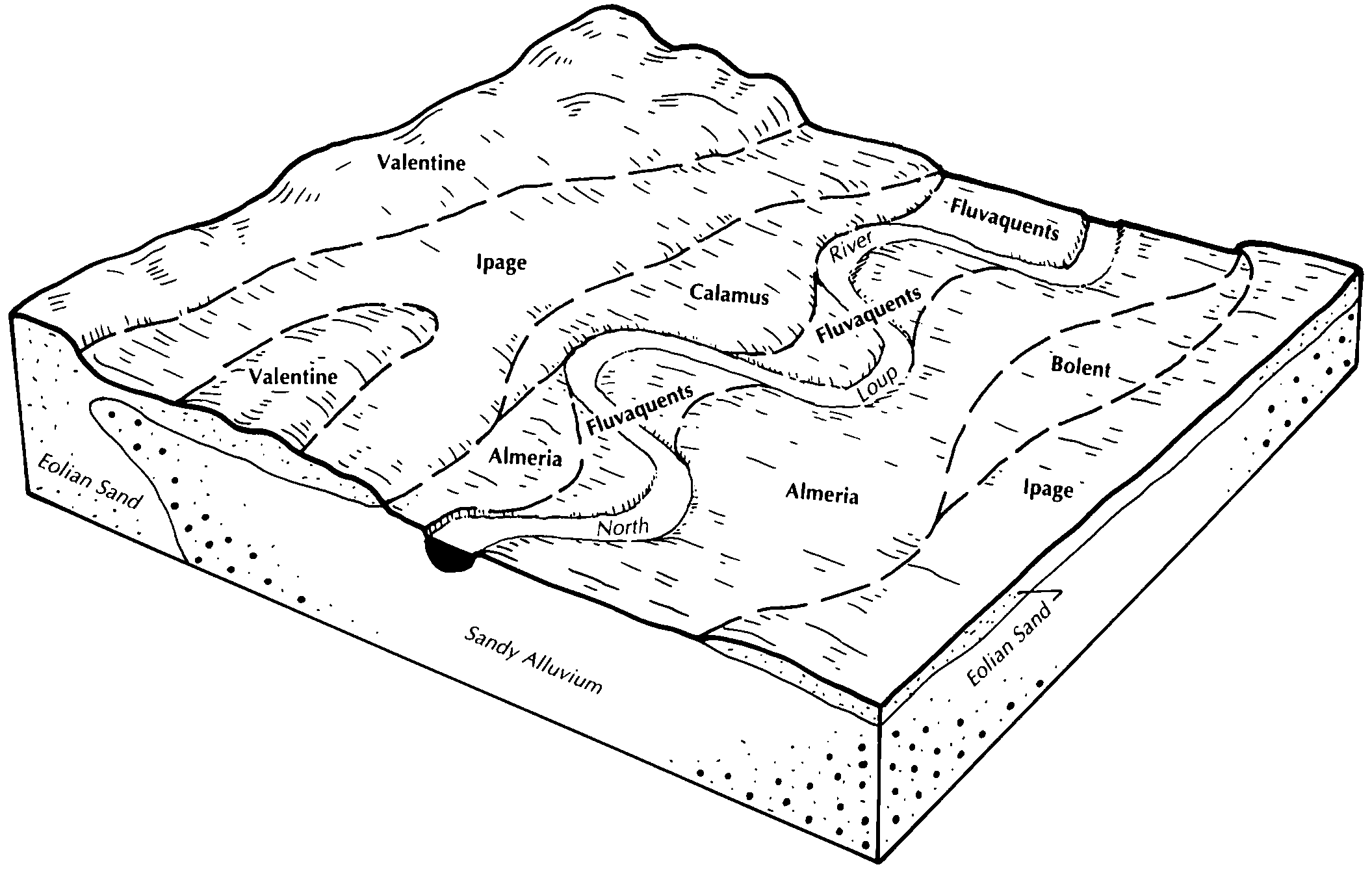
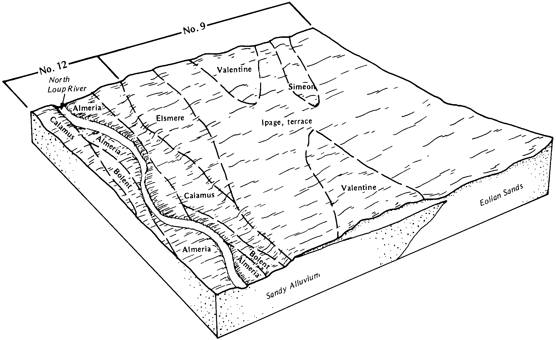
| Almeria loamy fine sand, occasionally flooded, 0 to 2 percent slopes | 4204 | 1943 | 1699470 | 2s80l | ne009 | 1988 | 1:20000 |
Almeria loamy fine sand, wet, occasionally flooded | 4206 | 1585 | 1699471 | 1v1fn | ne009 | 1988 | 1:20000 |
Almeria loamy fine sand, channeled, frequently flooded, 0 to 2 percent slopes | 4205 | 726 | 1699472 | 2s80k | ne009 | 1988 | 1:20000 |
Almeria fine sandy loam, occasionally flooded, 0 to 2 percent slopes | 4201 | 359 | 2219150 | 2s80c | ne009 | 1988 | 1:20000 |
Almeria-Histosols complex, channeled, frequently flooded | 4208 | 1915 | 99974 | 2zzbp | ne017 | 1987 | 1:20000 |
Almeria fine sandy loam, occasionally flooded, 0 to 2 percent slopes | 4201 | 710 | 99973 | 2s80c | ne017 | 1987 | 1:20000 |
Almeria loamy fine sand, occasionally flooded, 0 to 2 percent slopes | 4204 | 638 | 99972 | 2s80l | ne017 | 1987 | 1:20000 |
Almeria loamy fine sand, channeled, frequently flooded, 0 to 2 percent slopes | 4205 | 222 | 2219168 | 2s80k | ne017 | 1987 | 1:20000 |
Almeria loamy fine sand, channeled, frequently flooded, 0 to 2 percent slopes | 4205 | 11546 | 100342 | 2s80k | ne031 | 1995 | 1:24000 |
Almeria fine sandy loam, occasionally flooded, 0 to 2 percent slopes | 4201 | 4619 | 100343 | 2s80c | ne031 | 1995 | 1:24000 |
Almeria fine sandy loam, wet, occasionally flooded | 4203 | 1159 | 100344 | 3cdx | ne031 | 1995 | 1:24000 |
Bolent-Almeria complex, channeled, frequently flooded | 4226 | 56 | 2668663 | 2zzbt | ne031 | 1995 | 1:24000 |
Almeria loamy fine sand, channeled, frequently flooded, 0 to 2 percent slopes | 4205 | 4 | 2228177 | 2s80k | ne041 | 1980 | 1:20000 |
Bolent-Almeria complex, channeled, frequently flooded | 4226 | 8655 | 1699083 | 1v114 | ne057 | 1995 | 1:24000 |
Almeria fine sandy loam, channeled, frequently flooded, 0 to 2 percent slopes | 4200 | 3850 | 1698722 | 2s80f | ne069 | 1995 | 1:20000 |
Almeria fine sandy loam, channeled, frequently flooded, 0 to 2 percent slopes | 4200 | 10 | 2219261 | 2s80f | ne071 | 1984 | 1:20000 |
Almeria loamy fine sand, channeled, frequently flooded, 0 to 2 percent slopes | 4205 | 474 | 2219275 | 2s80k | ne075 | 1973 | 1:24000 |
Almeria loamy fine sand, channeled, frequently flooded, 0 to 2 percent slopes | 4205 | 882 | 1699922 | 2s80k | ne077 | 1987 | 1:20000 |
Almeria loamy sand, frequently flooded | 4207 | 52 | 1700098 | 1v22w | ne079 | 2003 | 1:12000 |
Bolent-Almeria complex, channeled, frequently flooded | 4226 | 64 | 2228848 | 2dt9b | ne087 | 1965 | 1:20000 |
Almeria-Calamus complex, channeled, frequently flooded | 4210 | 5130 | 100160 | 2zzbm | ne089 | 1981 | 1:20000 |
Bolent-Almeria complex, channeled, frequently flooded | 4226 | 949 | 2605705 | 2zzbt | ne091 | 1961 | 1:24000 |
Almeria-fluvaquents, sandy complex, channeled, frequently flooded | 4211 | 270 | 2668685 | 2zzbn | ne091 | 1961 | 1:24000 |
Almeria soils, occasionally flooded | 4258 | 6379 | 99689 | 3bqs | ne093 | 1968 | 1:12000 |
Almeria loam, occasionally flooded | 4213 | 2161 | 99748 | 3bsp | ne093 | 1968 | 1:12000 |
Almeria loamy fine sand, occasionally flooded | 4204 | 14 | 2217596 | 2dflc | ne103 | 1977 | 1:20000 |
Almeria-fluvaquents, sandy complex, channeled, frequently flooded | 4211 | 397 | 2219704 | 2zzbn | ne111 | 1971 | 1:24000 |
Almeria fine sandy loam, frequently ponded | 4212 | 1834 | 1699391 | 1v1c2 | ne113 | 1969 | 1:24000 |
Almeria fine sandy loam, channeled, frequently flooded, 0 to 2 percent slopes | 4200 | 1539 | 1699516 | 2s80f | ne115 | 1986 | 1:20000 |
Almeria loamy fine sand, occasionally flooded, 0 to 2 percent slopes | 4204 | 491 | 1699514 | 2s80l | ne115 | 1986 | 1:20000 |
Almeria loamy fine sand, wet, occasionally flooded | 4206 | 389 | 1699515 | 1v1h2 | ne115 | 1986 | 1:20000 |
Almeria-Histosols complex, channeled, frequently flooded | 4208 | 16 | 2219828 | 2zzbp | ne115 | 1986 | 1:20000 |
Almeria-fluvaquents, sandy complex, channeled, frequently flooded | 4211 | 322 | 1700206 | 2zzbn | ne117 | 1966 | 1:31680 |
Almeria loamy fine sand, occasionally flooded, 0 to 2 percent slopes | 4204 | 226 | 2219831 | 2s80l | ne149 | 1982 | 1:20000 |
Almeria fine sandy loam, channeled, frequently flooded, 0 to 2 percent slopes | 4200 | 106 | 2219843 | 2s80f | ne149 | 1982 | 1:20000 |
Almeria loamy fine sand, channeled, frequently flooded, 0 to 2 percent slopes | 4205 | 1449 | 100560 | 2s80k | ne161 | 1992 | 1:20000 |
Almeria soils, occasionally flooded | 4258 | 28 | 2228868 | 2dt9z | ne163 | 1987 | 1:20000 |
Almeria loam, occasionally flooded | 4213 | 8 | 2228867 | 2dt9y | ne163 | 1987 | 1:20000 |
Almeria fine sandy loam, occasionally flooded, 0 to 2 percent slopes | 4201 | 1117 | 2605665 | 2s80c | ne171 | 1963 | 1:24000 |
Bolent-Almeria complex, channeled, frequently flooded | 4226 | 1009 | 2605667 | 2zzbt | ne171 | 1963 | 1:24000 |
Almeria-Inavale complex, channeled, frequently flooded | 4757 | 1133 | 1699859 | 2zzbq | ne183 | 1984 | 1:20000 |
Almeria-Calamus complex, channeled, frequently flooded | 4210 | 632 | 2219886 | 2zzbm | ne183 | 1984 | 1:20000 |
Almeria loamy fine sand, channeled, frequently flooded, 0 to 2 percent slopes | 4205 | 18 | 2219893 | 2s80k | ne183 | 1984 | 1:20000 |
Almeria loamy fine sand, channeled, frequently flooded, 0 to 2 percent slopes | T012A | 314 | 1389464 | 2s80k | sd007 | 2004 | 1:20000 |
Almeria loamy fine sand, channeled, frequently flooded, 0 to 2 percent slopes | T012A | 748 | 1391564 | 2s80k | sd121 | 1967 | 1:31680 |
Almeria fine sandy loam, wet, 0 to 2 percent slopes | T011A | 194 | 1391563 | 1hq14 | sd121 | 1967 | 1:31680 |
Almeria fine sandy loam, occasionally flooded, 0 to 2 percent slopes | T010A | 164 | 1391536 | 2s80c | sd121 | 1967 | 1:31680 |
Almeria fine sandy loam, 0 to 2 percent slopes | T010A | 7 | 2582753 | 1hv2f | sd613 | 2011 | 1:24000 |
